Skip to content
Home
News
Seminars
Research
People
Jobs and Scholarships
About
Reports
Contact
Home
News
Seminars
Research
People
Jobs and Scholarships
About
Reports
Contact
Co-developed with Māori
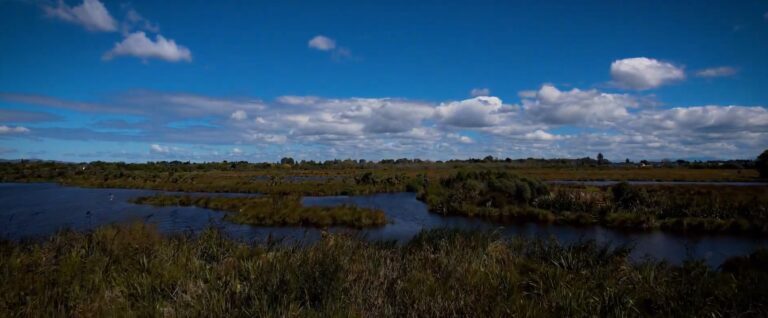
Empowering communities for resilience to climate change through novel flood scenario analytics
Read more
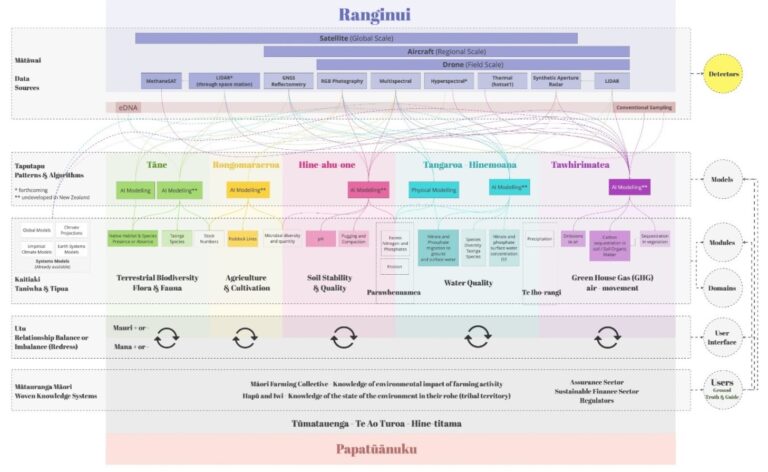
Positioning Māori as first movers in next-generation environmental intelligence: The Kaitiaki Intelligence Platforms (KIPs)
Read more
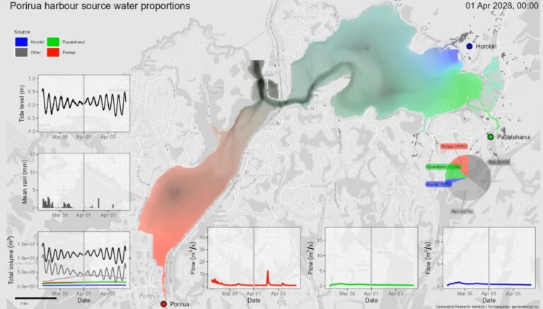
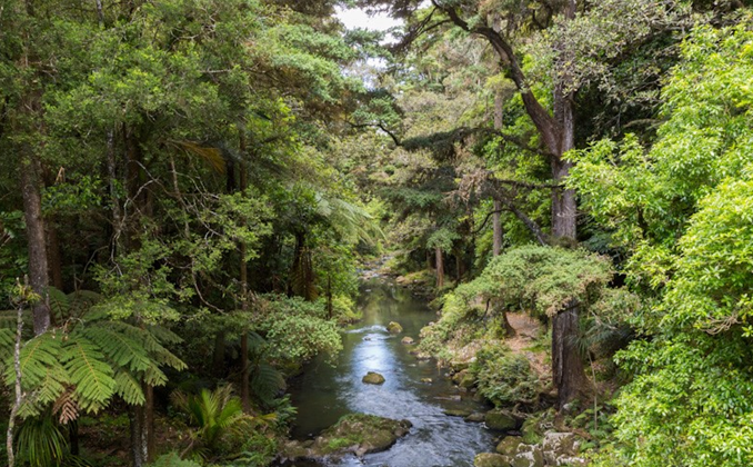
Te Awarua-o-Porirua Harbour flow model: Phase 1
Read more
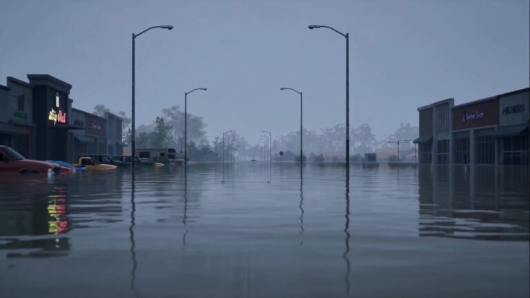
Virtually flooded: Improved risk communication through immersive virtual reality
Read more
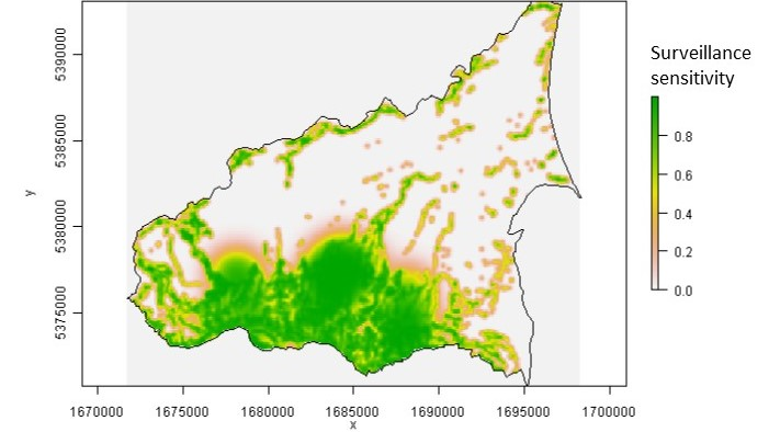
Mātauranga Māori Framework For Surveillance (MMFS) For Plant Pathogens
Read more
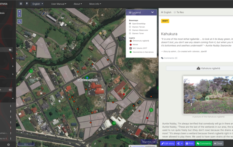
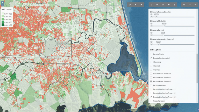
Map-based tools for Community and Rūnanga-led sustainable town planning, in small and medium settlements in New Zealand
Read more
Integrated Surveillance
Read more
Map-based tools for community and Runanga-led sustainable town planning
Read more
The Building Better Homes Towns and Cities: Ko ngā wā kāinga hei whakamahorahora
Read more
Other Research Areas
Health
Co-developed with Māori
Natural Hazards
Remote Sensing
Digital Twins
Urban Development
Water Resources
Machine Learning
Spatial Ecology