We develop novel geospatial technologies and methods in areas of critical importance for sustainable development. Our work is driven by open data and software; in return, our research outputs are openly available.
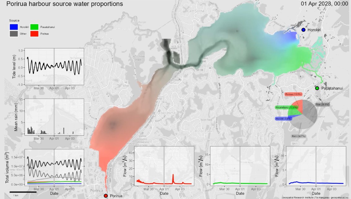
A flow model of the Porirua Harbour with water source tracing capability was developed to enable an assessment of where is likely to be most affected by fluvial pollutants and assess the tidal flushing of the harbour. The model was developed and is available under open-source licensing. By using the model to assess where in the harbour is affected by which contributing water source, and by how much, results from the model can be used to infer where fluvial pollutants are likely to be within the harbour.
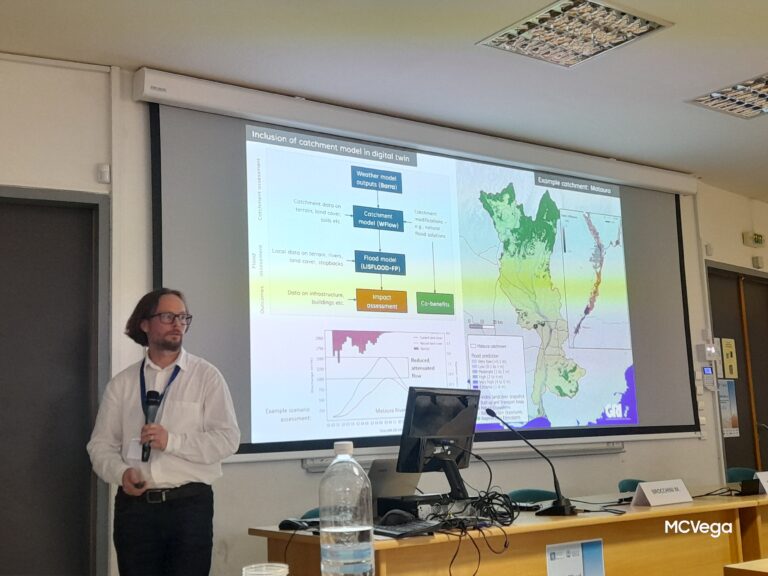
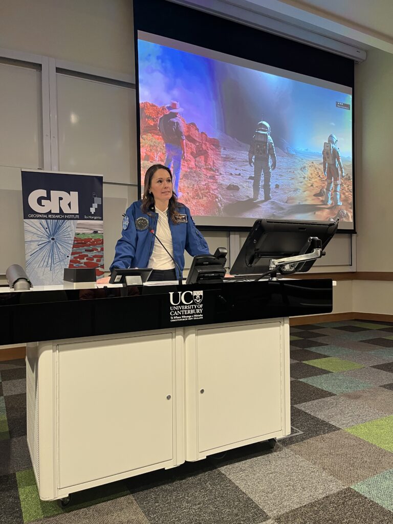
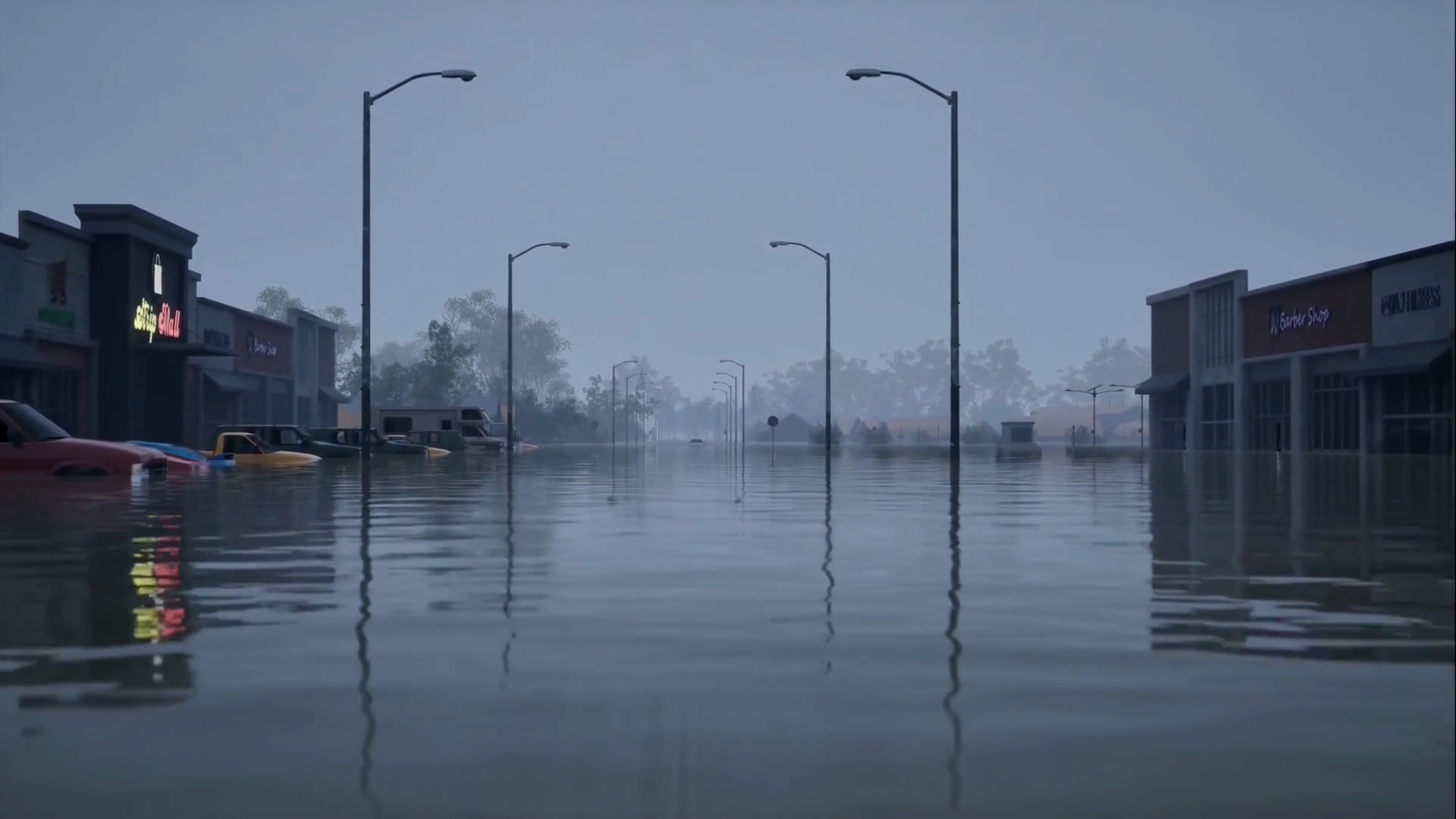
Flood risks are generally poorly understood by the public, with flood events taking
communities by surprise even if risk assessments have been completed. Further, traditional
two-dimensional risk maps are limited by interpretability challenges. Three-dimension
AI visualisations and immersive Virtual Reality (VR) technology have been found to be
more intuitive due to their increased realism. This research will design and test advanced
visualisations of flood risk using VR, with the aim to improve awareness of flood risk in
Aotearoa.
Our mission is to be a national centre of gravity for geospatial research to deliver transdisciplinary solutions that enables the benefits of spatial information technology to be fully realised.