UN-WGIC 2018
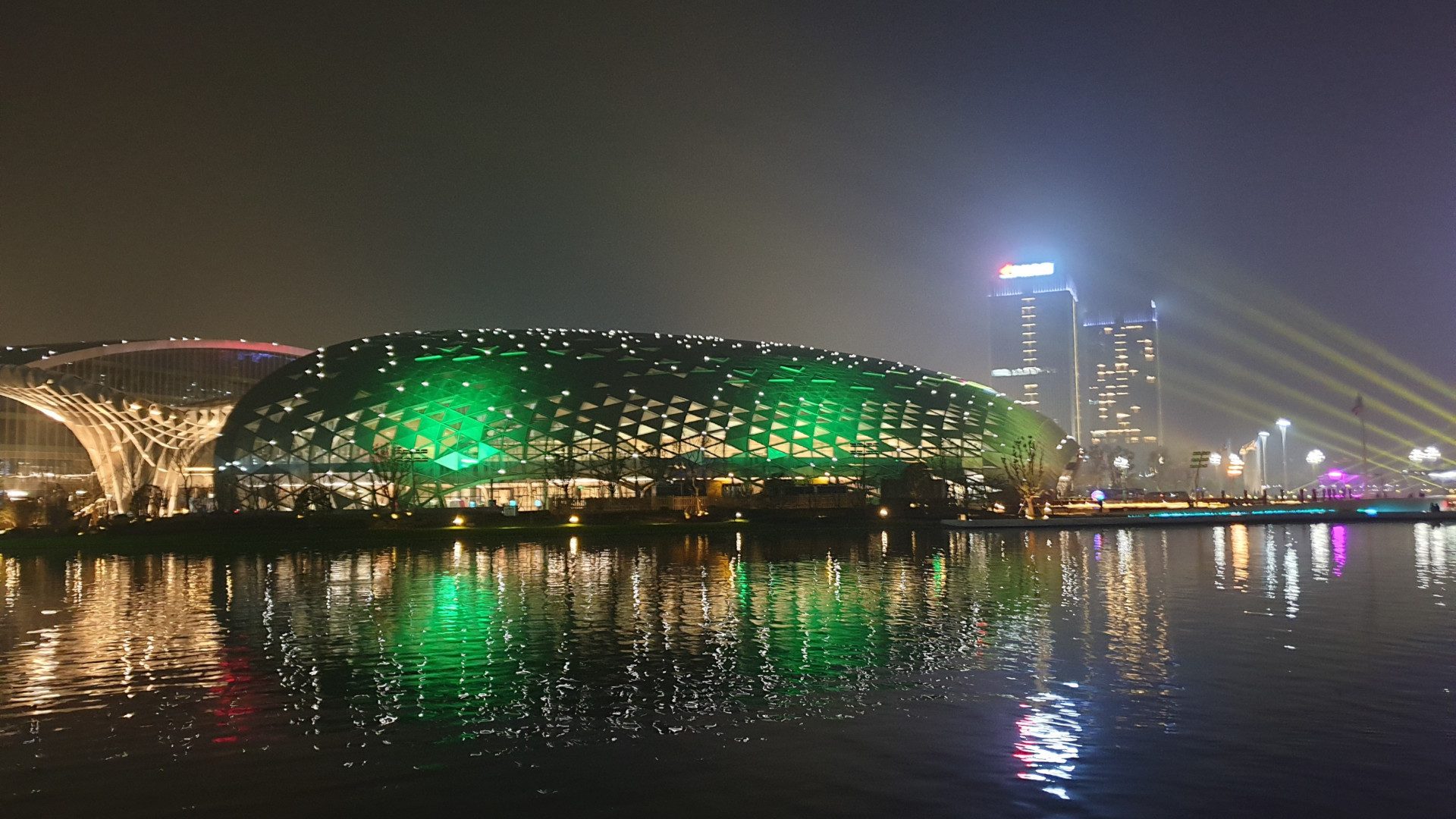
The United Nations World Geospatial Information Congress has wrapped up in in Deqing, Zheijang Province, China The GRI Toi Hangarau was represented at the UN-WGIC (19-21 November 2018) by its Director, Prof. Matthew Wilson, who said: “I feel honoured to have attended the UN-WGIC, along with around 1,200 other geospatial professionals representing 83 countries from […]
GEOSPATIAL RESEARCH SEMINAR SERIES (GRISS) – 30 November 2018
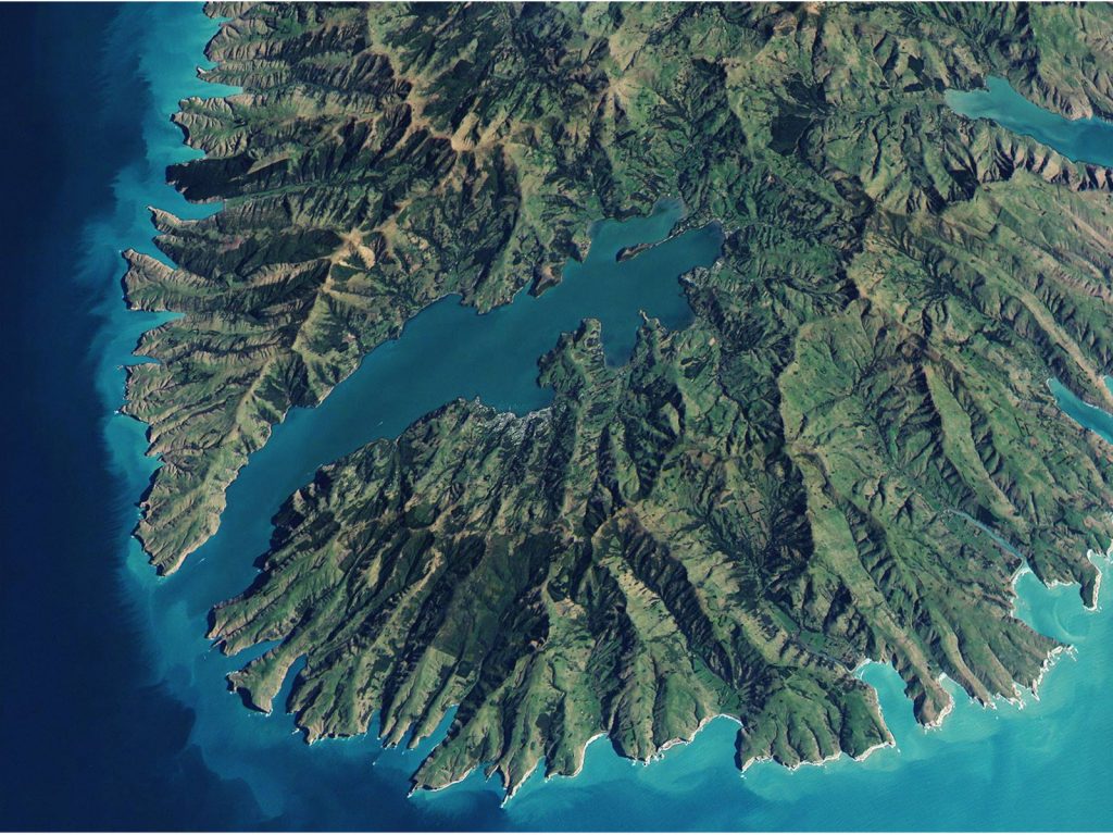
Jennifer Brown, School of Mathematics and Statistics, University of Canterbury Trends in Environmental Sampling Spatially balanced sampling is becoming a popular design for surveys in biological and environmental management. In large scale surveys the use of a spatially balanced design gives some assurance that there will be spatial coverage over the entire area. The resultant […]
New research article – Challenges to gaining better value from geospatial information

Challenges to gaining better value from geospatial information Gaining useful information about our built, social and natural environments is vital and possible. The value of data for cities is more informed, more effective management and development choices resulting in more benefits to a greater range of stakeholders. This article explores the state-of-play of data infrastructures […]
Towards Real-time Federation of Spatial Data for Hazard Risk Management – Feedback and Follow-up
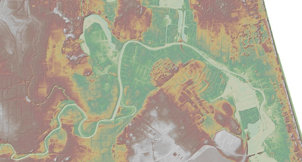
Prof. Matt Wilson, Director, Geospatial Research Institute (GRI) Rob Deakin, Manager, Resilience Group, Land Information New Zealand (LINZ)Dealing with natural hazards, whether planning or response, requires an increasing quantity of disparate spatial data. However, increasing data volumes are difficult to manage, particularly when data are distributed by multiple agencies. Consequently, from the hazard management perspective, […]
ESP features on Architecture Now website
Designed to disrupt: A digital tool for urban regeneration The National Science Challenges are government funded initiatives that are designed to set strategic goals for creating a better Aotearoa. The 11 challenges cover topics ranging from childhood education to ageing and nutrition to ecology. Researchers in the architecture, urbanism and design fields from universities around […]
ISCRAM Asia Pacific 2018 in Wellington on 5-7 November
Upcoming disaster information systems conference in Wellington The purpose of ISCRAM Asia Pacific 2018 is to exchange research into and experiences of information systems use in emergency management, particularly focussed around applications of information systems in the context of the four priorities of the Sendai Framework (2015-2030) for disaster risk reduction, namely: 1. understanding disaster […]
GRI’s Envision Scenario Planner is NZSEA finalist

Finalists for the 2018 New Zealand Spatial Excellence Awards have been announced today. [blockquote text=”“This year’s entrants have continued to deliver world class examples of how using geospatial technology is delivering tangible benefits and increasing productivity for a diverse range of businesses, communities, local and central governments.””]Included in the list of finalists is the exciting […]
New Chief Science Adviser for Ministry of Transport

GRI Deputy Director, Professor Simon Kingham has been named the first Chief Science Adviser for the Ministry of Transport | Te Manatū Waka. UC Deputy Vice-Chancellor | Te Tumu Tuarua Professor Ian Wright has congratulated Professor Kingham on the new role which will see him splitting his time between UC and the ministry.[blockquote text=”“Professor Kingham’s […]
NZ Geospatial Research Conference 2017

NZ Geospatial Research Conference 2107 The NZ Geospatial Research Conference 2107 took place in Christchurch, at the University of Canterbury, on the 4th-5th December 2017. The programme included many aspects of geospatial research and practice – including theory, technology, application, and innovation. The conference will include a range of academic sessions, plenary lectures and social […]
GeoHealth Lab merges with GRI
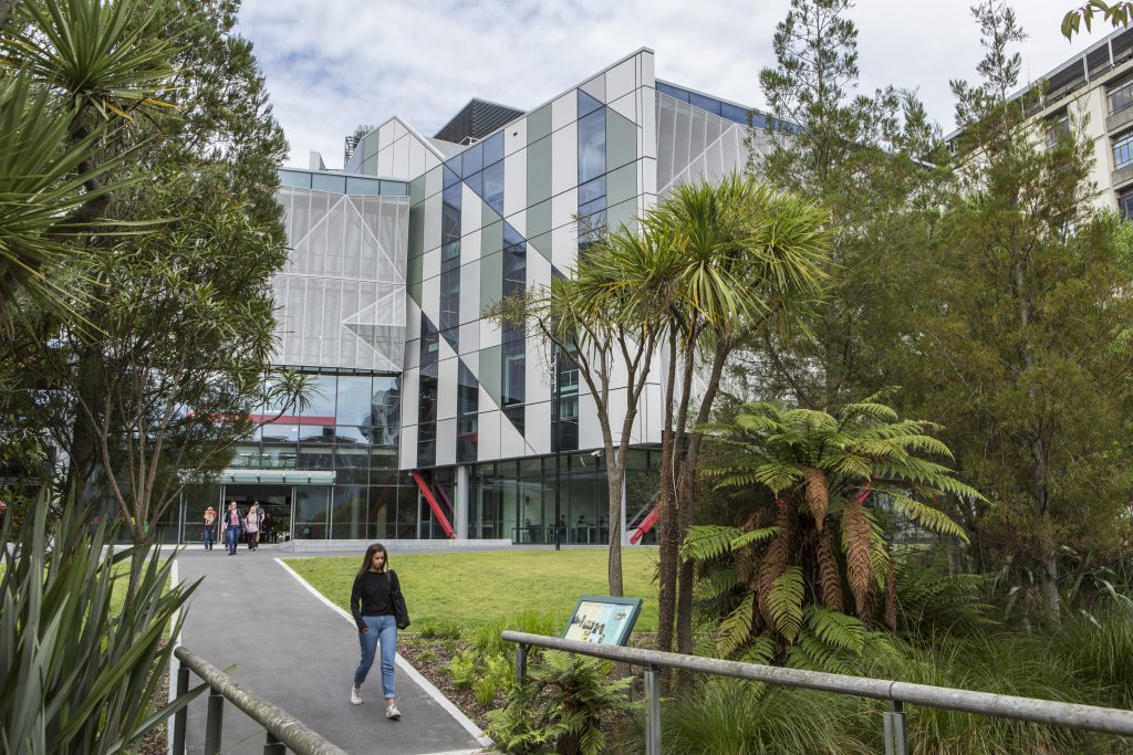
The GeoHealth Lab merges with the GRI The GeoHealth Laboratory, now in its 11th year of operation, has this month, merged its operations with the Geospatial Research Institute. This will improve collaborative work across related areas of research in such areas as Town Planning and Urban Health[blockquote text=”GeoHealth Laboratory research has also been highly visible […]
