
GRI researcher Dr Matthew Hobbs awarded for research in obesity
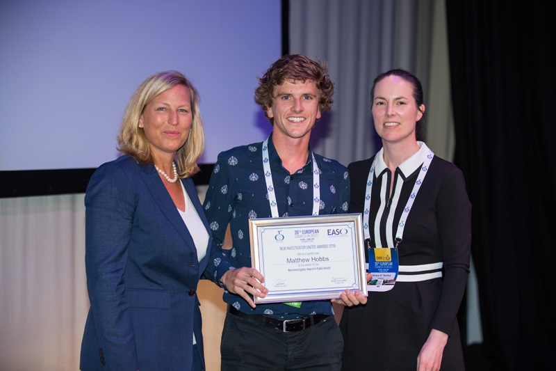
Dr Matthew Hobbs, a researcher in the GeoHealth Laboratory within the GRI at the University of Canterbury, was awarded by The European Association for the Study of Obesity (EASO) the New Investigator Public Health Award, which marks out rising stars of obesity and public health in Europe. He received the award at the EASO 2019 Annual Congress on […]
GEOSPATIAL RESEARCH SEMINAR SERIES (GRISS) – 28 June 2019
Dr John McCarthy is a Principal Technical Specialist within the Health & Disability Intelligence Group at the Ministry of Health (MoH). In this talk John will be discussing the capability and capacity for geospatial analysis at the MoH, and how geospatial evidence contributes to policy formation and Government priorities. A current project, the development of an Atlas of Cancer Variation for New Zealand, will be presented as a working example.
Submissions open: NZ Geospatial Research Conference 2019
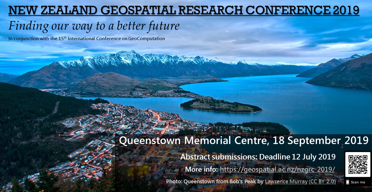
Kia ora koutou katoa, We are pleased to announce that abstract submissions are now open for the 2019 New Zealand Geospatial Research Conference. We invite you to join us at the Queenstown Memorial Centre in beautiful Queenstown, Otago on 18 September 2019 and present your geospatial research. Please submit your abstracts of no […]
GEOSPATIAL RESEARCH SEMINAR SERIES (GRISS) – 31 May 2019
The spatial data that underpin the maps we see are often compromised by the limited space for them in the map. For example, a large amount of features have to be mapped in cities but there is comparatively less area to contain them relative to the feature-poor rural areas. We usually apply generalisation processes to select, emphasise and simplify representations of data in the map so that it “fits”. We introduce an alternative data-driven approach to allocating map space, where cartogram techniques expand or contract space to accommodate more or less data.
New GRI PhD student – Olivia Willoughby
GRI welcomes a new PhD student, Olivia Willoughby Olivia will be working on the topic of Spatial variations in Māori health outcomes, supervised by Prof. Simon Kingham and Dr. Malcolm Campbell and funded by a GeoHealth scholarship from the Ministry of Health, New Zealand. Olivia says “I started at UC a few years ago when […]
GEOSPATIAL RESEARCH SEMINAR SERIES (GRISS) – 3 May 2019
The collection and analysis of environmental data are critical to us understanding the New Zealand environment of the past, today and to anticipate the future. Conclusions drawn from environmental observations, analysis and models guide decisions and actions by governments, businesses and individuals. The complexity of the issues we need to understand require the ability to easily discover, access and use environmental data across a broad range of domains. The reality is that although environmental data is abundant, potential users are hampered by an inability to discover, access, and use the information.
GEOSPATIAL RESEARCH SEMINAR SERIES (GRISS)
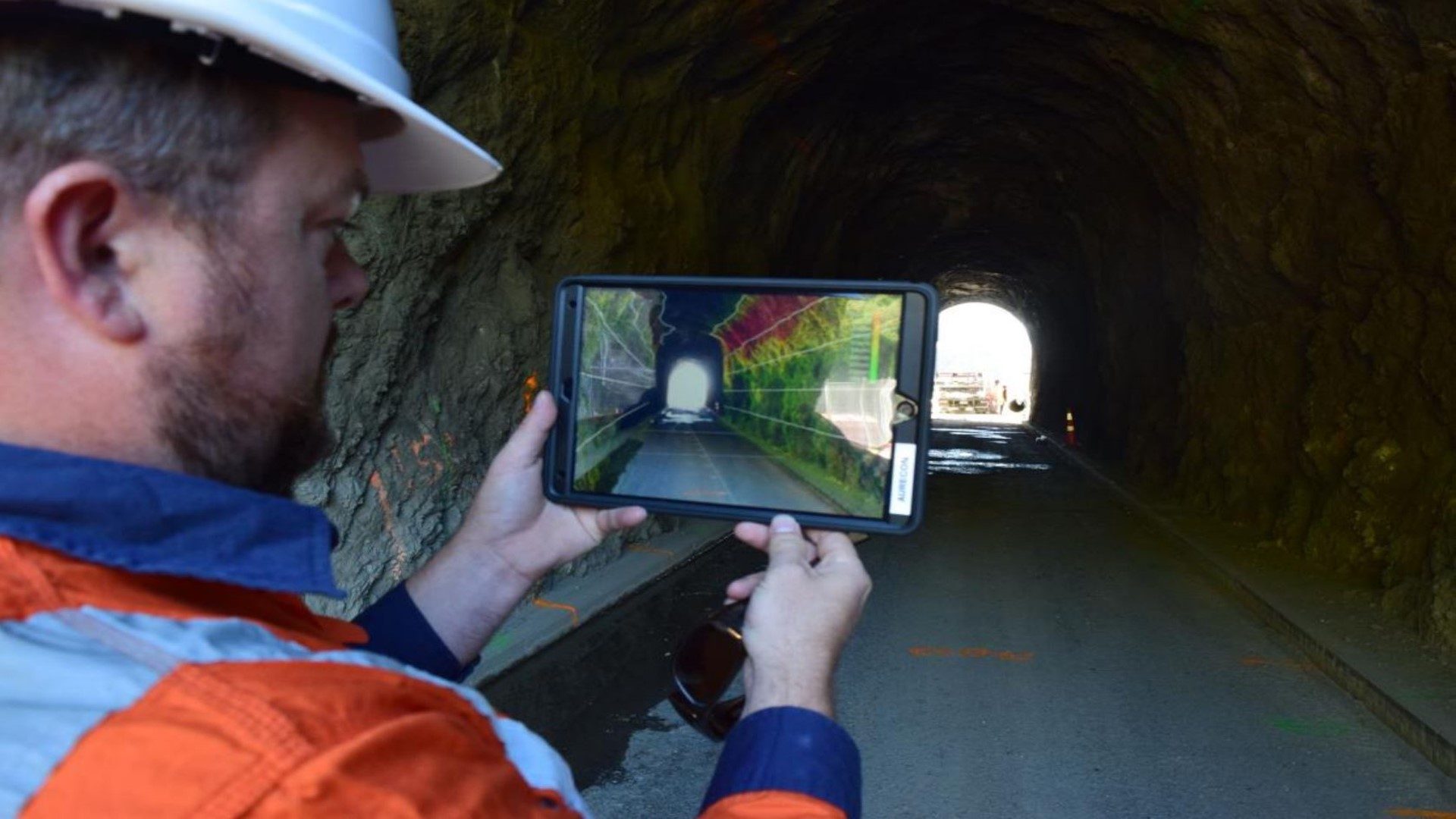
Augmenting Abilities: Reality Capture to Design, Analysis, and Immersive Experiences The way we interact with the design process is evolving, from how we capture information about the world around us, to how we engage with design tools. This presentation will showcase how we’ve adopted emergent technology into daily workflows at Aurecon, enabling us to perform […]
First call: New Zealand Geospatial Research Conference 2019
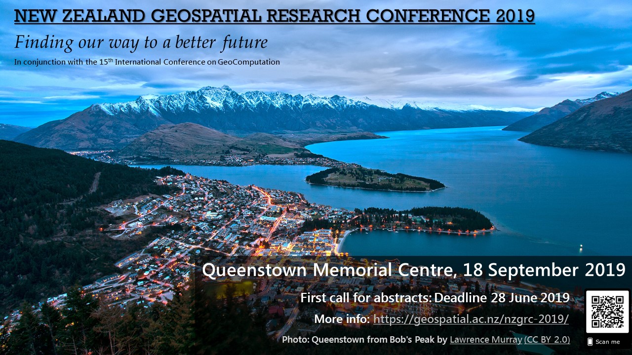
We’re pleased to announce that the NZGRC-2019 will be held in Queenstown on 18 September 2019, in conjunction with the 15th International Conference on GeoComputation. Please see the conference website at https://geospatial.ac.nz/nzgrc-2019/ for further details.
GEOSPATIAL RESEARCH SEMINAR SERIES (GRISS) – 22 February 2019
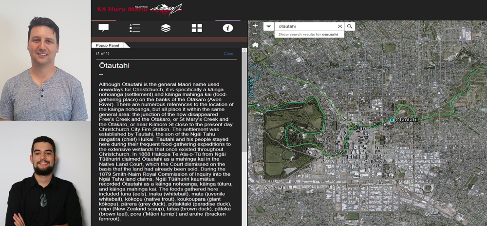
In today’s modern society, Ngāi Tahu is adopting geospatial technology as a tool to assist with the protection of Ngāi Tahu history for future generations. Led by the iwi driven Kā Huru Manu (Ngāi Tahu Cultural Mapping Project), Ngāi Tahu Papatipu Rūnanga are using geospatial technology to research and present evidence seeking protection of Ngāi Tahu cultural values through central and local government statutory planning processes, resource consent applications and restoring traditional Māori place names through the New Zealand Geographic Board process.
BES 2018
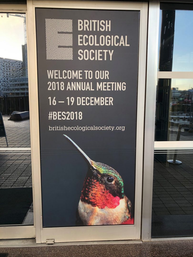
GRI researcher presents at the 2018 meeting of the British Ecological Society Dr. Audrey Lustig, a postdoctoral researcher in the GRI Toi Hangarau working on spatial modelling of species distribution, presented her paper on regional pest management to the British Ecological Society meeting, held in Birmingham from 16-19 December 2018. Audrey said of her experience: […]