Augmenting Abilities: Reality Capture to Design, Analysis, and Immersive Experiences
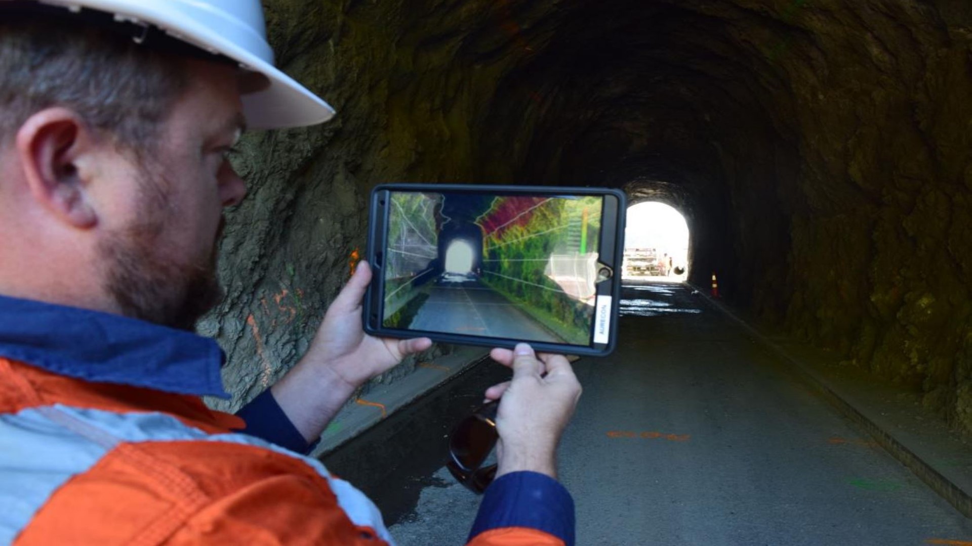
The way we interact with the design process is evolving, from how we capture information about the world around us, to how we engage with design tools. This presentation will showcase how we’ve adopted emergent technology into daily workflows at Aurecon, enabling us to perform tasks that seemed impossible not long ago by augmenting our abilities with smarter tools. We will explore a range of technology for capturing data, from Drones/Unmanned Aerial Vehicles and Rovers/Unmanned Ground Vehicles to compact laser scanners and depth sensing cameras. Then showcase how we’re fabricating equipment in-house to make this all possible and finally how we’re combining it all with VR/AR/MR technology to make both design and analysis an immersive experience.
Simon Yorke – Advanced Design Technologist – Aurecon
Simon is a pioneer in the application of reality capture and immersive technologies for the AEC (Architectural, Engineering & Construction) industries. Over the past 15 years he has built up a wealth of knowledge and developed key relationships across technology providers, both software and hardware. This has positioned Aurecon to have early access to new technology for testing and enabled development of new workflows and solutions for clients well ahead of official public release.Simon’s eminence in this space has made him a sought-after key speaker at events worldwide to showcase the innovative application of emergent technology for real world solutions for Aurecon’s clients. From bus driver training simulators and virtual reality kayaks for public engagement to the design and development of digital learning spaces, Simon has lead teams to not only deliver immersive technology solutions, but also utilise virtual, augmented or mixed reality as part of the design process.Simon has a background in structural and civil BIM modelling, vehicle simulations, pedestrian modelling, wayfinding simulations, reality capture laser scanning, UAV data capture, and digital fabrication. This depth of knowledge of data formats and their workflows combined with a passion for emergent technology has seen him spend more than a decade pushing to move people and industries away from 2D documentation towards a future of collaborative and immersive information management.
Room 263, Ernest Rutherford Building
Join us for a networking lunch from 1; Simon’s talk will begin at 1:30


