Telling yesterday’s stories with today’s geospatial technology
Adrian Patchett and Sean Bragg (Te Rūnanga o Ngāi Tahu)
Mō tātou, ā, mō kā uri ā muri ake nei – for us and our children after us
“So we go back to the land, the whenua, and we put the names in place because that’s where the history is. Academia has given us one part of history. We have a responsibility to take that other piece and put it together,” (Trevor Howse, Ngāi Tahu).
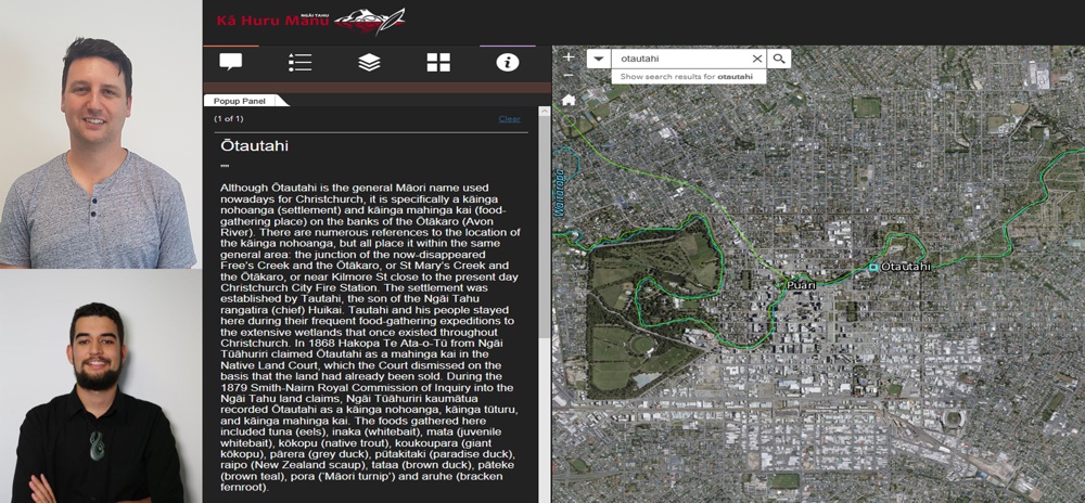
In today’s modern society, Ngāi Tahu is adopting geospatial technology as a tool to assist with the protection of Ngāi Tahu history for future generations. Led by the iwi driven Kā Huru Manu (Ngāi Tahu Cultural Mapping Project), Ngāi Tahu Papatipu Rūnanga are using geospatial technology to research and present evidence seeking protection of Ngāi Tahu cultural values through central and local government statutory planning processes, resource consent applications and restoring traditional Māori place names through the New Zealand Geographic Board process. Through the adoption of geospatial technology Ngāi Tahu is enabling historical and cultural information to be readily available to communities who otherwise would have little contact with the iwi.
Please join us as we delve into the world of Ngāi Tahu GIS and explore the impact on cultural outcomes with a broader focus on the methods and technology used.
Join us for coffee, tea, a light snack and networking from 12.30 pm; the seminar will start at 1 pm.
Please circulate and share this information with others who you think may be interested: all are welcome.
Venue:
Room 263, Ernest Rutherford Building,