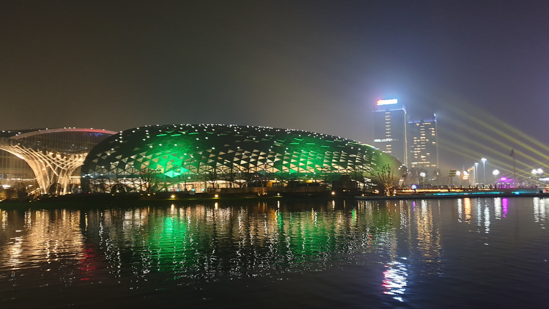
The United Nations World Geospatial Information Congress has wrapped up in in Deqing, Zheijang Province, China
The GRI Toi Hangarau was represented at the UN-WGIC (19-21 November 2018) by its Director, Prof. Matthew Wilson, who said:
“I feel honoured to have attended the UN-WGIC, along with around 1,200 other geospatial professionals representing 83 countries from all corners of the globe. The theme of the congress was The Geospatial Way to a Better World and great discussion was held regarding how geospatial research, technology and analysis can be used to help meet the 17 Sustainable Development Goals (SDGs) of the 2030 Agenda for Sustainable Development. Seeing the work being done around the world for the benefit of the environment and society was truly inspirational.
“The congress was held in Deqing in impressive conference facilities, purpose-built for this event. The welcome provided by the city and country was exceptional. Deqing hopes to become the ‘Davos of Geospatial’: this congress was a significant step towards this goal.
“The congress began with keynote addresses by Jack Dangermond (President, ESRI) and James Fallows (journalist and writer, The Atlantic), who set out inspirational visions of the future and the importance of geography and knowledge derived from geospatial data and information. This tone continued throughout the congress with the value of geospatial for meeting the SDGs highlighted, with a particular focus of leaving nobody behind in reaching for these goals.
“Among many highlights during the congress, plenary session discussions included Daniel Zhang (CEO of Alibaba Group) who stated that ‘geospatial is the infrastructure of the future digital economy‘; Virginia Burkett (Chief Scientist, Climate and Land Use Change, USGS) who highlighted the importance of free and open data for increasing resilience and reducing risk; and Alexandre Caldas (Chief of Country Outreach, Technology and Innovation Branch in the Science Division, UN Environment) who emphasised that ‘we cannot have a better world if we do not save our planet‘.
“The congress concluded with Stefan Schweinfest (Director of the UN Statistics Division), issuing the Moganshan Declaration. This sets out 10 resolutions for the use of geospatial technology towards implementation of the 2030 Agenda and SDGs, including addressing the need to ‘bridge the geospatial digital divide‘ and to ‘explicitly connect geospatial information to national development agendas‘. In addition, the declaration resolves to ‘support the establishment of Global Centers of Excellence on Geospatial Knowledge‘ in order to ‘promote and build global geospatial capacity and capability‘.
“The Moganshan Declaration provides an ideal guiding framework for the development of geospatial research for the benefit of all. In the GRI Toi Hangarau we will explore how we can develop our strategic objectives in support of this.”
The next UN-WGIC will be held in four years.
More information:
- Moganshan Declaration: http://ggim.un.org/unwgic/documents/Moganshan_Declaration_Draft_Final.pdf
- Congress website: https://www.unwgic2018.org/
- UN Sustainable development agenda: https://www.un.org/sustainabledevelopment/development-agenda/
- Local media report on the congress, including an interview with Prof. Wilson!: https://zj.zjol.com.cn/news.html?id=1077251
- Detailed report of the congress in Geospatial World: https://www.geospatialworld.net/blogs/unwgic-an-exceptional-event-surpassing-all-expectations/