
Geospatial Research Seminar Series (GRISS) – 30 April 2021
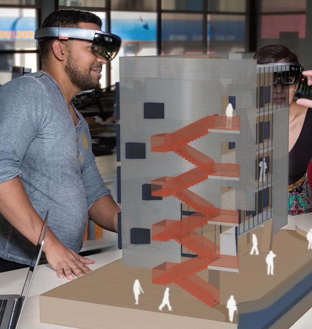
Much has been written about the need to unlock the power of data and digital methods to improve the performance of infrastructure and productivity of the building industry. Recognising the potential benefits of these methods, the New Zealand Government and building industry are co-investing in an eight-year (2018-2026) research programme, under the banner of the Building Innovation Partnership (BIP), to accelerate digitalisation of the infrastructure sector. This industry-led programme has to date focused on two applications of data and digital methods.
Geospatial Research Seminar Series (GRISS) – 5 March 2021
Global Satellite Navigations Systems such as GPS enable positioning information accurate to about 5-10 metres. A Satellite Based Augmentation System (SBAS) will improve the accuracy to less than a metre, and in some devices to 10 centimetres, and provide greater integrity. More precise and accurate positioning increases our productivity, secures our safety and enables innovation. Unlike most regions of the developed world where SBAS is available, Australasia does not currently have access to any reliable free-to-air augmentation services. LINZ and Geoscience Australia are working together to develop a regional SBAS to improve the accuracy of GPS.
Geospatial Research Seminar Series (GRISS) – 27 November 2020
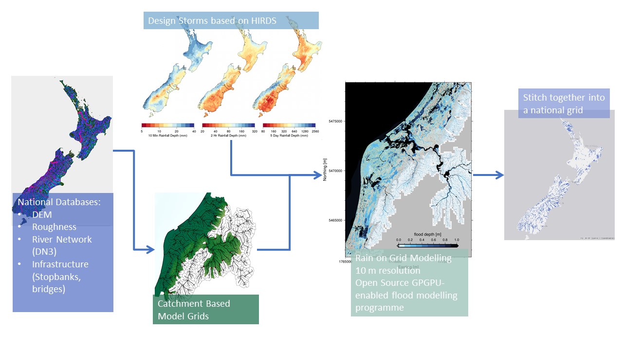
Flooding is Aotearoa/New Zealand’s most frequent hazard and its impact will only increase under climate change through both more intense rainfall events and sea level rise. We are currently going through a massive flooding infrastructure revamp as well as investing in significant urban development. However, we don’t yet have a consistent national understanding of what our flood risk is now – let alone in the future.
Geospatial Research Seminar Series (GRISS) – 25 September 2020 (online & in person)
Prof Sabel is a spatial data scientist working in the nexus between health and spatial data informatics. He is Director, BERTHA – Big Data Centre for Environment and Health at Aarhus University, but previously worked at the University of Canterbury, Department of Geography as a GISc lecturer. The BERTHA Big Data Centre for Environment and Health at Aarhus University, Denmark, aims to muster the huge potential opportunities from the Big Data revolution to help us understand the complex interactions between environmental pollutants and human health.
Senior Lecturer and research fellow at the GeoHealth Laboratory Dr Matthew Hobbs gives an Author Q&A Research Insight by the British Dental Journal

The article, Investigating the prevalence of non-fluoride toothpaste use in adults and children using nationally representative data from New Zealand: a cross-sectional study, of which Dr Hobbs is the first author, has already been highlighted in the local media and oral health research sector. The full Q&A of Dr Hobbs by the BDJ can […]
GRI PhD Student David Garcia joins the American Association of Geographers initiative for COVID-19 pandemic global response

Within the AAG COVID-19 initiative, David is working with the Phillipines-based geospatial collective he founded, The Ministry of Mapping, to crowdsource the location, treatment capacity, and equipment needs of all health facilities there, while also working with a clinical psychologist to provide emotional support to the mappers themselves as they examine painfully difficult data. […]
Senior Lecturer and research fellow at the GeoHealth Laboratory Dr Matthew Hobbs makes the news talking about his research in the prevalence of non-fluoride toothpaste use in New Zealand
See Dr Hobbs interview at Breakfast morning news show here: https://www.facebook.com/337418942718/posts/10157902159217719/?vh=e&d=n You can also access his related research publication at: https://www.nature.com/articles/s41415-020-1304-5
x
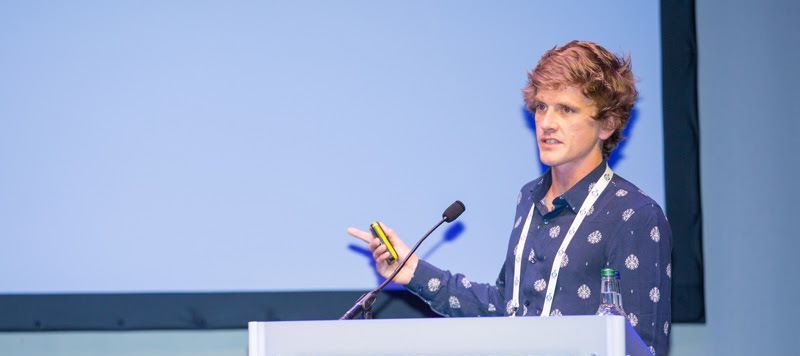
GRI Director, Prof Matthew Wilson presents in Europe
x
GRI Director, Prof Matthew Wilson presents in Europe
x
GRI Director, Prof Matthew Wilson presents in Europe