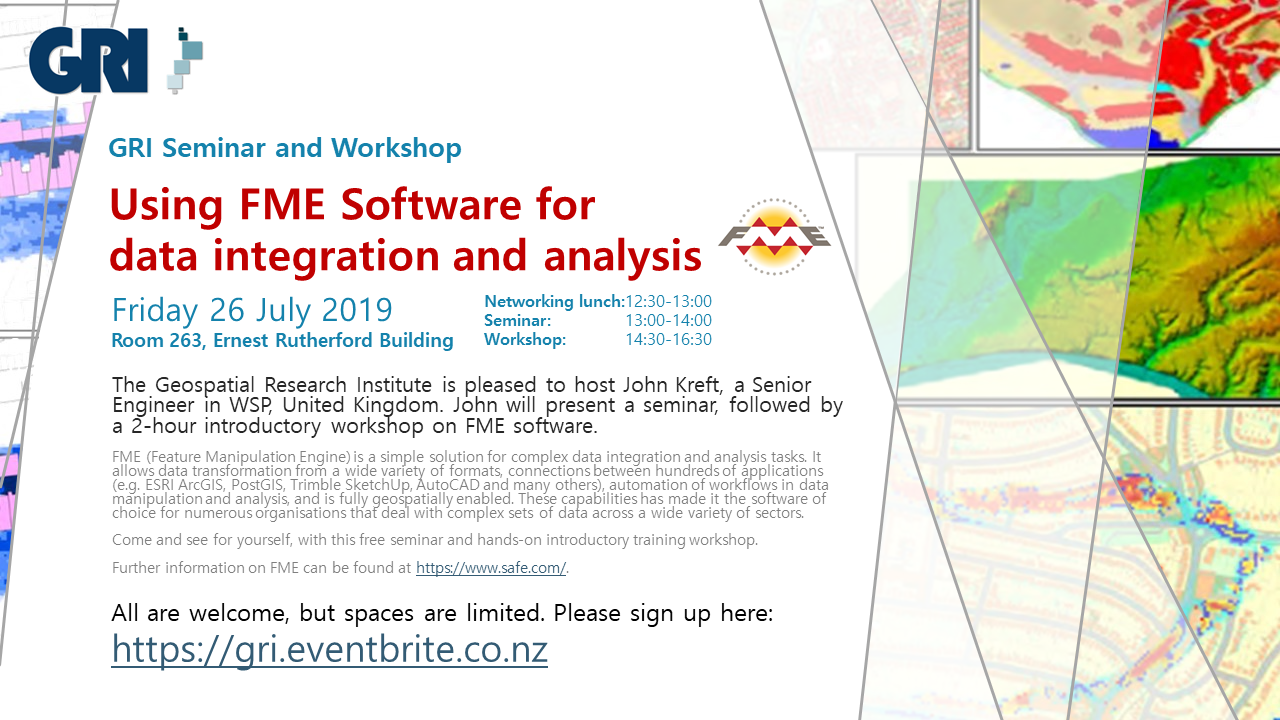
GEOSPATIAL RESEARCH SEMINAR SERIES (GRISS) – 26 July 2019
FME (Feature Manipulation Engine) is a simple solution for complex data integration and analysis tasks. It allows data transformation from a wide variety of formats, connections between hundreds of applications (e.g. ESRI ArcGIS, PostGIS, Trimble SketchUp, AutoCAD and many others), automation of workflows in data manipulation and analysis, and is fully geospatially enabled. These capabilities has made it the software of choice for numerous organisations that deal with complex sets of data across a wide variety of sectors.