Geospatial Research Institute Toi Hangarau PhD Scholarship 2023
We are now accepting applications for the 2023 Geospatial Research Institute (GRI) scholarship. Closing date for applications: 30 June 2023, 17:00pm NZ Time Detailed

We are now accepting applications for the 2023 Geospatial Research Institute (GRI) scholarship. Closing date for applications: 30 June 2023, 17:00pm NZ Time Detailed
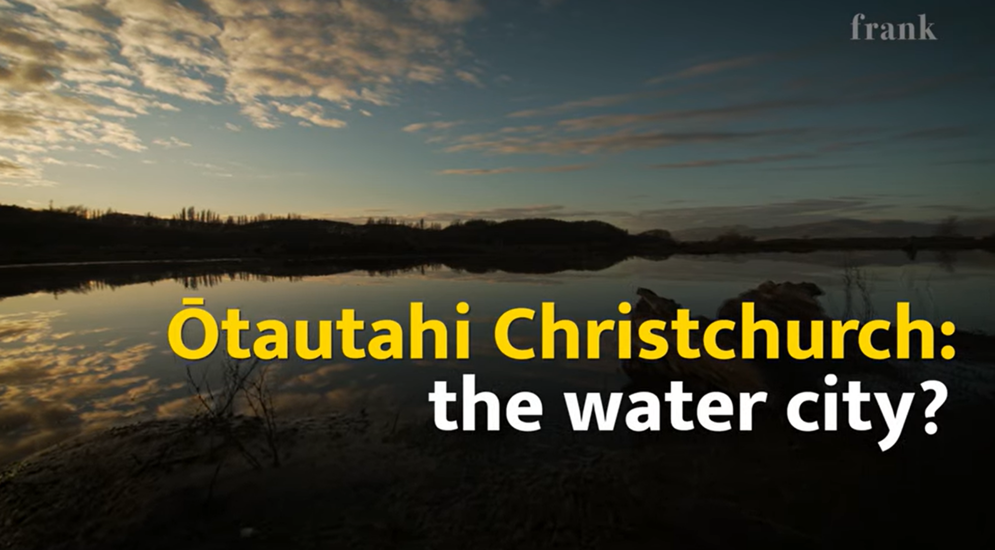
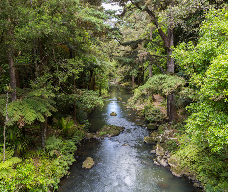
Watch: Ōtautahi Christchurch: the water city? A short documentary starring Prof Matthew Wilson (GRI-UC) and Dr John Reid (Ngāi Tahu Research Centre-UC) talking about Christchurch,
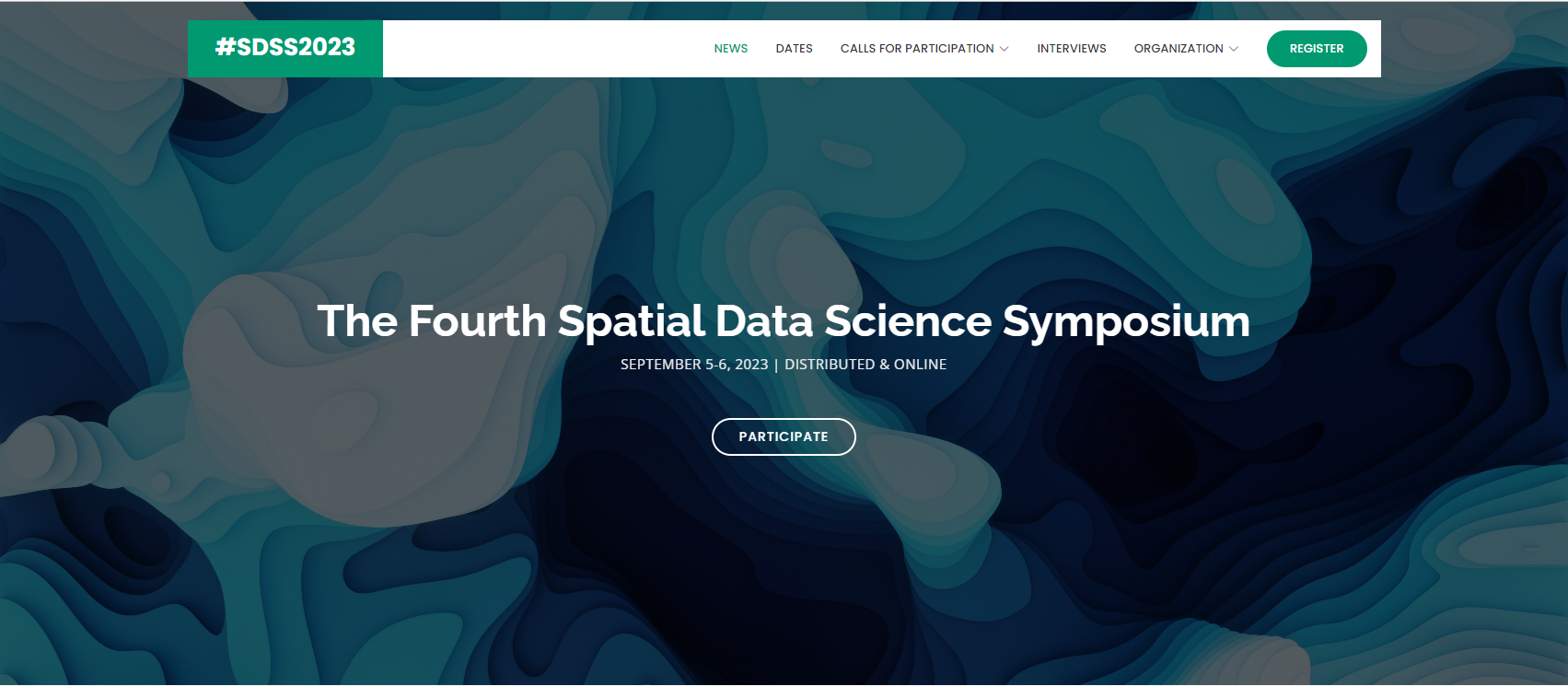
Dear Spatial Data Science Community, SDSS 2023 is a FREE distributed/online symposium that brings together researchers from academia, industry, non-profits, and government from all
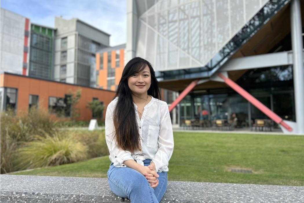
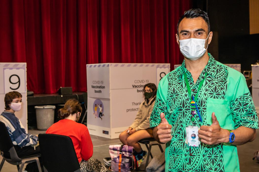
After several years as an oral health therapist in Ashburton, Joanne Lee, who graduates from UC this week with a Master’s in Health Science, was
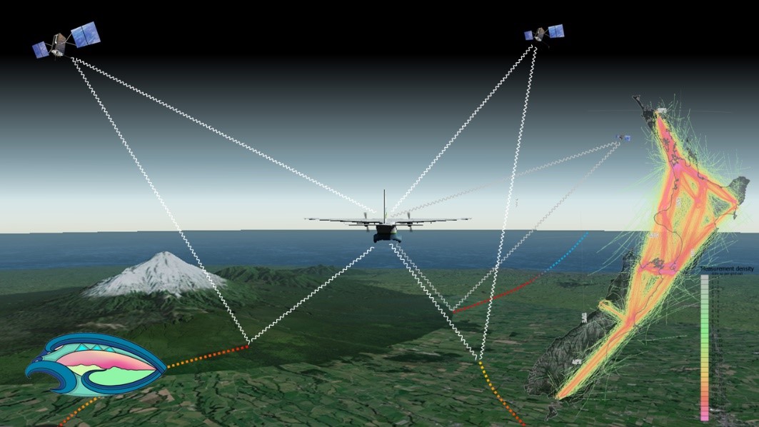
The Global Navigation Satellite System (GNSS), emit radio signals in the L-band to enable precise positioning on the Earth’s surface. GNSS has become ubiquitous in our everyday lives, underpinning location-based technologies from traffic routing to precision agriculture. These GNSS “signals of opportunity” have been used in novel space borne missions such as CyGNSS (Cyclone GNSS), which is primarily designed to observe the ocean surface under tropical cyclone systems. However, signals reflected from the land surface have been found to sensitive to soil moisture and surface water, providing a valuable additional source of data.
Congratulations to Malcolm Campbell, Lukas Marek and Matt Hobbs for the Top Cited Article 2021 – 2022
In the past, there has been a disconnect and little collaboration between the people and organizations doing work on plant pathogens that cause myrtle rust and kauri dieback. This has stymied progress in the management of plant pathogens and diseases, and is still unclear where they occur or not. Here we introduce the principles and methodologies of the Mātauranga Māori Framework for surveillance (MMFS) for plant pathogens.
Video recording available at:
https://www.youtube.com/watch?v=3Czj2fB_1iU&list=PLJymSfBIuEWKYLJbi6LzyiRXKtAQBbcH3&index=4
Determinants of abdominal aortic aneurysm risk in New Zealand ($110,104 over 36 months) Andrew Kindon’s research will employ geospatial technologies to spatially identify areas

Wanting people to live healthier and happier lives is a big motivation for public health researcher Dr Matt Hobbs, who has been recognised for outstanding
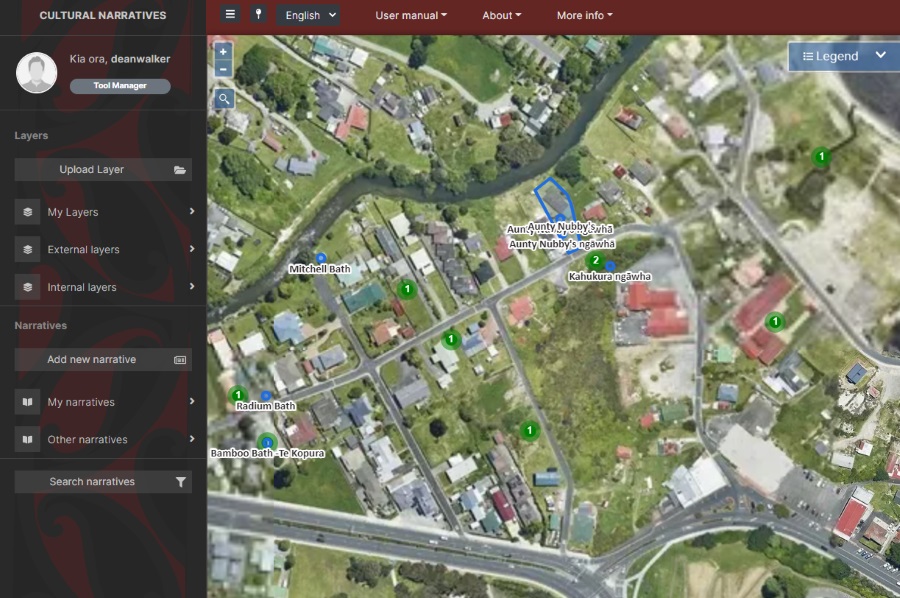
Te Kete Kōrero o Ōhinemutu is a Mātauranga Māori map-based tool co-created by the community of Ōhinemutu and the Geospatial Research Institute Toi Hangarau. Ōhinemutu is a village with deep connection to Ngāti Whakaue. Built on the shores of Lake Rotorua, it is famed for its geothermal features and Te Papa-i-Ouru marae. Te Kete Kōrero o Ōhinemutu has been built to hold and share historical narratives of Ōhinemutu as well as current community initiatives. The range of narratives includes traditional, historic, scientific and lived experiences.
The Geospatial Research Institute is pleased to host Dr Barrett Ens.
Dr Barrett Ens is currently a member of the Data Visualisation and Immersive Analytics research group at Monash University. He received a Bachelor of Music Degree in Music Theory from the University of Calgary in 2005, and a Bachelor of Computer Science from the University of Manitoba in 2007. He later joined the Human-Computer Interaction Lab at the University of Manitoba for his PhD project on ‘Spatial Analytic Interfaces’.
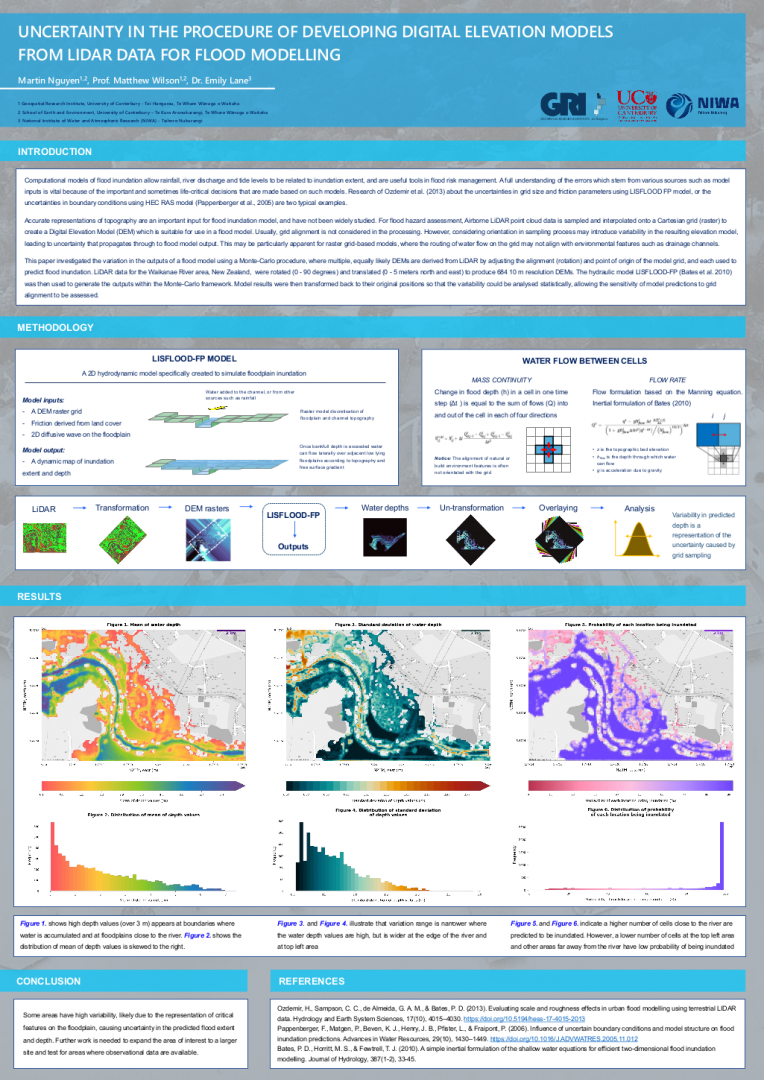
Martin Nguyen presented a poster at the Waterways annual postgraduate conference, titled “Uncertainty in the procedure of developing Digital Elevation Models from LiDAR data for