
The Kaitiaki Intelligence Platform: Integrating mātauranga Māori, artificial intelligence, and sensing technologies in the design of an environmental sensing network.

Dr John Reid be giving a talk called The Kaitiaki Intelligence Platform: Integrating mātauranga Māori, artificial intelligence, and sensing technologies in the design of an environmental sensing network.
MIGARS 2024
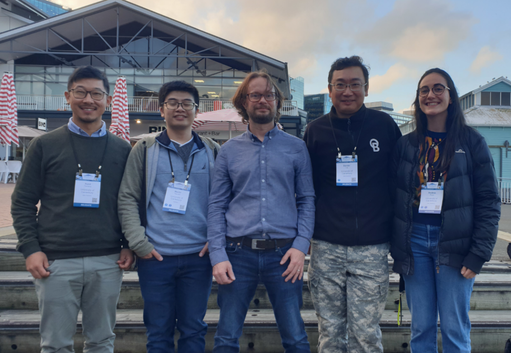
The GRI was well represented at the MIGARS conference (International Conference on Machine Intelligence for Geoanalytics and Remote Sensing ) in Wellington this week. Congrats on all the posters and talks.
How much habitat is enough?
In this seminar, Dr Cristina Banks-Leite will talk about ecological thresholds as a was to estimate the minimum amount of habitat required to preserve biodiversity, and how the position of thresholds changes across biomes world-wide.
Radio localisation: Understanding insect behaviour, busting sport cheats and studying climate change.
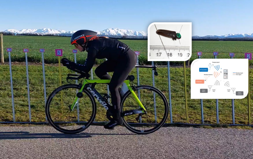
In this seminar, Dr Graeme Woodward will be introducing some of the work at UC’s Wireless Research Centre.
Geospatial Research in Industry
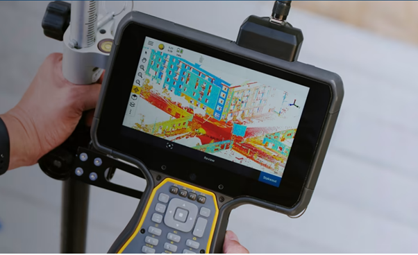
In this seminar, Peter Shaw will be giving an overview of areas of interest at Trimble, particularly, their ongoing pursuit of increased accuracy, reliability, and efficiency in positioning techniques (including mitigation against space weather/ionospheric effects) and the application of AI to Geospatial problems.
Earth Science in an Age of Change
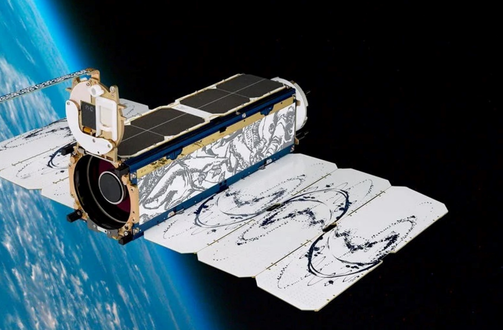
Planet (a public benefit corporation) is imaging the land surface of the Earth on a near-daily basis, with multispectral sensors at ~3.7m per pixel we operate the largest fleet of earth observation satellites in history with a constellation of 19 high-resolution SkySats, capable of 0.5m multispectral imaging. e change, terrestrial an aquatic ecosystems, wildlife biology and agriculture.
Video recording available at:
https://www.youtube.com/watch?v=Dv37CHZct2o&list=PLJymSfBIuEWKYLJbi6LzyiRXKtAQBbcH3&index=7&t=15s
Penguins from Space: Using satellite imagery to monitor emperor penguins in their struggle against a warming Antarctica.
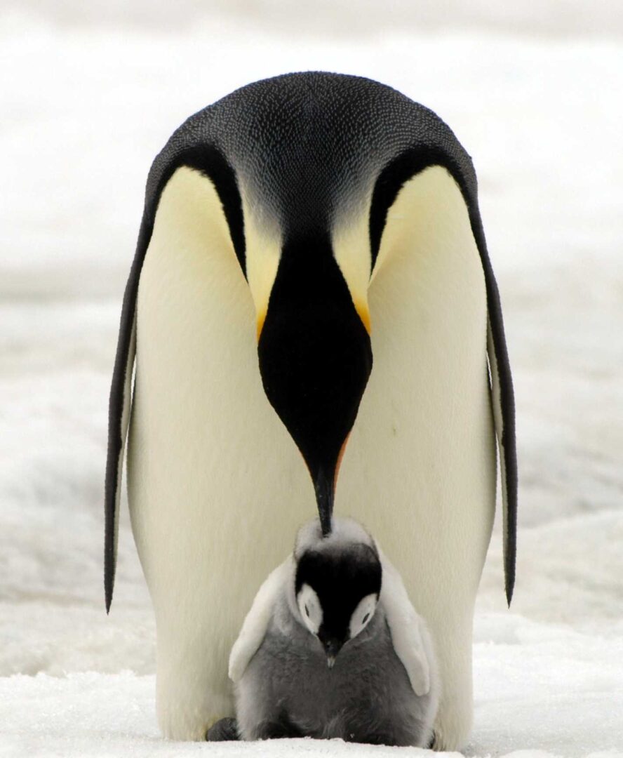
In Antarctica emperor penguins are the species most at risk from climate change. Up until a decade ago our understanding of the species was hindered by the logistical challenges of studying a species which lives in one of the harshest places on earth. But since then advances in our use of satellite imagery has enabled us to find, count and monitor the birds, transforming it from one of the least studied species in Antarctica to one of the best.
Using nationwide geospatial data to build a comprehensive understanding of public water supply, quality and inequity in New Zealand

Reliable supply of safe drinking water is vital for human health. Despite this, there is no consistent nationwide spatial dataset of water distribution zones (WDZ) for Aotearoa New Zealand (A-NZ). In this talk, we will outline the development of a nationwide geospatial dataset of WDZ using data compiled from the 67 district and city councils in A-NZ. We will also outline several early use cases for the WDZ dataset.
Sensing Water: The Rongowai airborne remote sensing mission for GNSS-Reflectometry across New Zealand
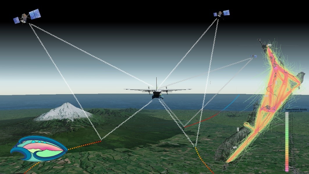
The Global Navigation Satellite System (GNSS), emit radio signals in the L-band to enable precise positioning on the Earth’s surface. GNSS has become ubiquitous in our everyday lives, underpinning location-based technologies from traffic routing to precision agriculture. These GNSS “signals of opportunity” have been used in novel space borne missions such as CyGNSS (Cyclone GNSS), which is primarily designed to observe the ocean surface under tropical cyclone systems. However, signals reflected from the land surface have been found to sensitive to soil moisture and surface water, providing a valuable additional source of data.
Mātauranga Maori Framework for Surveillance (MMFS) for Plant Pathogens
In the past, there has been a disconnect and little collaboration between the people and organizations doing work on plant pathogens that cause myrtle rust and kauri dieback. This has stymied progress in the management of plant pathogens and diseases, and is still unclear where they occur or not. Here we introduce the principles and methodologies of the Mātauranga Māori Framework for surveillance (MMFS) for plant pathogens.
Video recording available at:
https://www.youtube.com/watch?v=3Czj2fB_1iU&list=PLJymSfBIuEWKYLJbi6LzyiRXKtAQBbcH3&index=4