

Speakers:
Tim Chamber, Senior Research Fellow at University of Otago
Matt Hobbs, Senior lecturer (above the bar) at the University of Canterbury
Seminar Summary:
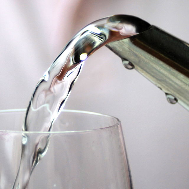
Reliable supply of safe drinking water is vital for human health. Despite this, there is no consistent nationwide spatial dataset of water distribution zones (WDZ) for Aotearoa New Zealand (A-NZ). In this talk, we will outline the development of a nationwide geospatial dataset of WDZ using data compiled from the 67 district and city councils in A-NZ. We will also outline several early use cases for the WDZ dataset. These use cases include 1) a retrospective cohort study investigating the association between maternal exposure to nitrate in drinking water and preterm birth; 2) a retrospective cohort study investigating the association between maternal and child exposure to fluoride in drinking water and oral health and neurodevelopmental outcomes; and 3) an overview of inequities in access to and performance of community water fluoridation schemes. This WDZ geospatial dataset unlocks a huge number of potential research opportunities to investigate the public health and equity implications of drinking water quality in Aotearoa-NZ.
Thursday 20 July 2023
Ernest Rutherford 263 | University of Canterbury or Online via Zoom
- Refreshments & Networking: 12:30-13:00
- Seminar: 13:00-14:00
All are welcome!
Seminar’s video recording:
GRISS-July-2023-Public water suppy in NZ