
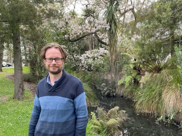
Dr Matthew Hobbs is lead author on a new research paper
A recent international study led by Dr Matthew Hobbs, Senior Lecturer and Co-Director of the GeoHealth Laboratory in the Geospatial Research Institute at Te Whare

A recent international study led by Dr Matthew Hobbs, Senior Lecturer and Co-Director of the GeoHealth Laboratory in the Geospatial Research Institute at Te Whare
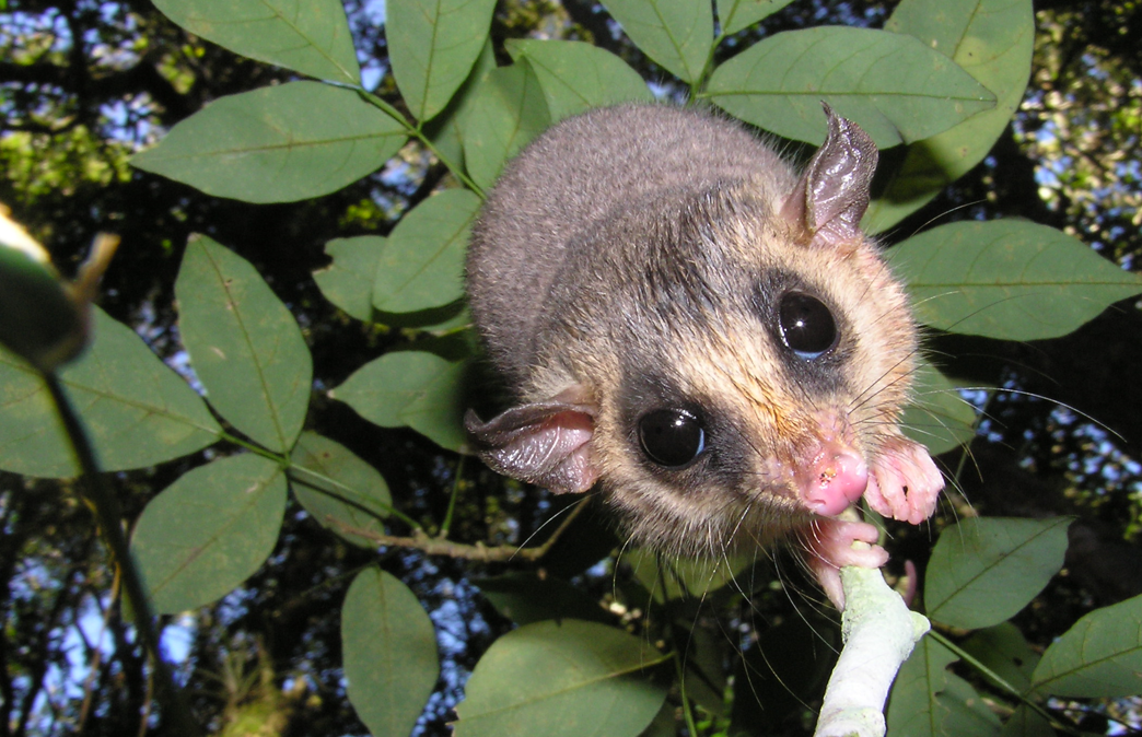
In this seminar, Dr Cristina Banks-Leite will talk about ecological thresholds as a was to estimate the minimum amount of habitat required to preserve biodiversity, and how the position of thresholds changes across biomes world-wide.
Te Whare Wānanga of Waitaha | University of Canterbury (UC) academics have been awarded two of four inaugural IIT-Delhi India-New Zealand Centre Fellowships. For
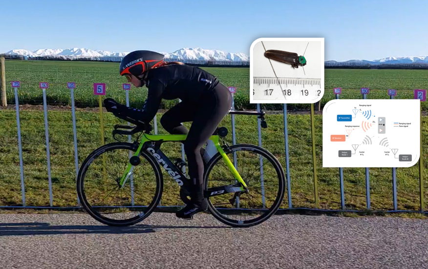
In this seminar, Dr Graeme Woodward will be introducing some of the work at UC’s Wireless Research Centre.
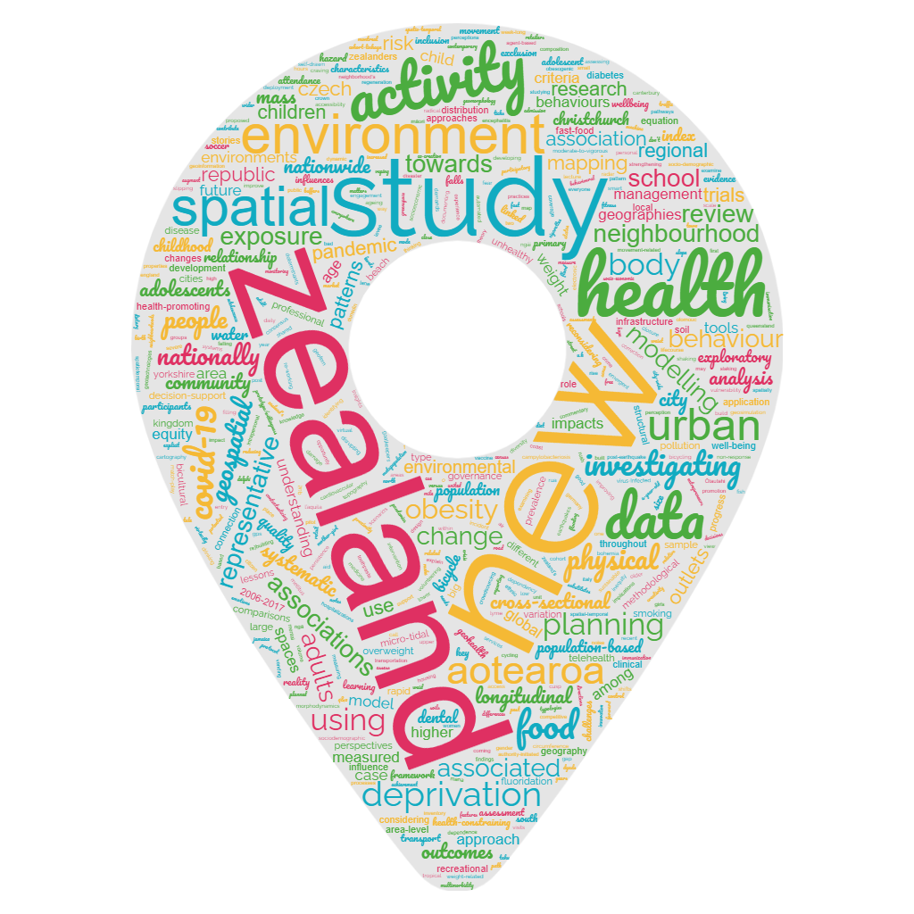
Curious what the Geospatial Research Institute is writing about? Here’s a word cloud based on 104 published journal titles.
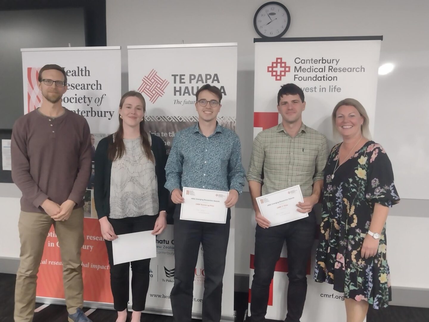
On Thursday 26th October, Te Papa Hauora hosted the Health Research Society of Canterbury’s 2023 Emerging Researcher Awards Evening. Andrew Kindom was awarded with the
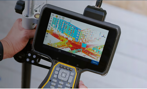
In this seminar, Peter Shaw will be giving an overview of areas of interest at Trimble, particularly, their ongoing pursuit of increased accuracy, reliability, and efficiency in positioning techniques (including mitigation against space weather/ionospheric effects) and the application of AI to Geospatial problems.
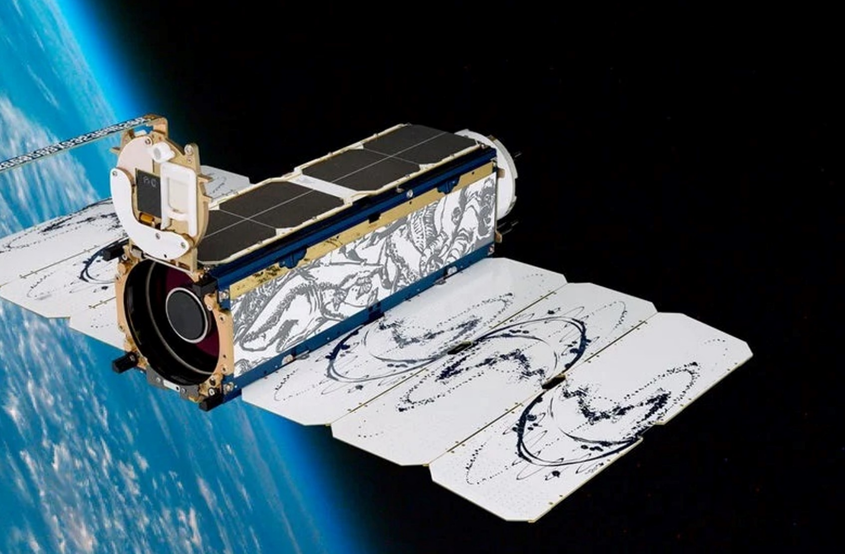
Planet (a public benefit corporation) is imaging the land surface of the Earth on a near-daily basis, with multispectral sensors at ~3.7m per pixel we operate the largest fleet of earth observation satellites in history with a constellation of 19 high-resolution SkySats, capable of 0.5m multispectral imaging. e change, terrestrial an aquatic ecosystems, wildlife biology and agriculture.
Video recording available at:
https://www.youtube.com/watch?v=Dv37CHZct2o&list=PLJymSfBIuEWKYLJbi6LzyiRXKtAQBbcH3&index=7&t=15s
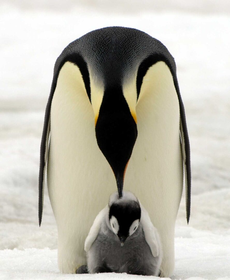
In Antarctica emperor penguins are the species most at risk from climate change. Up until a decade ago our understanding of the species was hindered by the logistical challenges of studying a species which lives in one of the harshest places on earth. But since then advances in our use of satellite imagery has enabled us to find, count and monitor the birds, transforming it from one of the least studied species in Antarctica to one of the best.

Reliable supply of safe drinking water is vital for human health. Despite this, there is no consistent nationwide spatial dataset of water distribution zones (WDZ) for Aotearoa New Zealand (A-NZ). In this talk, we will outline the development of a nationwide geospatial dataset of WDZ using data compiled from the 67 district and city councils in A-NZ. We will also outline several early use cases for the WDZ dataset.
The New Zealand Population Review is a peer-reviewed open-access journal of population and demography with a focus on New Zealand and the Pacific region. It
We are now accepting applications for the 2023 Geospatial Research Institute (GRI) scholarship. Closing date for applications: 30 June 2023, 17:00pm NZ Time Detailed