
The Ōtākaro Digital Twin
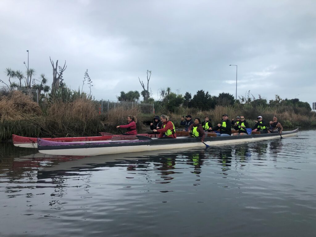
GRI is working with Christchurch City Council and Building Innovation Partnership, on the Ōtākaro Digital Twin. The ultimate purpose is to establish an accessible & innovative platform to collect & communicate knowledge about the Ōtākaro River, serving as a tool to give voice to the Ōtākaro and its importance to the community. The platform will […]
New Zealand SAR Mission Hackathon
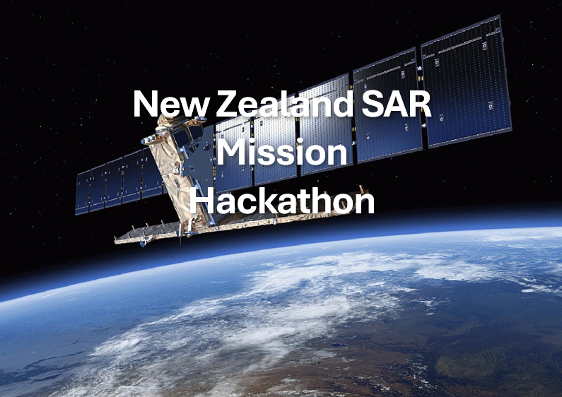
The hackathon, a collaborative event, is open to undergraduate or postgraduate students interested in improving their radar technology expertise through mission design.
The Kaitiaki Intelligence Platform: Integrating mātauranga Māori, artificial intelligence, and sensing technologies in the design of an environmental sensing network.

Dr John Reid be giving a talk called The Kaitiaki Intelligence Platform: Integrating mātauranga Māori, artificial intelligence, and sensing technologies in the design of an environmental sensing network.
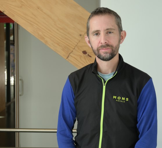
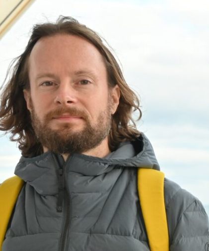
GRI Director, Matt Wilson presents at IGARSS Greece
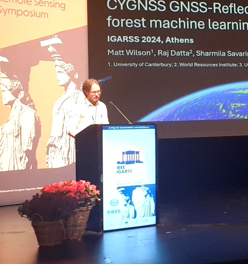
Matt Wilson presented on July 10, 2024 at the 44th annual International Geoscience and Remote Sensing Symposium in Athens, Greece. His talk was titled: “Prediction of soil moisture from near-global CYGNSS GNSS-Reflectometry using a random forest machine learning model”.
Dr Lukas Marek was invited as an expert to Geospatial Summer School 2024
This event focused on geohealth and spatial analysis in health. It took place at the Department of Geoinformatics, Palacky University in Olomouc, Czech Republic between June 24 and 28 2024. Lukas talked about geospatial analyses in public health in New Zealand and also led a workshop on spatial accessibility.
Interview with Sidney Wong, Fulbright Graduate Award Winner and GRI PhD Candidate | Scholarship Recipient
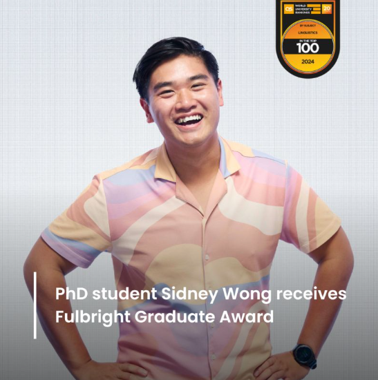
We are proud to announce that Geospatial Research Institute PhD Candidate and GRI scholarship recipient, Sidney Wong has been awarded a Fulbright Science and Innovation Graduate Award. Sidney plans to research automatic hate speech detection on social media at the University of Illinois in the United States. Learn more about Sidney and his journey by […]
Faculty of Health and Deputy Director of Geohealth Laboratory, University of Canterbury Matt Hobbs to be Keynote Speaker at NZDA
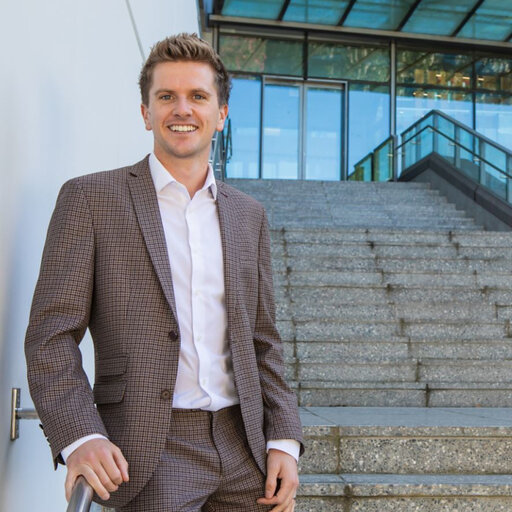
The New Zealand Dental Association will have its annual conference on August 23rd and 24th, 2024 in Christchurch. It will feature UC Senior Lecturer (Above the Bar) in Public Health, Dr Matt Hobbs as a keynote speaker. Dr Hobbs’ talk will demonstrate how the GeoHealth Laboratory helped create the first national public drinking water dataset. […]
Sunil Tamang, a GRI scholarship recipient/PhD candidate is currently participating in the Himalaya Climate Data Field Lab 2024
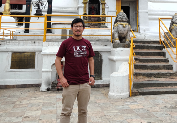
The Himalaya Climate Data Field Lab 2024 is an innovative workshop where over 100 researchers, artists, and activists come together in an unconventional setting to collaborate and shape the program as it progresses over the course of a month and beyond. His participation in the workshop is for three weeks. Sunil is specifically involved in […]
GRI PhD Candidate, David Pedley invited to present at upcoming ForestSAT conference
David Pedley will be presenting “Detecting and measuring urban tree canopy loss at the property scale with remote sensing data” at upcoming ForestSAT conference in Rotorua Sept 2024. For more details, visit: https://www.forestsat.com/
Virtual reality brings flood risk to life
The GRI Director, Professor Matthew Wilson, has been awarded funding from an EQC Biennial grant. The project called “virtually flooded” has been developed in partnership with leaders from Te Rūnanga o Ngāi Tahu (TRoNT) and has been featured in a recent TechWeek EQC article entitled, “Tech-savvy scientists are helping New Zealanders prepare for natural hazards.” This […]