
Sixth Spatial Data Science Symposium
We invite the Geospatial community to attend or present geospatial work at the upcoming Sixth Spatial Data Science Symposium. SDSS2025 is a distributed/online symposium. Participants are welcome to join one of the symposium hubs distributed around the world. Groups of participants will meet at these hubs to present and discuss with other participants both in […]
Thanks to everyone who came to chat with the Geospatial Research Institute Toi Hangarau team at the University of Canterbury booth at Adaptation Futures 2025!
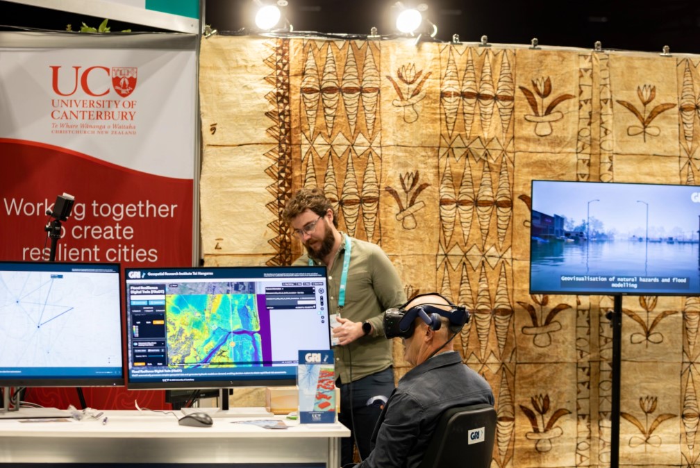
It was a busy and rewarding three days of demonstrations of our work in the adaptation space, including web apps for assessing how healthy communities are, a transport carbon emissions scenario planner, the Ōtakaro Digital Twin including predicted pollutant runoff from urban surfaces, and the Flood Resilience Digital Twin, enabling automated assessments of flood risk […]
Spatial insights for greener cities
In this seminar, we will explore the differences in health and health behaviours by neighbourhood, uncovering some of the underlying reasons for these variations in health. To better understand the range of ways in which differences in health emerge, Professor Malcolm Campbell will present a series of research projects from Te Taiwhenua o te Hauora | The GeoHealth Laboratory
GRI PhD candidate, David Pedley wins second prize in the Exhibit Your Thesis competition
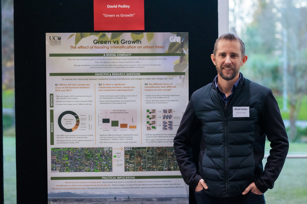
The Exhibit Your Thesis competition invited students to create posters that highlighted research in a clear and engaging way. David’s poster was entitled: “Green vs. Growth: The effect of housing intensification on urban trees.”
GRI Director, Prof Matthew Wilson presented in Brisbane last week at #IGARSS2025.
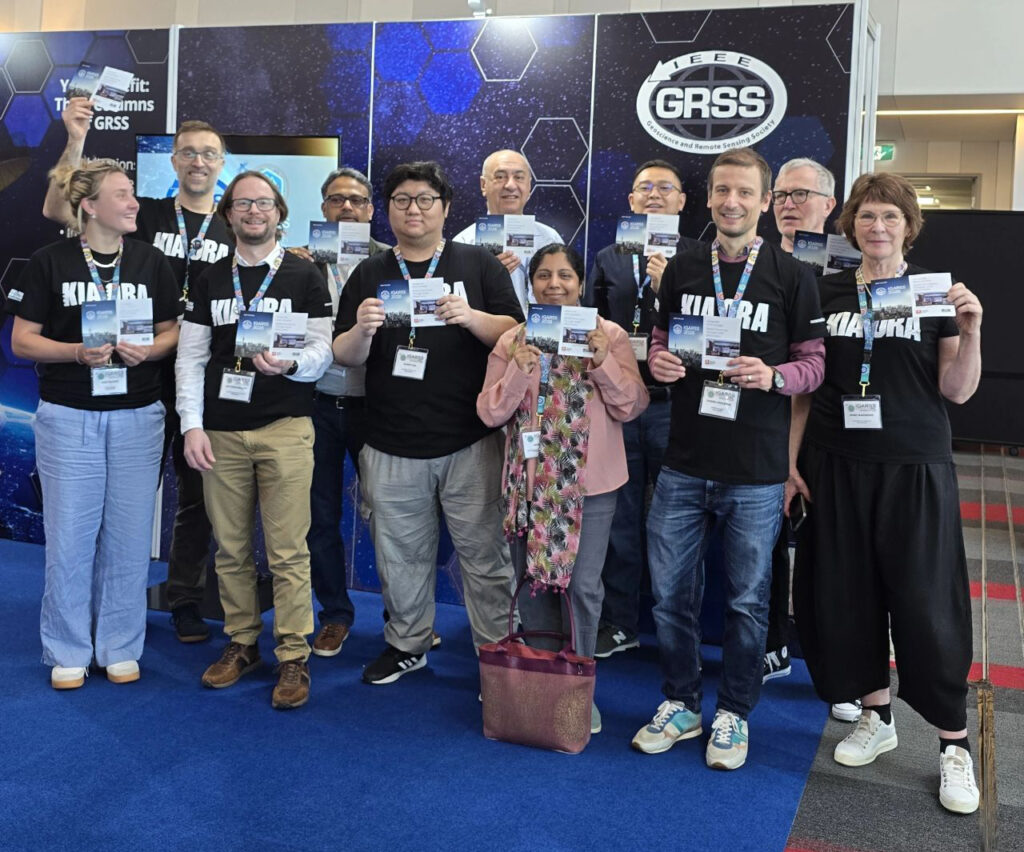
It’s great to see Prof Matthew Wilson making and solidifying connections at IGARSS2025, as well as presenting a talk called “Satellite sensing agricultural practices: Cal/Val campaign of satellite, airborne and ground GNSS-Reflectometry of soil moisture.” Matt commented, “It has been a packed week! It has been good to reconnect with colleagues and meet new ones, […]
Polarimetric and Interferometric SAR for 3D Applications
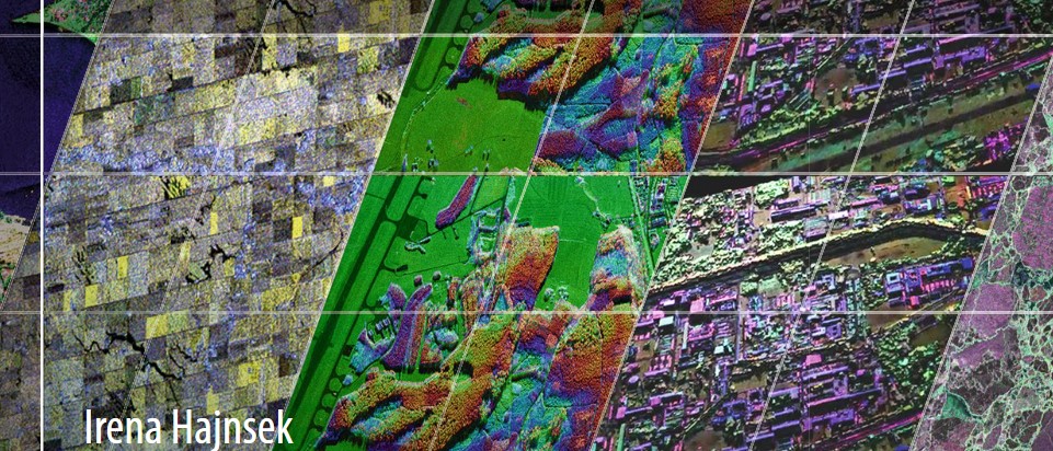
In this seminar, this presentation will focus on polarimetric and interferometric Synthetic Aperture Radar techniques for environmental parameter estimation within the forest, agriculture and snow/ice domain.
Presentation to the Digital Services Quarterly Showcase
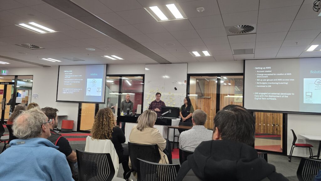
Yesterday, Luke Parkinson (GRI), Greg Preston (Building Innovation Partnership), and Jamie Hart (UC Digital Services) presented Ōtākaro Digital Twin work as an example of successful use of AWS (Amazon Web Services) in a collaborative project at UC’s Digital Services Quarterly Showcase.
VR sneak peek
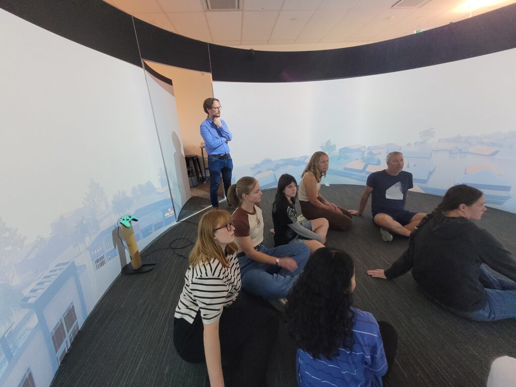
Today in Professor Matthew Wilson’s 4th year class, Coasts and Rivers: from Natural Processes to Urban Environments, students got a sneak peek at a project the GRI is doing for the National Hazards Commission. This work looks at how the presentation of virtual reality video impacts understanding of flood events vs using flood maps alone. […]
Visit to the Indian Institute of Technology, Delhi
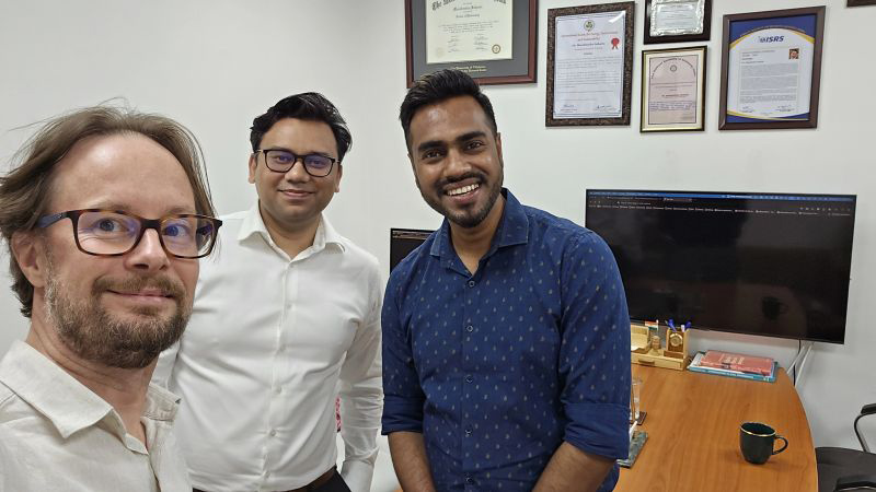
GRI Director, Matthew Wilson has just returned from a trip to the Indian Institute of Technology, Delhi. Prof Wilson said, “It was great to exchange ideas with colleagues in the Civil Engg Deptt IIT Delhi and see all the excellent work being done, especially by PhD students in water resources using novel machine learning methods […]
Visiting PhD Student, Paola Di Fluri
GRI has a visiting PhD student from University of Bologna in Italy. Paola Di Fluri has been working on a thesis that aims to develop innovative methodologies to understand the impact of industrial activities on surface water quality. Specifically, she is working on the development of simplified models for simulating the release of petrochemical products […]