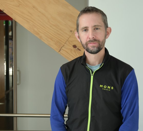
David Pedley will be presenting “Detecting and measuring urban tree canopy loss at the property scale with remote sensing data” at upcoming ForestSAT conference in Rotorua Sept 2024. For more details, visit: https://www.forestsat.com/
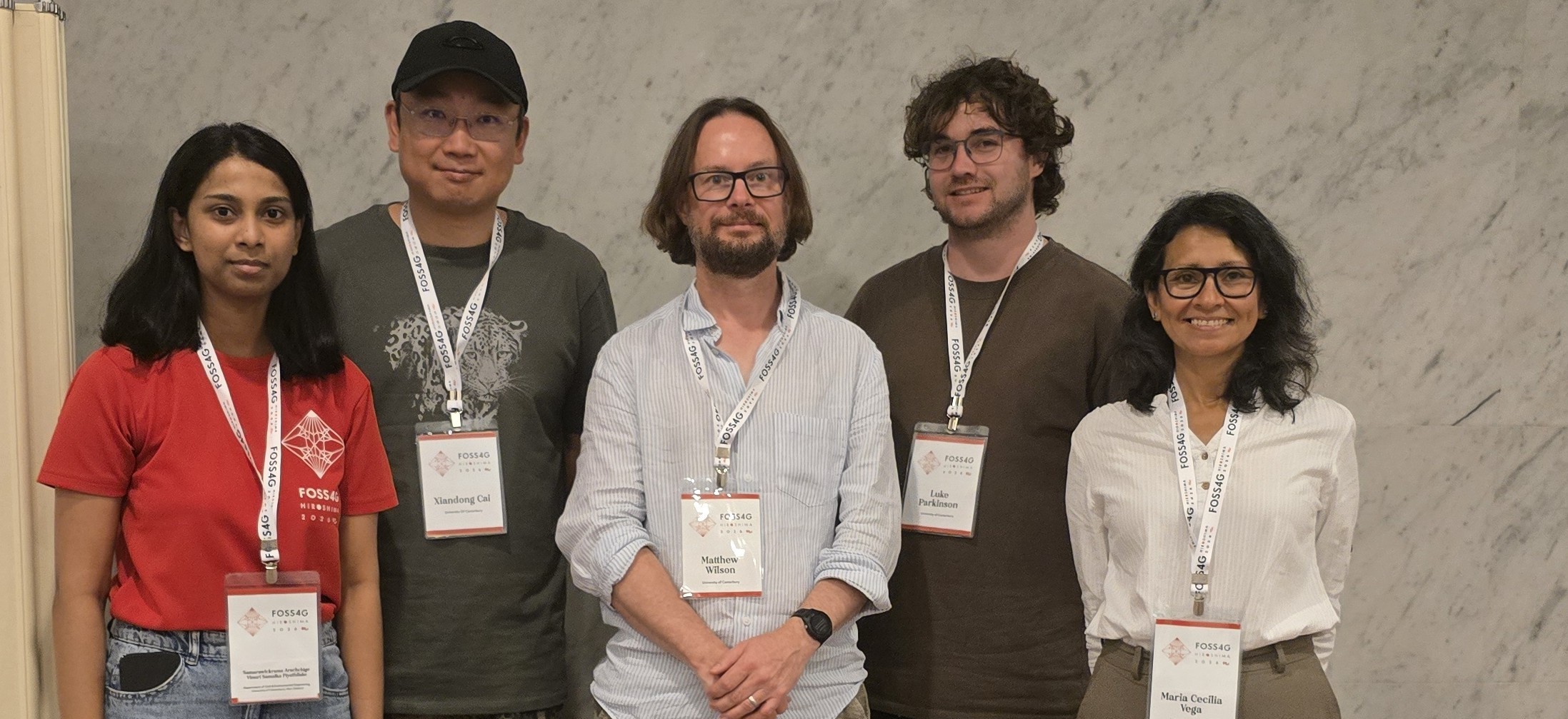
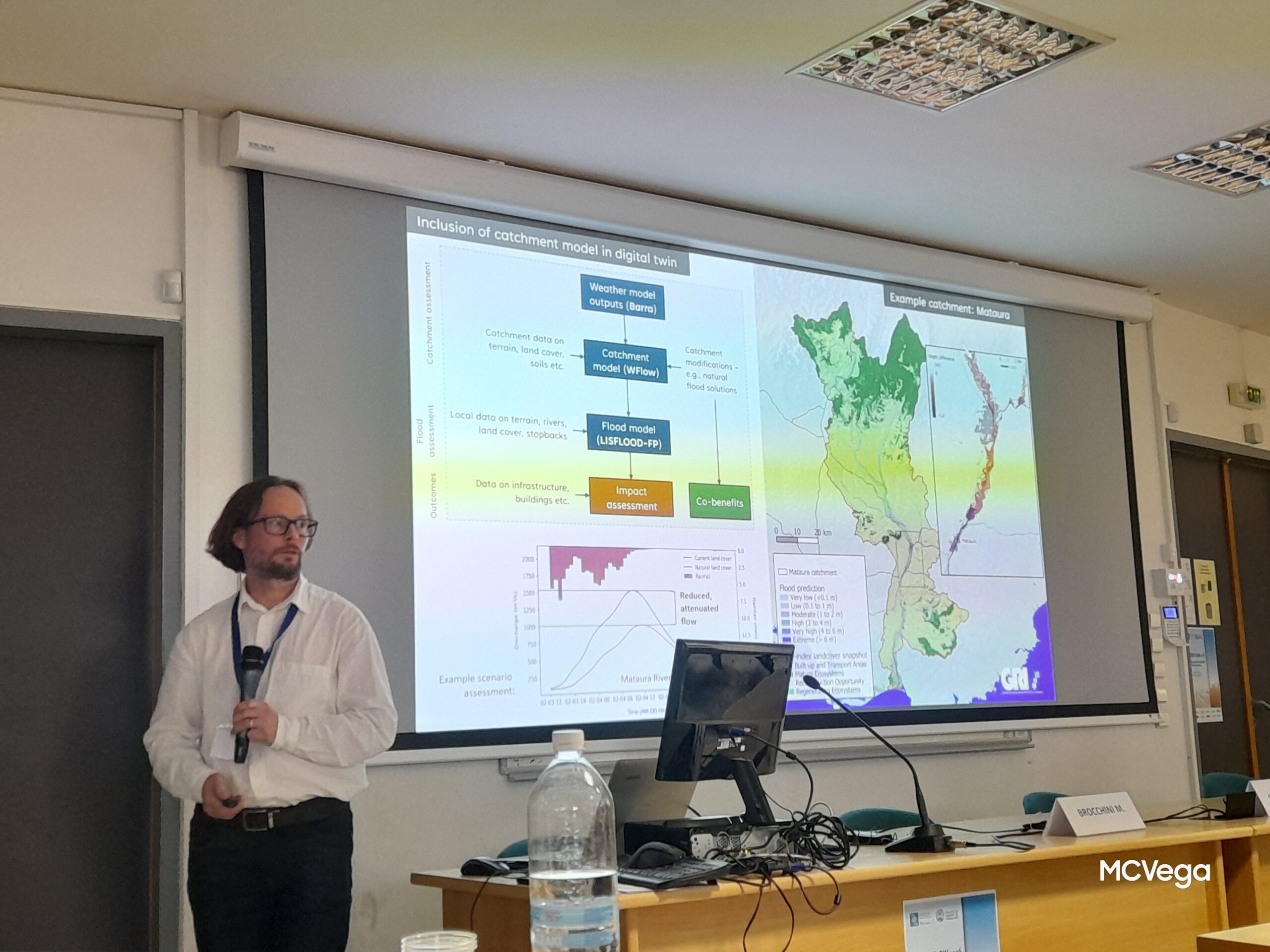
GRI in Japan, presenting at the FOSS4G Conference
It was a busy week in early September for the GRI Team who attended the FOSS4G Conference in Hiroshima, Japan.