
Spatial insights for greener cities
In this seminar, we will explore the differences in health and health behaviours by neighbourhood, uncovering some of the underlying reasons for these variations in health. To better understand the range of ways in which differences in health emerge, Professor Malcolm Campbell will present a series of research projects from Te Taiwhenua o te Hauora | The GeoHealth Laboratory
Geospatial science and health: An overview of the Te Taiwhenua o te Hauora | The GeoHealth Laboratory’s impactful research over the past 20 years and what future health challenges will be tackled next
In this seminar, we will explore the differences in health and health behaviours by neighbourhood, uncovering some of the underlying reasons for these variations in health. To better understand the range of ways in which differences in health emerge, Professor Malcolm Campbell will present a series of research projects from Te Taiwhenua o te Hauora | The GeoHealth Laboratory
Mapping the path to better health: Unleash the superpower of geohealth
What if maps could lead to better health and well-being for you and your community? Imagine using maps and data to improve our lives, helping us live longer and healthier lives. Join us on a journey as we show you how we make this happen!
Dr Lukas Marek was invited as an expert to Geospatial Summer School 2024
This event focused on geohealth and spatial analysis in health. It took place at the Department of Geoinformatics, Palacky University in Olomouc, Czech Republic between June 24 and 28 2024. Lukas talked about geospatial analyses in public health in New Zealand and also led a workshop on spatial accessibility.
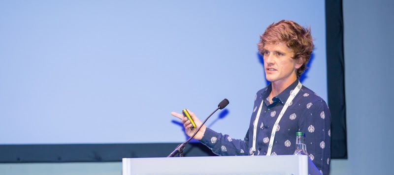
Dr Matthew Hobbs is lead author on a new research paper
A recent international study led by Dr Matthew Hobbs, Senior Lecturer and Co-Director of the GeoHealth Laboratory in the Geospatial Research Institute at Te Whare Wānanga o Waitaha | University of Canterbury (UC), sought to throw some light on these underlying factors. Joining him in the endeavour were UK researchers from the University of Essex, […]
The GRI Director, Prof Matthew Wilson awarded with one of four IIT-Delhi Fellowships
Te Whare Wānanga of Waitaha | University of Canterbury (UC) academics have been awarded two of four inaugural IIT-Delhi India-New Zealand Centre Fellowships. For more information go to: https://www.canterbury.ac.nz/news-and-events/news/2024/iit-delhi-fellowships-awarded-to-university-of-canterbury-resear Congratulations Matt!
Andrew Kindom – PhD student took the 1st place at the HRSC Emerging Researcher Awards 2023
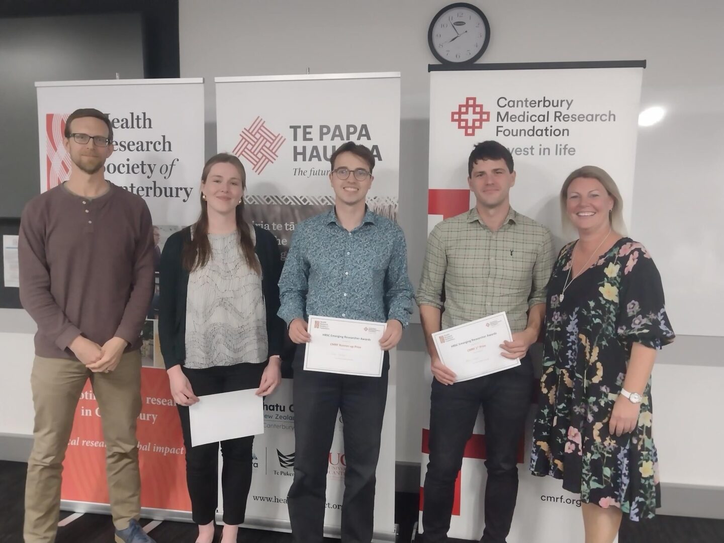
On Thursday 26th October, Te Papa Hauora hosted the Health Research Society of Canterbury’s 2023 Emerging Researcher Awards Evening. Andrew Kindom was awarded with the 1st prize, presenting: A geospatial analysis of Abdominal Aortic Aneurysms (AAA) ruptures to guide screening in NZ. Andrew is currently a PhD student at the University of Canterbury – Faculty […]
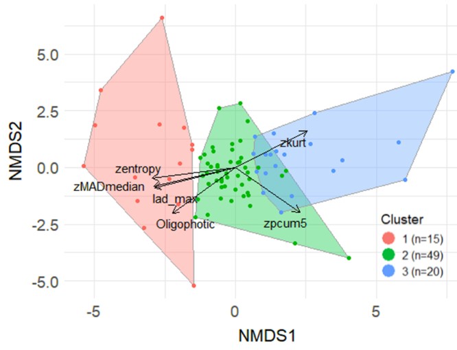
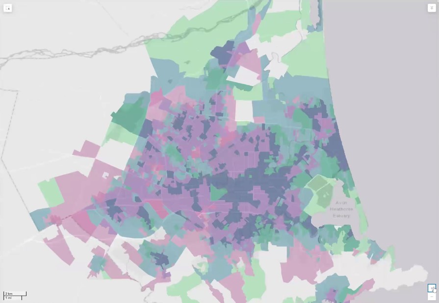
Using nationwide geospatial data to build a comprehensive understanding of public water supply, quality and inequity in New Zealand
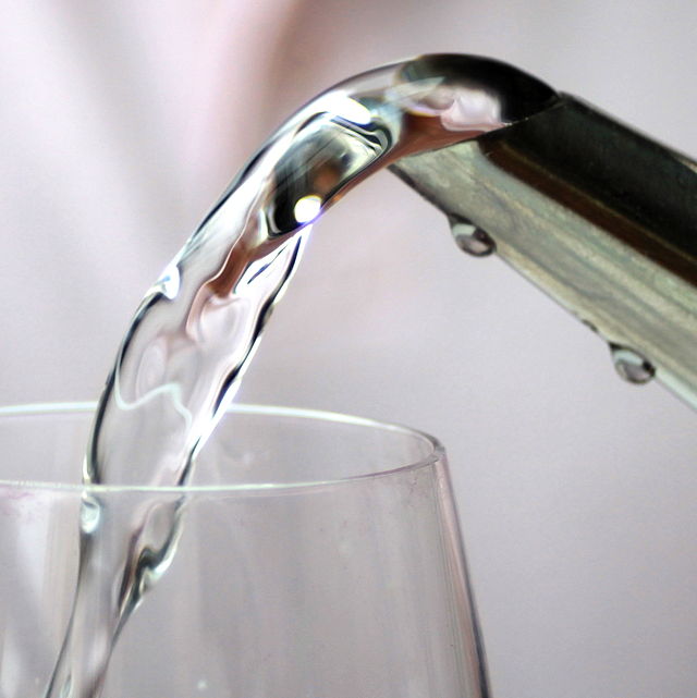
Reliable supply of safe drinking water is vital for human health. Despite this, there is no consistent nationwide spatial dataset of water distribution zones (WDZ) for Aotearoa New Zealand (A-NZ). In this talk, we will outline the development of a nationwide geospatial dataset of WDZ using data compiled from the 67 district and city councils in A-NZ. We will also outline several early use cases for the WDZ dataset.
Senior Lecturer and research fellow at the GeoHealth Laboratory Dr Matthew Hobbs gives an Author Q&A Research Insight by the British Dental Journal
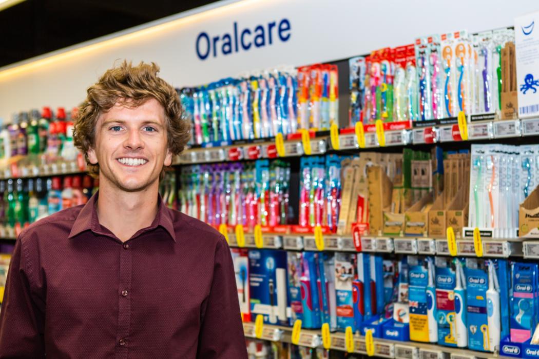
The article, Investigating the prevalence of non-fluoride toothpaste use in adults and children using nationally representative data from New Zealand: a cross-sectional study, of which Dr Hobbs is the first author, has already been highlighted in the local media and oral health research sector. The full Q&A of Dr Hobbs by the BDJ can […]
Senior Lecturer and research fellow at the GeoHealth Laboratory Dr Matthew Hobbs makes the news talking about his research in the prevalence of non-fluoride toothpaste use in New Zealand
See Dr Hobbs interview at Breakfast morning news show here: https://www.facebook.com/337418942718/posts/10157902159217719/?vh=e&d=n You can also access his related research publication at: https://www.nature.com/articles/s41415-020-1304-5