GRI Director, Matt Wilson presents at IGARSS Greece
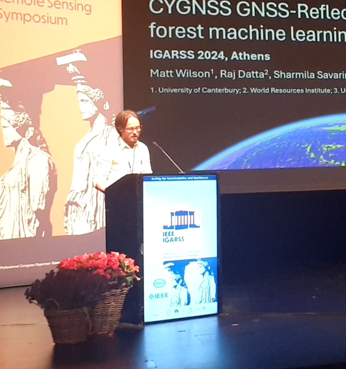
Matt Wilson presented on July 10, 2024 at the 44th annual International Geoscience and Remote Sensing Symposium in Athens, Greece. His talk was titled: “Prediction of soil moisture from near-global CYGNSS GNSS-Reflectometry using a random forest machine learning model”.
Dr Lukas Marek was invited as an expert to Geospatial Summer School 2024

This event focused on geohealth and spatial analysis in health. It took place at the Department of Geoinformatics, Palacky University in Olomouc, Czech Republic between June 24 and 28 2024. Lukas talked about geospatial analyses in public health in New Zealand and also led a workshop on spatial accessibility.
MIGARS 2024
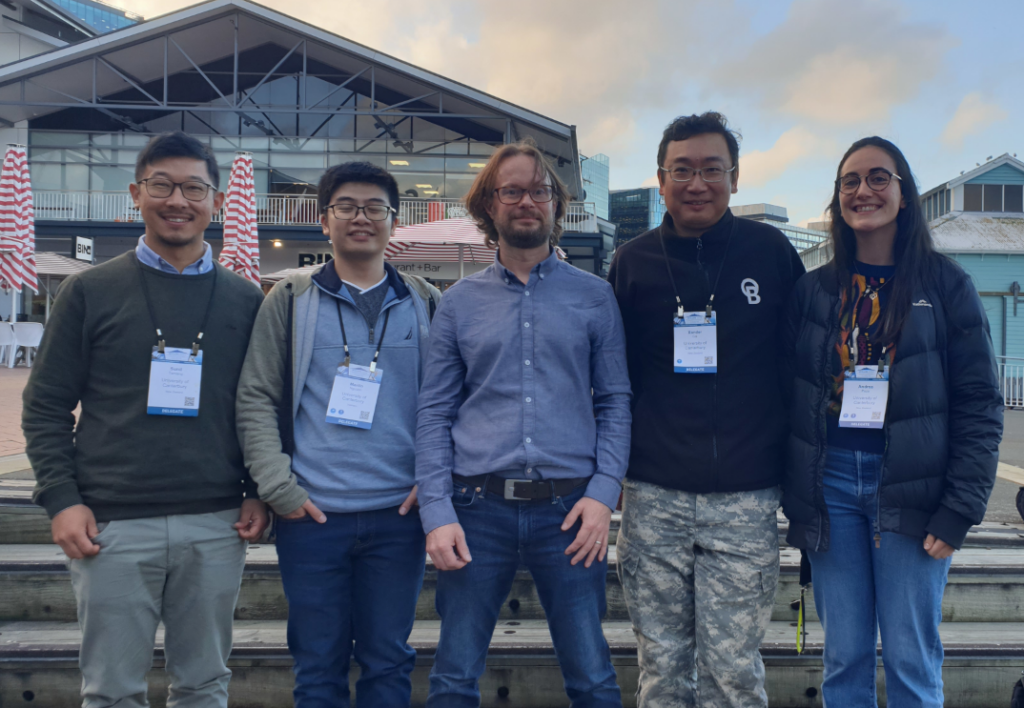
The GRI was well represented at the MIGARS conference (International Conference on Machine Intelligence for Geoanalytics and Remote Sensing ) in Wellington this week. Congrats on all the posters and talks.
PhD Student Martin Nguyen Wins 2nd Prize for Best Poster at Waterways Conference
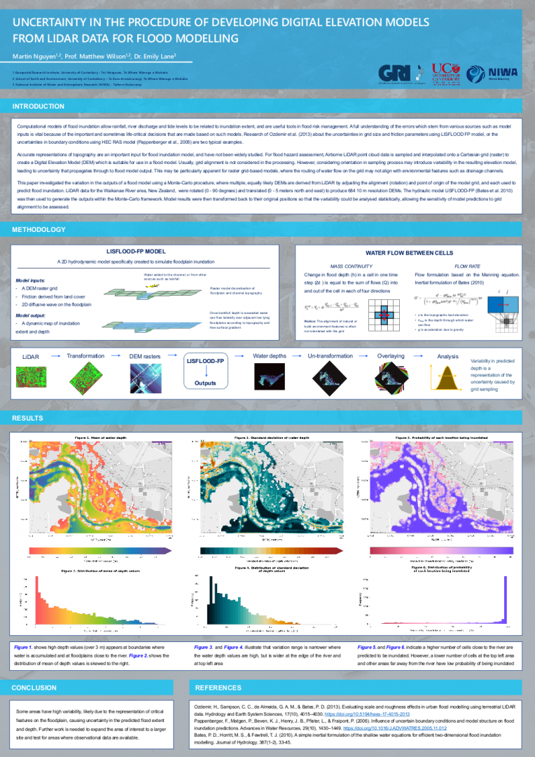
Martin Nguyen presented a poster at the Waterways annual postgraduate conference, titled “Uncertainty in the procedure of developing Digital Elevation Models from LiDAR data for flood modelling”. He won second-place in the competition for the best poster. The print-quality poster can be found here (2Mb)
BES 2018

GRI researcher presents at the 2018 meeting of the British Ecological Society Dr. Audrey Lustig, a postdoctoral researcher in the GRI Toi Hangarau working on spatial modelling of species distribution, presented her paper on regional pest management to the British Ecological Society meeting, held in Birmingham from 16-19 December 2018. Audrey said of her experience: […]
UN-WGIC 2018
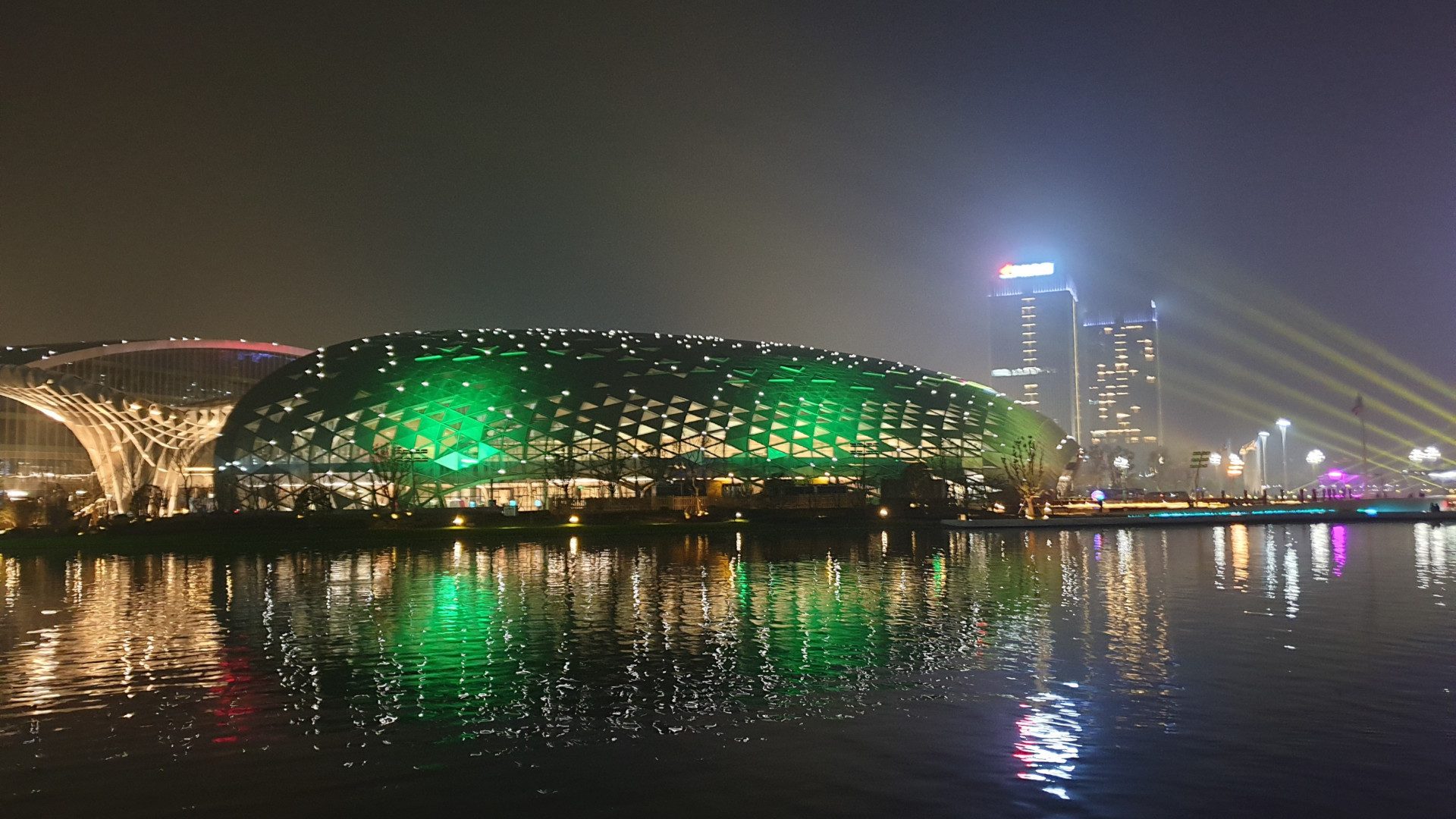
The United Nations World Geospatial Information Congress has wrapped up in in Deqing, Zheijang Province, China The GRI Toi Hangarau was represented at the UN-WGIC (19-21 November 2018) by its Director, Prof. Matthew Wilson, who said: “I feel honoured to have attended the UN-WGIC, along with around 1,200 other geospatial professionals representing 83 countries from […]
ISCRAM Asia Pacific 2018 in Wellington on 5-7 November

Upcoming disaster information systems conference in Wellington The purpose of ISCRAM Asia Pacific 2018 is to exchange research into and experiences of information systems use in emergency management, particularly focussed around applications of information systems in the context of the four priorities of the Sendai Framework (2015-2030) for disaster risk reduction, namely: 1. understanding disaster […]
NZ Geospatial Research Conference 2017

NZ Geospatial Research Conference 2107 The NZ Geospatial Research Conference 2107 took place in Christchurch, at the University of Canterbury, on the 4th-5th December 2017. The programme included many aspects of geospatial research and practice – including theory, technology, application, and innovation. The conference will include a range of academic sessions, plenary lectures and social […]
