
Geospatial Research in Industry
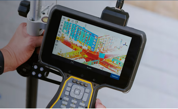
In this seminar, Peter Shaw will be giving an overview of areas of interest at Trimble, particularly, their ongoing pursuit of increased accuracy, reliability, and efficiency in positioning techniques (including mitigation against space weather/ionospheric effects) and the application of AI to Geospatial problems.
Earth Science in an Age of Change
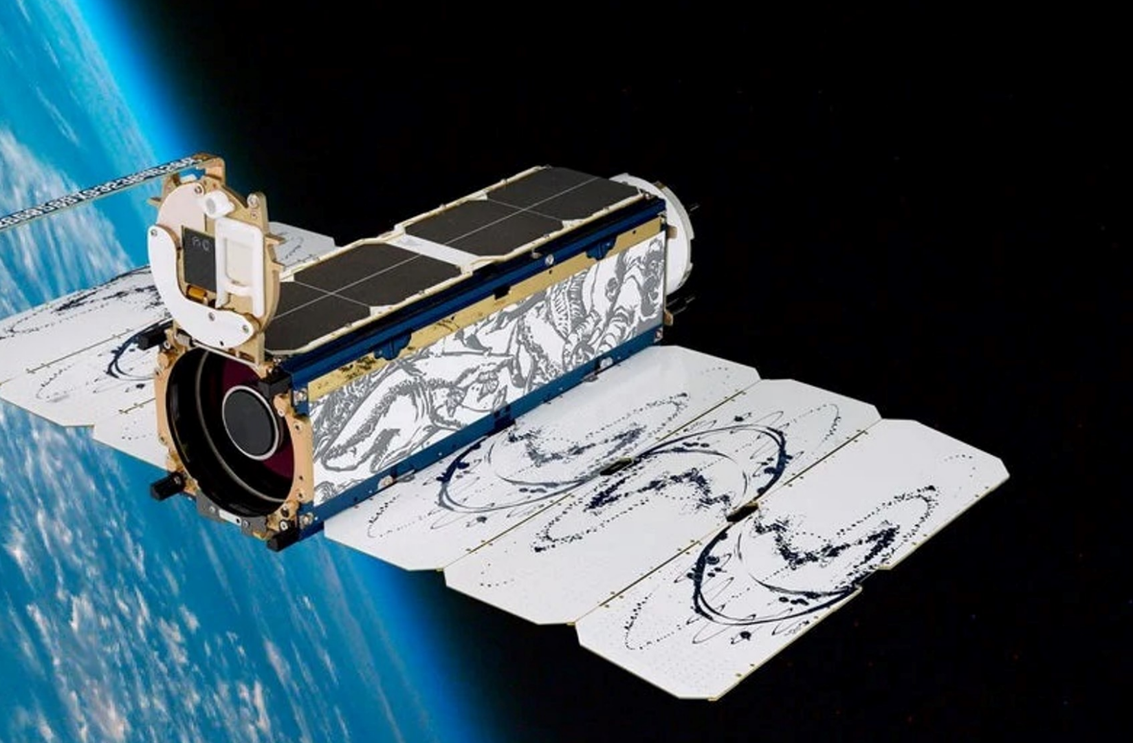
Planet (a public benefit corporation) is imaging the land surface of the Earth on a near-daily basis, with multispectral sensors at ~3.7m per pixel we operate the largest fleet of earth observation satellites in history with a constellation of 19 high-resolution SkySats, capable of 0.5m multispectral imaging. e change, terrestrial an aquatic ecosystems, wildlife biology and agriculture.
Video recording available at:
https://www.youtube.com/watch?v=Dv37CHZct2o&list=PLJymSfBIuEWKYLJbi6LzyiRXKtAQBbcH3&index=7&t=15s
Penguins from Space: Using satellite imagery to monitor emperor penguins in their struggle against a warming Antarctica.
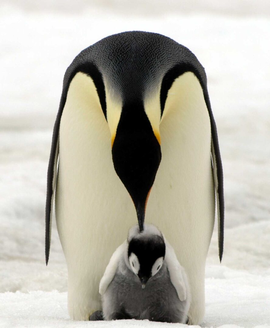
In Antarctica emperor penguins are the species most at risk from climate change. Up until a decade ago our understanding of the species was hindered by the logistical challenges of studying a species which lives in one of the harshest places on earth. But since then advances in our use of satellite imagery has enabled us to find, count and monitor the birds, transforming it from one of the least studied species in Antarctica to one of the best.
Using nationwide geospatial data to build a comprehensive understanding of public water supply, quality and inequity in New Zealand

Reliable supply of safe drinking water is vital for human health. Despite this, there is no consistent nationwide spatial dataset of water distribution zones (WDZ) for Aotearoa New Zealand (A-NZ). In this talk, we will outline the development of a nationwide geospatial dataset of WDZ using data compiled from the 67 district and city councils in A-NZ. We will also outline several early use cases for the WDZ dataset.
Call for papers for the 2023 regular NZPR Issue and the special issue on geo-spatial techniques in population research.
The New Zealand Population Review is a peer-reviewed open-access journal of population and demography with a focus on New Zealand and the Pacific region. It has been published since the 1970’s and is the official journal of the Population Association of New Zealand (PANZ). NZPR welcomes submissions of empirical research, research notes, descriptive findings, reviews […]
Geospatial Research Institute Toi Hangarau PhD Scholarship 2023
We are now accepting applications for the 2023 Geospatial Research Institute (GRI) scholarship. Closing date for applications: 30 June 2023, 17:00pm NZ Time Detailed information about how to apply can be downloaded at: https://geospatial.ac.nz/jobs-and-scholarships/
Video: Ōtautahi Christchurch: the water city?
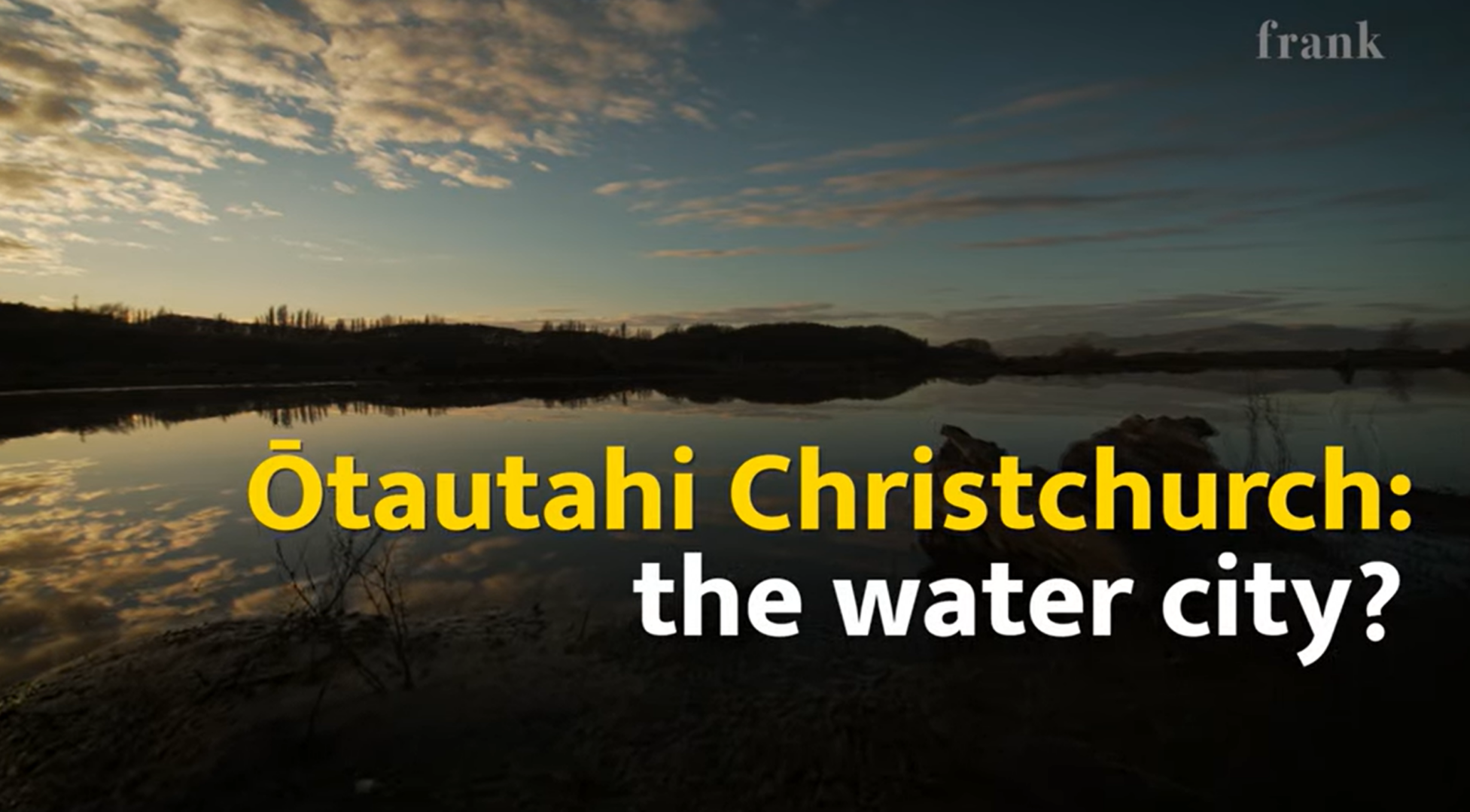
Watch: Ōtautahi Christchurch: the water city? A short documentary starring Prof Matthew Wilson (GRI-UC) and Dr John Reid (Ngāi Tahu Research Centre-UC) talking about Christchurch, its geography, history of floods and what to expect under climate change. Watch on RNZ now. https://www.rnz.co.nz/news/national/488581/watch-otautahi-christchurch-the-water-city
Fourth Spatial Data Science Symposium
Dear Spatial Data Science Community, SDSS 2023 is a FREE distributed/online symposium that brings together researchers from academia, industry, non-profits, and government from all over the world. NZ participants are welcome to join the UC symposium hub. Groups of participants will meet at the symposium hubs distributed around the world to present and discuss […]
UC Master’s mapping reveals geographical cavities

After several years as an oral health therapist in Ashburton, Joanne Lee, who graduates from UC this week with a Master’s in Health Science, was inspired to complete her postgraduate studies after noticing inequalities in access to dental care. Click here to read more about Joanne’s great geospatial work.
Sensing Water: The Rongowai airborne remote sensing mission for GNSS-Reflectometry across New Zealand
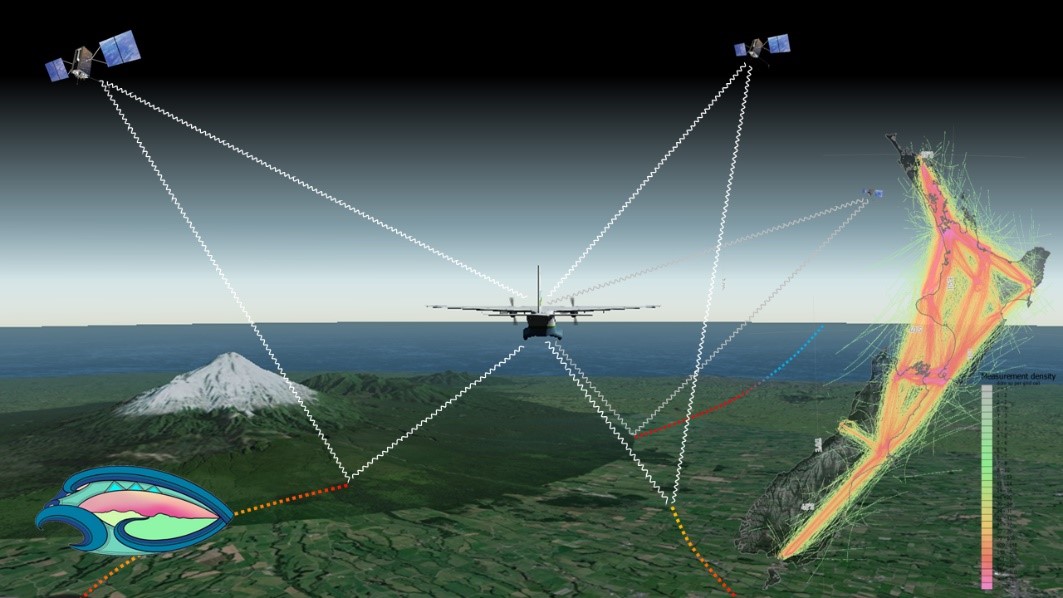
The Global Navigation Satellite System (GNSS), emit radio signals in the L-band to enable precise positioning on the Earth’s surface. GNSS has become ubiquitous in our everyday lives, underpinning location-based technologies from traffic routing to precision agriculture. These GNSS “signals of opportunity” have been used in novel space borne missions such as CyGNSS (Cyclone GNSS), which is primarily designed to observe the ocean surface under tropical cyclone systems. However, signals reflected from the land surface have been found to sensitive to soil moisture and surface water, providing a valuable additional source of data.