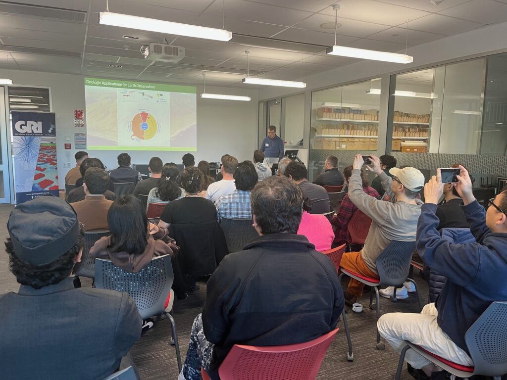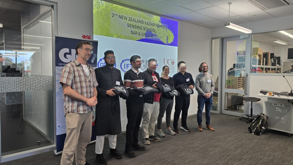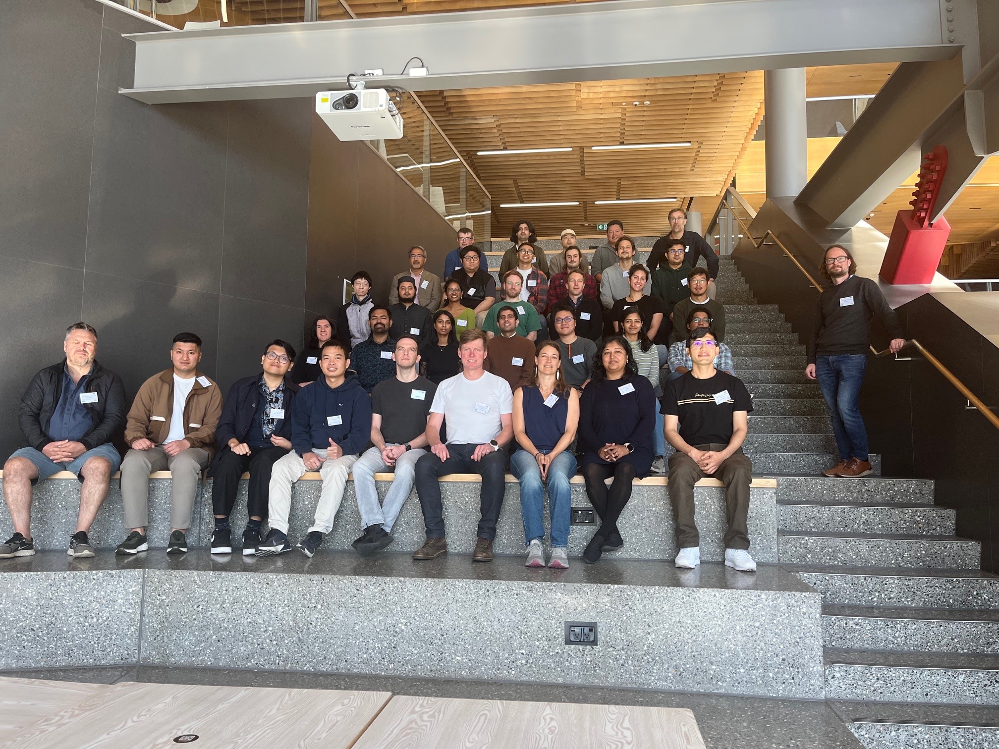
We had a fantastic turnout to the Second IEEE GRSS NZ Radar Remote Sensing School 2026 (NZRRSS). The event was held here at the University of Canterbury (UoC) from 15 to 17 April 2026, organised by the Geoscience and Remote Sensing Society (GRSS) New Zealand Chapter and the Geospatial Research Institute (GRI), supported by the Institute of Electric and Electronic Engineers (IEEE), USA.
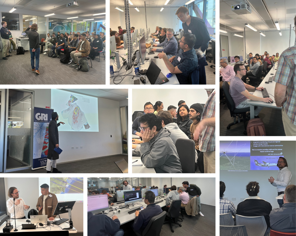
This year’s NZRRSS was an intensive short course focused on Synthetic Aperture Radar (SAR) and GNSS-Reflectometry (GNSS-R) for Earth science applications in New Zealand, Australia, and the Pacific Islands. The 3-day event included lectures, practical sessions, and collaborative group activities. We have over 30 participants, including 14 scholarship students sponsored by the IEEE GRSS School Program. Attendants came from a diverse number of universities, including those in NZ, Australia, and the Pacific, such as the University of Auckland, Victoria University in Wellington, Lincoln University, UoC, Charles Sturt University, Karlsruhe Institute of Technology, Monash University, University of Technology Sydney (UTS), the University of Queensland, and the University of the South Pacific in Fiji.
The NZRRSS had the honour to bring together eight specialists in SAR and GNSS-R to give lectures and coordinate the project group developments, covering the full radar remote sensing pipeline from fundamentals to frontier applications. Our deepest thanks to Prof. Marwan Younis (Visiting Scholar, DLR, and Prof. at Karlsruhe Institute of Technology); Francescopaolo Sica (University of the Bundeswehr Munich); Prof. Matt Wilson (UoC and Director of Geospatial Research Institute); Dr. Tom Dowling (Senior Lecturer, University of Auckland); Dr. Jack McGrath (Postdoctoral Fellow and Lecturer, UoC); Brian Pollard (CTO, Restore Lab); Dr. Rodrigo Gomez Fell (Postdoctoral Fellow, UoC); and Rifat Afroz (Postdoctoral Fellow and Assistant Lecturer, UoC).