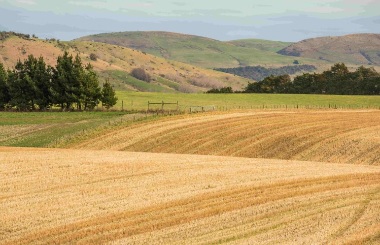
Researchers from UC’s Toi Hangarau | Geospatial Research Institute, led by Professor Matthew Wilson and Xander Cai, are developing a cutting-edge AI-driven system to help farmers better understand and manage one of their most critical resources: water.
The new ANZ Soil Moisture Data Assimilation System (ANZ-SMDAS) combines ground sensors, satellite signals, and advanced modelling to deliver highly accurate, field-scale soil moisture insights multiple times a day. By analysing reflected GPS signals with AI, the system bridges the gap between what’s happening in the soil and the information farmers can actually use to make decisions.
The project is expanding into a larger, multi-year collaboration, building on earlier MBIE-funded research to develop a fully operational platform and make soil moisture data publicly accessible.
To read the full article, visit: AI-powered system set to transform water use for farmers | UC
GRI Director, Matthew Wilson was also featured on a RNZ Midday rural news for 21 May 2026. Listen at 1 minute, 50 seconds https://www.rnz.co.nz/national/programmes/ruralnews