
Geospatial Research Seminar Series (GRISS) – 25 June 2021
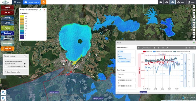
Takiwā is an award winning data management and analytics platform that allows end-users to upload, analyse and present multiple types of data and information within a spatial context in order to solve complex problems. A critical design feature of Takiwā has been the ability to draw together cultural and maatauranga Māori data and information alongside Western scientific data while managing cultural and commercial sensitivities of any datasets. Takiwā CEO Mike Taitoko will introduce the Takiwā platform and illustrate how it can help to empower…
Geospatial Research Seminar Series (GRISS) – 30 April 2021
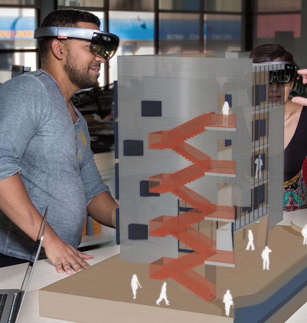
Much has been written about the need to unlock the power of data and digital methods to improve the performance of infrastructure and productivity of the building industry. Recognising the potential benefits of these methods, the New Zealand Government and building industry are co-investing in an eight-year (2018-2026) research programme, under the banner of the Building Innovation Partnership (BIP), to accelerate digitalisation of the infrastructure sector. This industry-led programme has to date focused on two applications of data and digital methods.