
GEOSPATIAL RESEARCH SEMINAR SERIES (GRISS) – 27 September 2019

Regional Councils collect a lot of environmental data. We’re good at it and it is hugely valuable to our policy decisions and general environmental management. A recent valuation of the Environment Canterbury hydrological database was $4.2 billion, based on a mixture of the collection costs and the value of decisions made with those data. With all that data comes the challenge of data management and more importantly; how to tell a coherent story of “what’s going on”. This seminar will set out the types of data collected by Environment Canterbury and discuss possibilities for telling environmental stories in a better way.
GEOSPATIAL RESEARCH SEMINAR SERIES (GRISS) – 26 July 2019
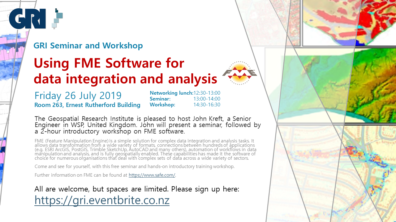
FME (Feature Manipulation Engine) is a simple solution for complex data integration and analysis tasks. It allows data transformation from a wide variety of formats, connections between hundreds of applications (e.g. ESRI ArcGIS, PostGIS, Trimble SketchUp, AutoCAD and many others), automation of workflows in data manipulation and analysis, and is fully geospatially enabled. These capabilities has made it the software of choice for numerous organisations that deal with complex sets of data across a wide variety of sectors.
GEOSPATIAL RESEARCH SEMINAR SERIES (GRISS) – 31 May 2019
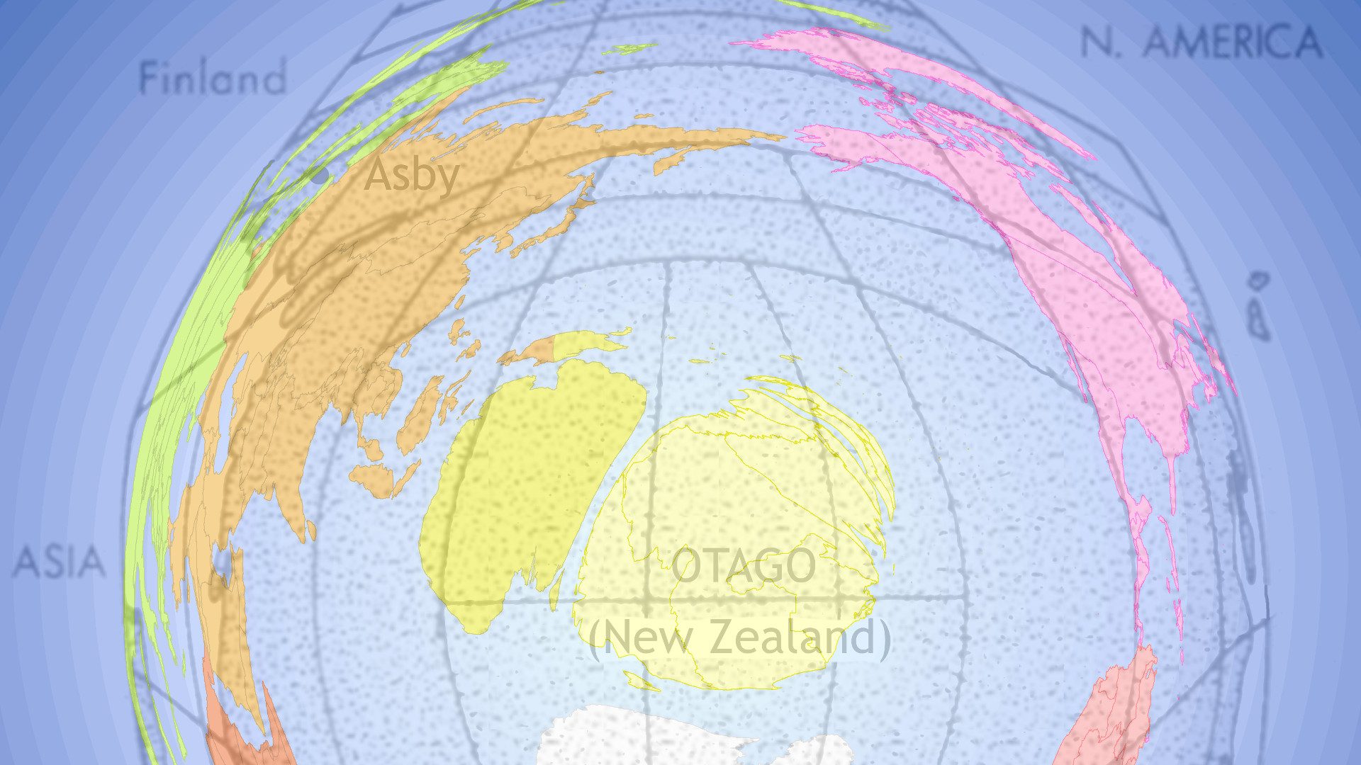
The spatial data that underpin the maps we see are often compromised by the limited space for them in the map. For example, a large amount of features have to be mapped in cities but there is comparatively less area to contain them relative to the feature-poor rural areas. We usually apply generalisation processes to select, emphasise and simplify representations of data in the map so that it “fits”. We introduce an alternative data-driven approach to allocating map space, where cartogram techniques expand or contract space to accommodate more or less data.