Mātauranga Maori Framework for Surveillance (MMFS) for Plant Pathogens
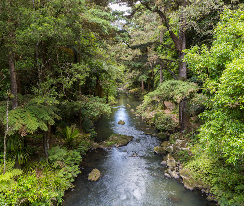
In the past, there has been a disconnect and little collaboration between the people and organizations doing work on plant pathogens that cause myrtle rust and kauri dieback. This has stymied progress in the management of plant pathogens and diseases, and is still unclear where they occur or not. Here we introduce the principles and methodologies of the Mātauranga Māori Framework for surveillance (MMFS) for plant pathogens.
Video recording available at:
https://www.youtube.com/watch?v=3Czj2fB_1iU&list=PLJymSfBIuEWKYLJbi6LzyiRXKtAQBbcH3&index=4
Te Kete Kōrero o Ōhinemutu; Geospatial tool for community & Māori-led planning
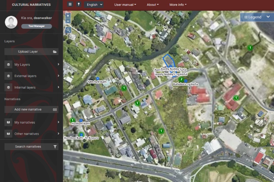
Te Kete Kōrero o Ōhinemutu is a Mātauranga Māori map-based tool co-created by the community of Ōhinemutu and the Geospatial Research Institute Toi Hangarau. Ōhinemutu is a village with deep connection to Ngāti Whakaue. Built on the shores of Lake Rotorua, it is famed for its geothermal features and Te Papa-i-Ouru marae. Te Kete Kōrero o Ōhinemutu has been built to hold and share historical narratives of Ōhinemutu as well as current community initiatives. The range of narratives includes traditional, historic, scientific and lived experiences.
Geospatial Research Seminar Series (GRISS) – 1 June 2022

The Geospatial Research Institute is pleased to host Dr Barrett Ens.
Dr Barrett Ens is currently a member of the Data Visualisation and Immersive Analytics research group at Monash University. He received a Bachelor of Music Degree in Music Theory from the University of Calgary in 2005, and a Bachelor of Computer Science from the University of Manitoba in 2007. He later joined the Human-Computer Interaction Lab at the University of Manitoba for his PhD project on ‘Spatial Analytic Interfaces’.
PhD Student Martin Nguyen Wins 2nd Prize for Best Poster at Waterways Conference
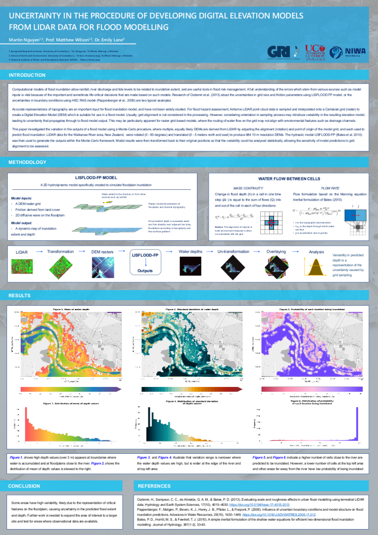
Martin Nguyen presented a poster at the Waterways annual postgraduate conference, titled “Uncertainty in the procedure of developing Digital Elevation Models from LiDAR data for flood modelling”. He won second-place in the competition for the best poster. The print-quality poster can be found here (2Mb)
Geospatial Research Seminar Series (GRISS) – 26 November 2021

Speaker: Dr. Philipp Sueltrop, CTO Kea Aerospace
The Geospatial Research Institute is pleased to host Dr. Philipp Sueltrop.
Philipp is the Chief Technology Officer of the Christchurch-based company Kea Aerospace. Besides leading the technical development team of the unmanned solar-powered aircraft Kea Atmos, he considers himself as a technology explorer combining his passion for aerospace engineering that can provide the means for advantageous scientific, civil and commercial contributions.
New PhD student Andrea Pozo Estívariz joins the GRI
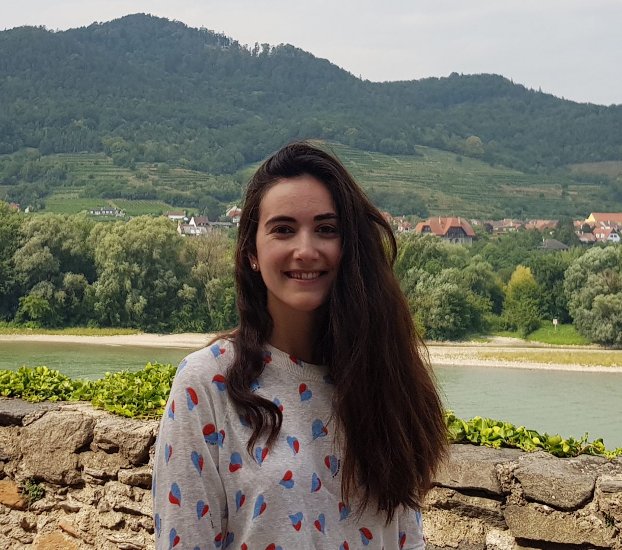
We are pleased to welcome Andrea Pozo Estívariz as a PhD student within the Geospatial Research Institute. Andrea summarises her PhD below: “I am a civil engineer from Spain. Since my Master’s I have been working in the GeoOcean research group (University of Cantabria), having the opportunity to deep into different research topics such […]
Geospatial Research Seminar Series (GRISS) – 29 October 2021 – Recorded

Since 2004 Professor Richard Green has been lecturing in computer science at the University of Canterbury after running his own successful 50 staff software company in Sydney (sold to a multinational). With over 200 refereed publications, Richard heads the Computer Vision Research Lab with an emphasis on autonomous robot vision/deep learning (robots/drones/underwater robots) and analysing human movement.
New PhD student Sidney Wong joins the GRI

We are pleased to welcome Sidney Wong as a PhD student within the Geospatial Research Institute. Sidney is excited to be offered the opportunity through the Geospatial Research Institute Toi Hangarau PhD Scholarship to model the social and linguistic characteristics of local populations using geo-referenced language data. He was attracted by the transdisciplinary nature of […]
Geospatial Research Seminar Series (GRISS) – 24 September 2021 – Recorded

Keri is a passionate Digital Technologist, with a strong background in Geospatial technologies, and over 20 years of international experience in designing enterprise collaboration platforms. Keri is the New Zealand Digital Practice Leader and is focused on identifying digital possibilities and creating opportunities to embed new technologies into our organisational way of working. Keri represents Aurecon on the ANZ Smart Cities Council and on the ANZ Digital Twin Taskforce.
Geospatial Research Seminar Series (GRISS) – 30 July 2021
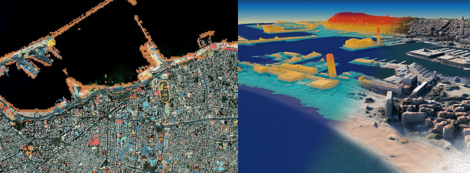
In this time of rapid global change, we need new ways to identify, monitor and understand the impact of change on environments and human dynamics such as economy, health and sociopolitical stability. Maxar Earth Intelligence capabilities help customers map, detect, address and predict change at unprecedented speed and scale. Fueled largely by Maxar’s own constellation of high-resolution imaging satellites and combining multi-source data and applied artificial intelligence, machine learning and rich domain knowledge is able to deliver insight as a service.
