
Research team
Shin-Chan Han (University of Newcastle)
Matthew Wilson (University of Canterbury)
Xander Cai (University of Canterbury)
Clevon Ash (University of Canterbury)
Martin Nguyen (University of Canterbury)
Funding
Australia New Zealand Collaborative Space Program
Project summary
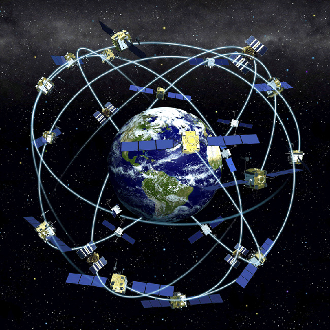
The aim of this project is to demonstrate integration of Global Navigational Satellite System (GNSS) remote sensing measurements of soil moisture from several platforms of satellites, aircraft and ground receivers. The study will obtain baseline information for exploiting remote sensing data to provide spatial and temporal variations of soil moisture at field scales through development of the soil moisture data assimilation system. In particular, the system’s outputs are aimed to be appropriate to local water resource management and decision making for agricultural practices and environmental applications. This Phase A activity will leverage established sites where in-situ soil moisture measurements have already been gathered in Australia and New Zealand, to verify GNSS land reflection measurements from NASA’s CyGNSS satellites, New Zealand’s Rongowai aircraft, and University of Newcastle’s ground GNSS remote sensing module. Extensive comparison among satellite and aircraft GNSS reflectometry measurements, ground GNSS reflection records, and in-situ probes for verifying soil moisture changes at field scales will be performed. This feasibility study will be the first of its kinds to put all GNSS remote sensing systems together to make satellite-airborne-ground co-located GNSS experiments for soil moisture retrieval. The field campaigns will enable the calibration and validation of GNSS-based remote sensing sensors for monitoring soil moisture under real-world conditions; and to ensure that the sensing systems are tested across a range of climates, soil types, and terrains to optimize the sensor performance for various agricultural and environmental use cases. The successful Phase A field calibration and validation (Cal/Val) of GNSS measurements will lead to the Phase B development of soil moisture data assimilation system (SMDAS). The SMDAS can be a game changer of integrating efficient GNSS-based remote sensing measurements with imaging radars and radiometers to retrieve soil moisture information adequate to farmers, practitioners, and governments, to save water for efficient and drought-resilient agricultural and farming practices.

