Research team
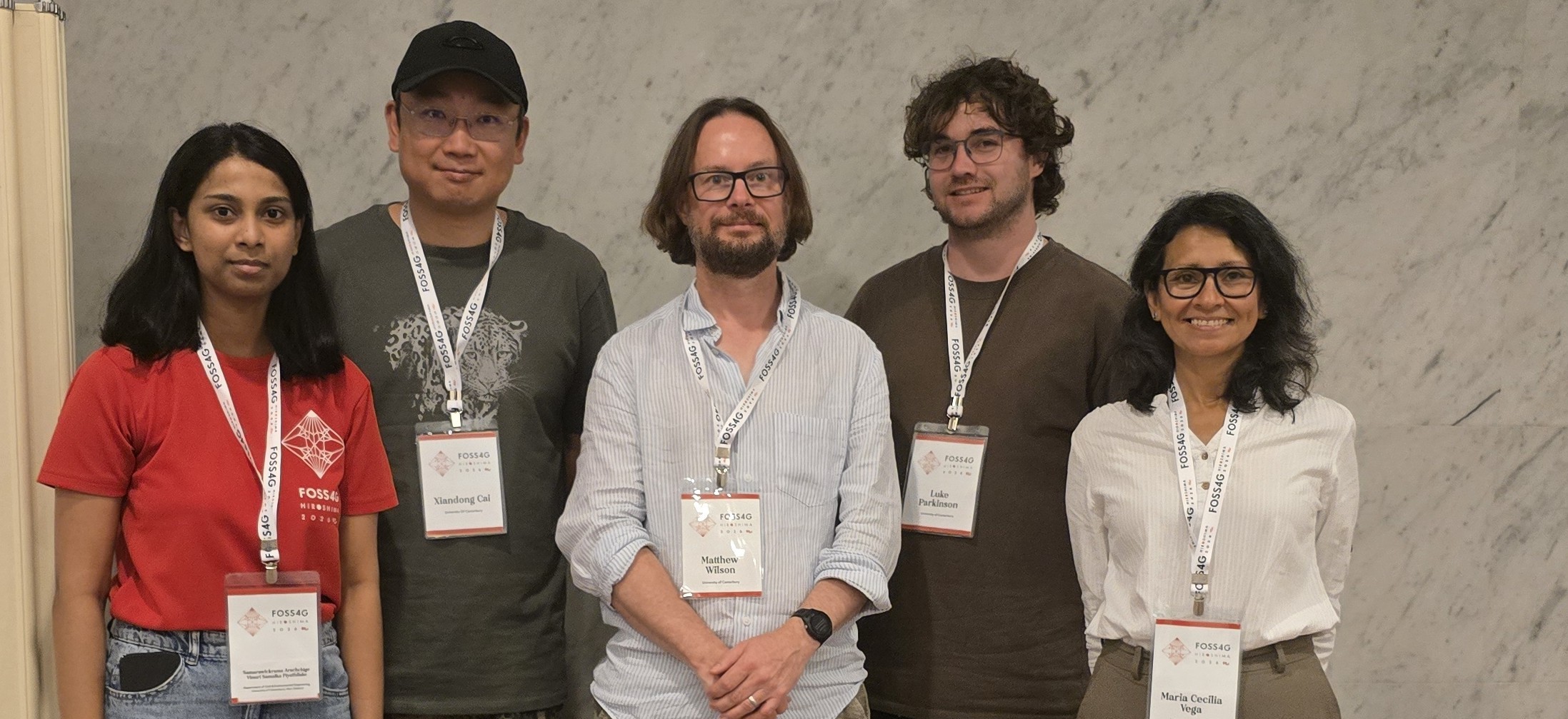
Camila CESAR (GRI – NTRC)
Matthew WILSON (GRI)
Maria VEGA-CORREDOR (GRI)
John REID (NTRC)
In Collaboration with
Sara MIKALOFF-FLETCHER (ESNZ)
Beata BUKOSA (ESNZ)
Daemon KENNETT (ESNZ)
Funding
MBIE
Duration
2025-2027
Project summary
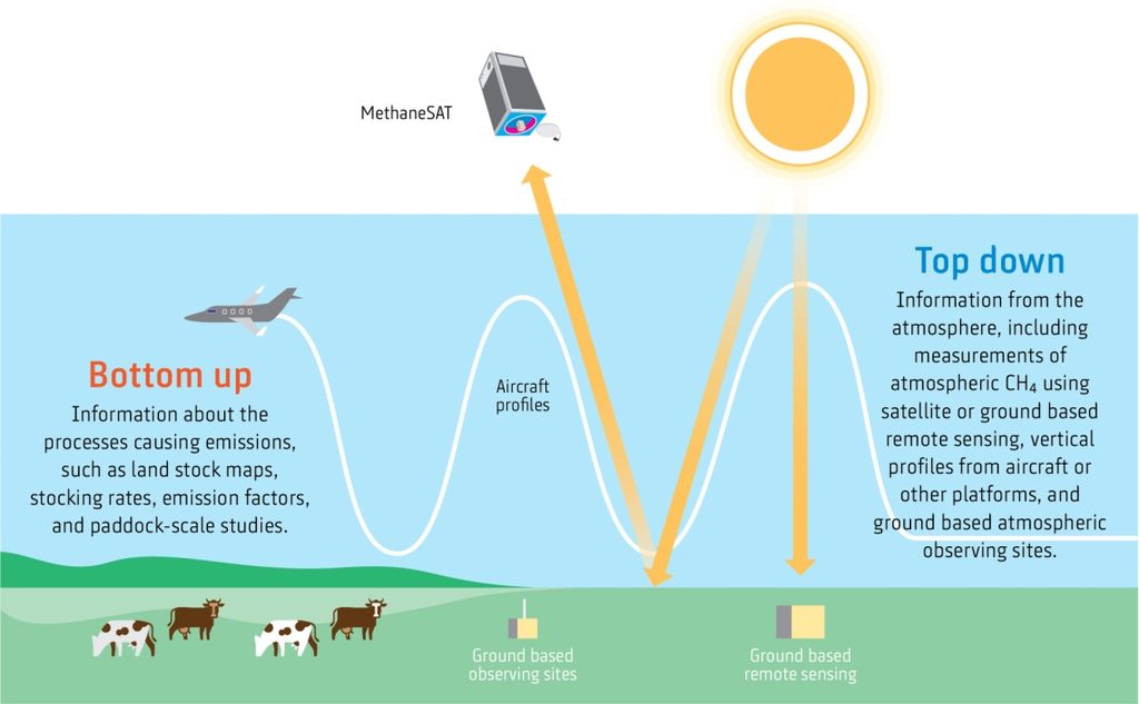
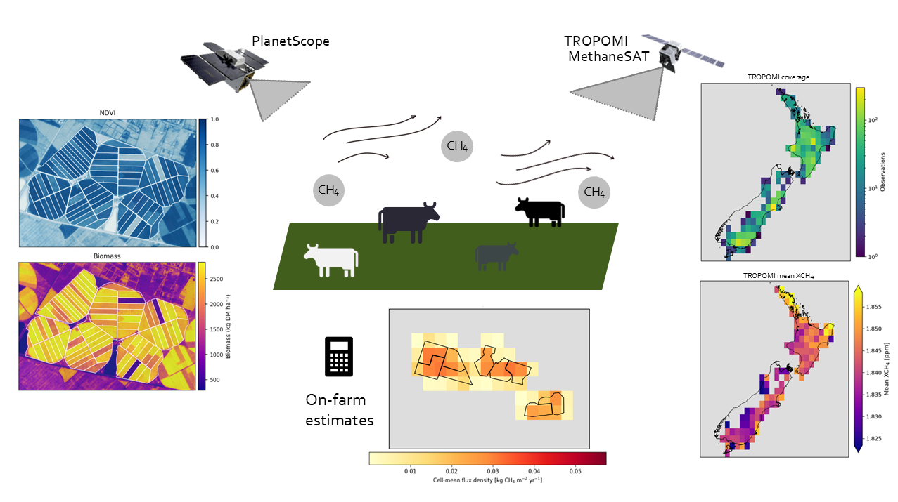
Pastoral agriculture accounts for over 40% of Aotearoa New Zealand’s gross greenhouse gas emissions, with enteric methane from ruminant livestock representing the dominant portion. While national inventory methods provide aggregate estimates, they cannot resolve spatial heterogeneity at farm or paddock scales. Dedicated greenhouse gas satellites offer global atmospheric methane column measurements, yet whether their spatial resolution and retrieval sensitivity are sufficient to constrain emissions at farm and regional scales in dispersed pastoral systems remains an open research question. This project explores the feasibility of an integrated multi-scale framework that links bottom-up farm inventory approaches, top-down satellite observations and in-situ field measurements using the pastoral farming operations of Ngāi Tahu Farming in the Canterbury region.
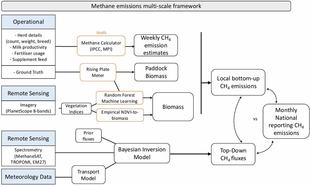
The framework’s bottom-up component implements four calculation methodologies (IPCC Tier 1, Tier 2 Simplified, Tier 2 Advanced and the New Zealand Ministry for Primary Industries Farm Emissions Method), in a purpose-built pipeline ingesting farm-specific operational data with transparent fallback to national defaults. Weekly to seasonal emissions estimates are produced for each farm, enabling temporal analysis of herd-level methane across a production cycle. Satellite-derived vegetation indices from PlanetScope imagery serve as spatial proxies for pasture biomass and livestock feed intake, calibrated against rising plate metre ground measurements using machine learning.
The top-down component, developed in collaboration with Earth Sciences New Zealand, uses atmospheric inversion modelling to estimate methane fluxes from MethaneSAT and Sentinel-5p TROPOMI column observations. Inversion priors are drawn from national inventory estimates and atmospheric transport is simulated using the UK Met Office NAME III Lagrangian particle dispersion model. The farm-scale bottom-up estimates may serve as a future test case for evaluating inversion outputs at finer spatial scales.