Project summary
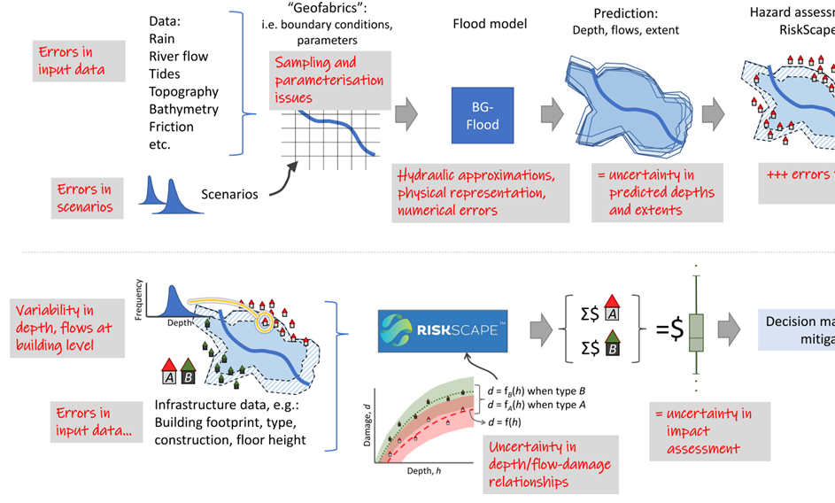
Alongside the uncertainty research, the GRI is working with NIWA to help produce consistent, open-source methodology for the national flood risk assessments. The methods developed are guided by a number of physically-based flood inundation modelling efforts that have been attempted internationally both at national and global scale. The research programme is specifically addressing common problems, including: the mismatch between resolution, accuracy and the detail required for local-level decision-making; the lack of integration of coastal, fluvial (river) and pluvial (rainfall) hazards; poor integration with urban development futures; and an inadequate representation of uncertainty.
GRI Visiting Researcher, Dr Rose Pearson is working towards the development of automated techniques for building a nation-wide datasets suitable for hydraulic modelling, including hydrologically-conditioned digital elevation model (DEM) and roughness maps. Automated processing is needed as these datasets evolve with time, as better survey data becomes available, and in the event of tectonic movements, erosion, earthworks and land-use changes.
An open-source Python library, “GeoFabrics”, has been developed to support the production of datasets from LiDAR and other data. In addition, another library called “geoapis” has been developed to facilitate the programmatic acquisition of the latest LiDAR and vector data available on Open Topography, LINZ LDS, LRIS, and StatsNZ LDS.
Project Lead:
Dr. Emily Lane (NIWA).
GRI Team:
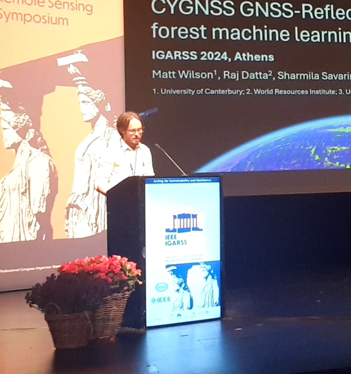
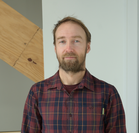
Matthew Wilson (uncertainty lead), Dr. Rose Pearson (NIWA/ GRI visiting research fellow), Martin Nguyen, Andrea Pozo Estivariz
Funding
MBIE Endeavour Research Programme