Polarimetric and Interferometric SAR for 3D Applications
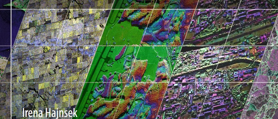
In this seminar, this presentation will focus on polarimetric and interferometric Synthetic Aperture Radar techniques for environmental parameter estimation within the forest, agriculture and snow/ice domain.
Presentation to the Digital Services Quarterly Showcase
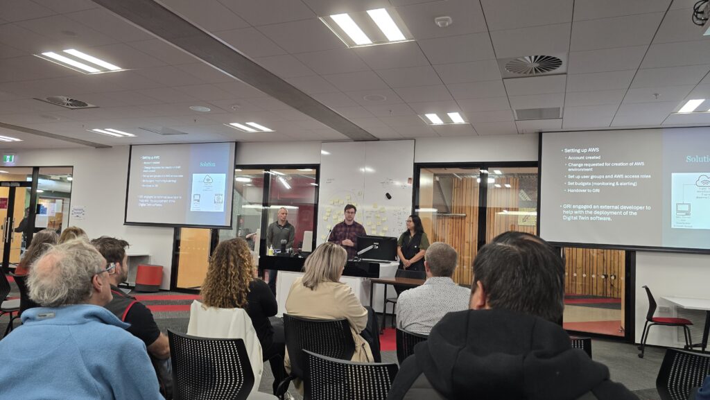
Yesterday, Luke Parkinson (GRI), Greg Preston (Building Innovation Partnership), and Jamie Hart (UC Digital Services) presented Ōtākaro Digital Twin work as an example of successful use of AWS (Amazon Web Services) in a collaborative project at UC’s Digital Services Quarterly Showcase.
VR sneak peek
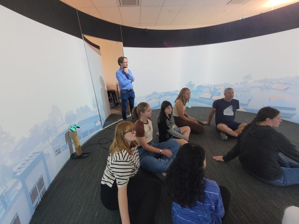
Today in Professor Matthew Wilson’s 4th year class, Coasts and Rivers: from Natural Processes to Urban Environments, students got a sneak peek at a project the GRI is doing for the National Hazards Commission. This work looks at how the presentation of virtual reality video impacts understanding of flood events vs using flood maps alone. […]
Visit to the Indian Institute of Technology, Delhi
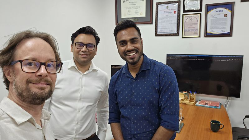
GRI Director, Matthew Wilson has just returned from a trip to the Indian Institute of Technology, Delhi. Prof Wilson said, “It was great to exchange ideas with colleagues in the Civil Engg Deptt IIT Delhi and see all the excellent work being done, especially by PhD students in water resources using novel machine learning methods […]
Visiting PhD Student, Paola Di Fluri
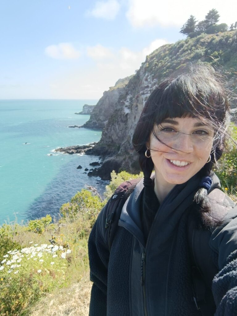
GRI has a visiting PhD student from University of Bologna in Italy. Paola Di Fluri has been working on a thesis that aims to develop innovative methodologies to understand the impact of industrial activities on surface water quality. Specifically, she is working on the development of simplified models for simulating the release of petrochemical products […]
Geospatial science and health: An overview of the Te Taiwhenua o te Hauora | The GeoHealth Laboratory’s impactful research over the past 20 years and what future health challenges will be tackled next
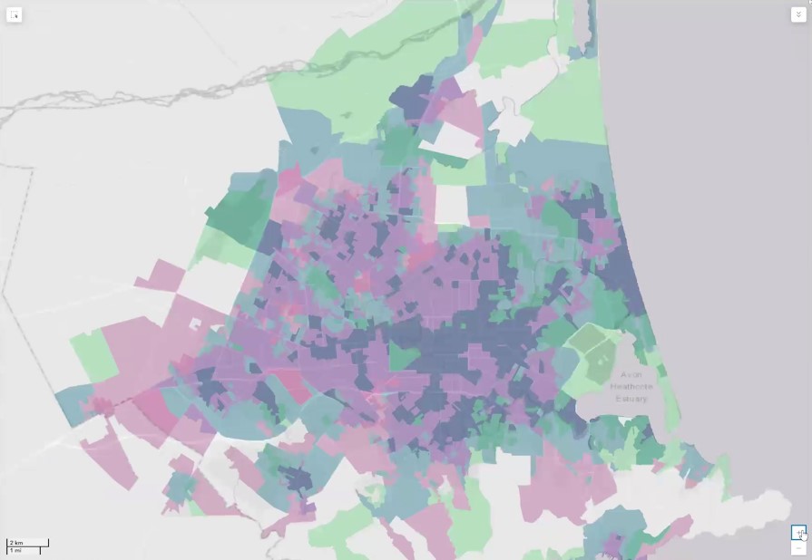
In this seminar, we will explore the differences in health and health behaviours by neighbourhood, uncovering some of the underlying reasons for these variations in health. To better understand the range of ways in which differences in health emerge, Professor Malcolm Campbell will present a series of research projects from Te Taiwhenua o te Hauora | The GeoHealth Laboratory
Mapping the path to better health: Unleash the superpower of geohealth
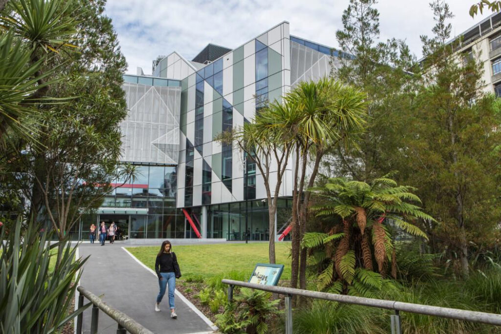
What if maps could lead to better health and well-being for you and your community? Imagine using maps and data to improve our lives, helping us live longer and healthier lives. Join us on a journey as we show you how we make this happen!
Writing retreat at Cass Field Station
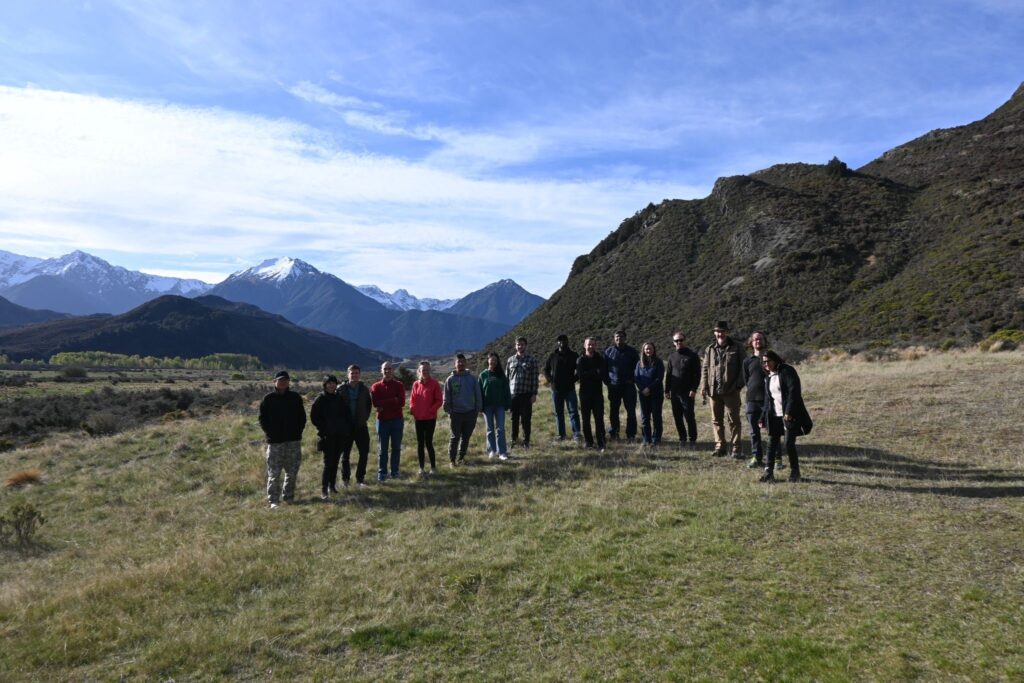
GRI staff and students participated in an overnight writing retreat at University of Canterbury, Cass Field Station last week. Stunning views and a refreshing hike kept minds sharp for the writing workshop. Professor Matthew Williams, Matt Hobbs, and Erkine Fellow, Gemma Bridge lead the writing sessions.
The Ōtākaro Digital Twin
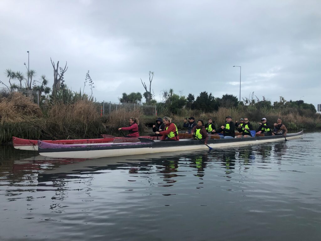
GRI is working with Christchurch City Council and Building Innovation Partnership, on the Ōtākaro Digital Twin. The ultimate purpose is to establish an accessible & innovative platform to collect & communicate knowledge about the Ōtākaro River, serving as a tool to give voice to the Ōtākaro and its importance to the community. The platform will […]
New Zealand SAR Mission Hackathon
The hackathon, a collaborative event, is open to undergraduate or postgraduate students interested in improving their radar technology expertise through mission design.
