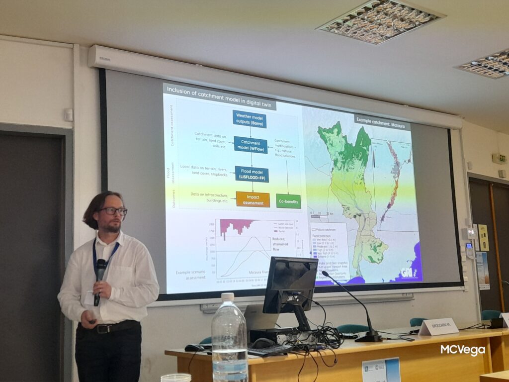
GRI Director, Prof Matthew Wilson presents in Europe
Prof Matthew Wilson began his sabbatical this July by giving talks in Greece and Italy. He attended the River Flow Conference (13th International Conference on Fluvial

Prof Matthew Wilson began his sabbatical this July by giving talks in Greece and Italy. He attended the River Flow Conference (13th International Conference on Fluvial
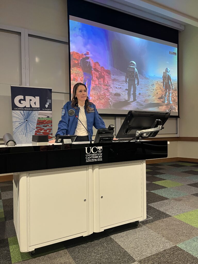
Astronaut Katherine Bennell-Pegg (Director at the Australian Space Agency) delivered an inspiring talk at the University of Canterbury outlining the future of space exploration, the realities of astronaut training, and the growing opportunities for New Zealand and Australia in the rapidly expanding space economy.
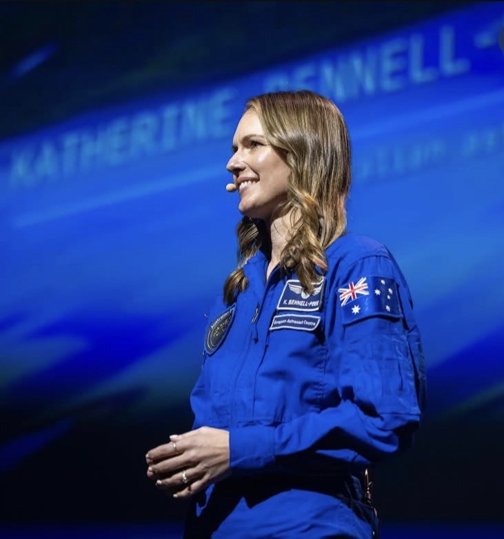
Hear from astronaut and 2026 Australian of the Year, Katherine Bennell-Pegg about how our two countries are cutting through on the global space stage. Katherine will also share about her journey to becoming a professional astronaut and the lessons from her training that can benefit Australia and New Zealand.
Researchers from UC’s Toi Hangarau | Geospatial Research Institute, led by Professor Matthew Wilson and Xander Cai, are developing a cutting-edge AI-driven system to help
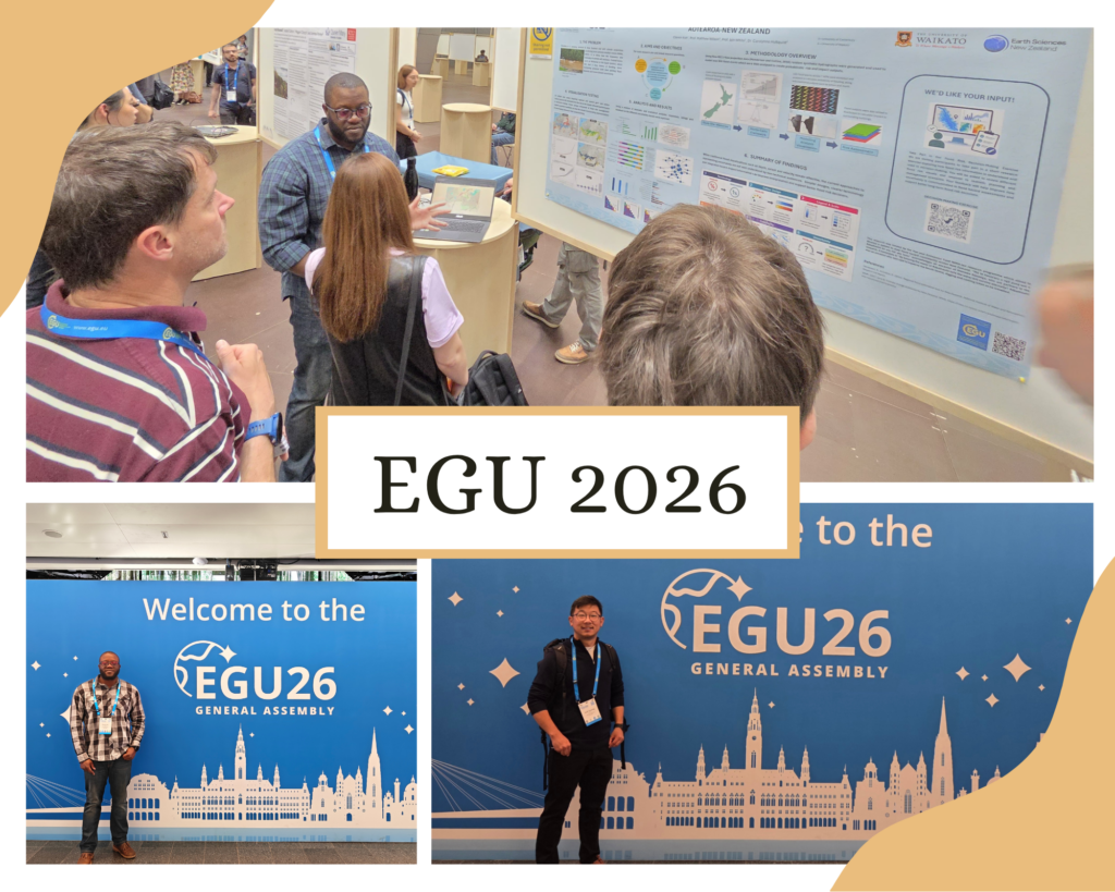
We are proud to share that Sunil Tamang and Clevon Ash are currently representing the Geospatial Research Institute and UC at the European Geosciences Union
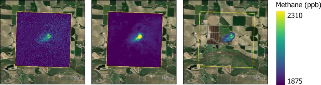
In this talk, we will present results demonstrating MethaneSAT’s ability to quantify emissions from both intensive agriculture systems and in dispersed pastoral agriculture. We will show analysis of data from over 200 individual agricultural scenes over the United States from MethaneAIR, an airborne precursor instrument to MethaneSAT, which suggest methane emissions from intensive agricultural systems may be systematically under-estimated due to poor quantification of emissions from animal waste.
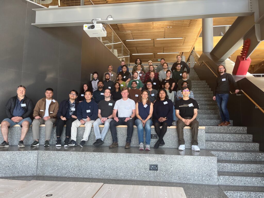
We had a fantastic turnout to the Second IEEE GRSS NZ Radar Remote Sensing School 2026 (NZRRSS). The event was held here at the University
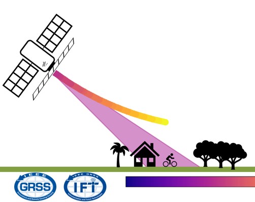
The talk outlines the principles of Synthetic Aperture Radar and provides an overview of the underlying radar instrument designs and imaging techniques. It then details a specific imaging mode known as f-STEC which explores the SAR trade-space in an unusual way by time compressing the return echo. It is demonstrated how the f-STEC imaging mode can be utilised by both aforementioned trends.
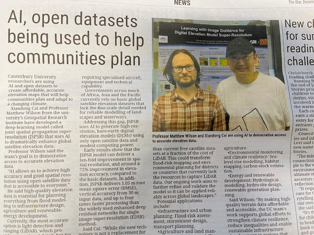
On December 4th, 2025 the Star, page 17, put out an extensive article, entitled “AI, open datasets being used to help communities plan.” Here is
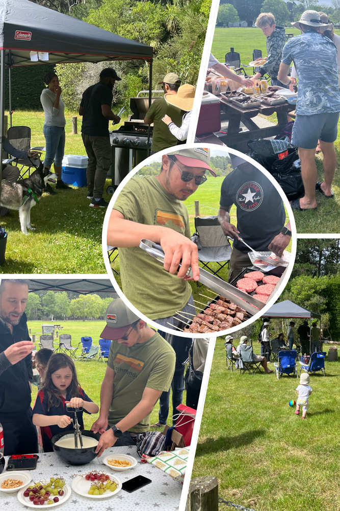
We had a great turn out to the annual GRI Holiday Party! Nearly forty GRI staff, students, family, and friends came for an afternoon of
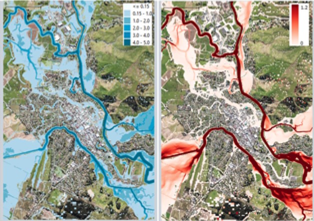
This talk will report on results from a 5-year MBIE-funded Endeavour Programme, Mā te Haumaru o te Wai on the development of a semi-automated workflow to consistently model flood hazard and risk over all of Aotearoa for current and future climates, and show results from this work that are being made available on our flood hazard and risk viewing platform to help ensure there is consistent information available.

We invite the Geospatial community to attend or present geospatial work at the upcoming Sixth Spatial Data Science Symposium. SDSS2025 is a distributed/online symposium. Participants