Speaker:
Dr Malcolm Campbell
Professor of
School of Earth and Environment
University of Canterbury
Professor Campbell is a Quantitative Human Geographer with expertise in Health and Medical Geography as well as Urban and Regional Analytics. He is the current Director of the GeoHealth Laboratory at UC and the founder of the Regional Analytics Lab. Dr Campbell has primary research themes in GeoHealth and Health Geography. He also has research themes in regional studies and science with a focus on regional analytics. Malcolm is working on a series of projects that examine and attempt to understand social and spatial inequalities for different populations, processes and places. He is also currently seconded to the Ministry of Health as a Principal Academic Advisor within the academic engagement programme.
Seminar Summary:
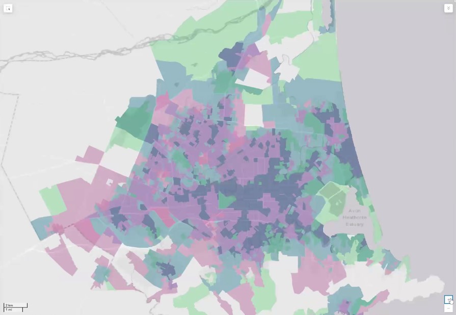
In this seminar, we will explore the differences in health and health behaviours by neighbourhood, uncovering some of the underlying reasons for these variations in health. To better understand the range of ways in which differences in health emerge, Professor Malcolm Campbell will present a series of research projects from Te Taiwhenua o te Hauora | The GeoHealth Laboratory, highlighting how Geospatial technology and methods have helped to uncover hidden patterns in health data. We will also explore the impact of our research, which has been a key theme of the GeoHealth Laboratory’s 20-year history, in engaging beyond the university to share our research.
28th February 2025
Ernest Rutherford 219 | University of Canterbury or Online via Zoom
- Refreshments & Networking: 12:30-1:00 pm
- Seminar: 1:00-2:00 pm