
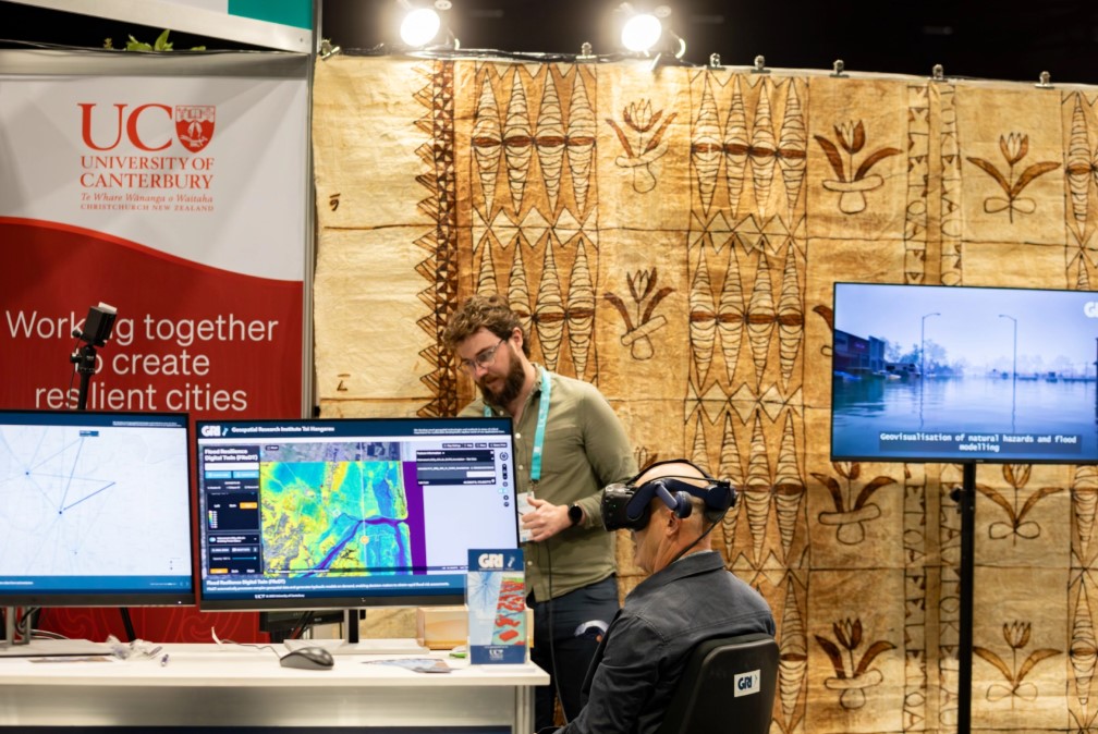
It was a busy and rewarding three days of demonstrations of our work in the adaptation space, including web apps for assessing how healthy communities are, a transport carbon emissions scenario planner, the Ōtakaro Digital Twin including predicted pollutant runoff from urban surfaces, and the Flood Resilience Digital Twin, enabling automated assessments of flood risk under multiple scenarios.
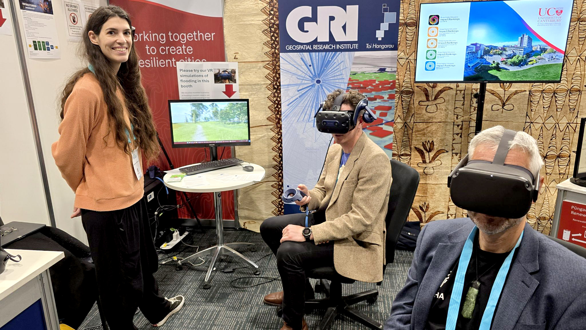
Booth visitors also tried our virtual reality simulations which represent modelled flood scenarios in a more visually engaging, immersive way than maps alone. We were touched by the positive feedback regarding how this tech can be an enabler for community understanding of their risks, and emergency planning.
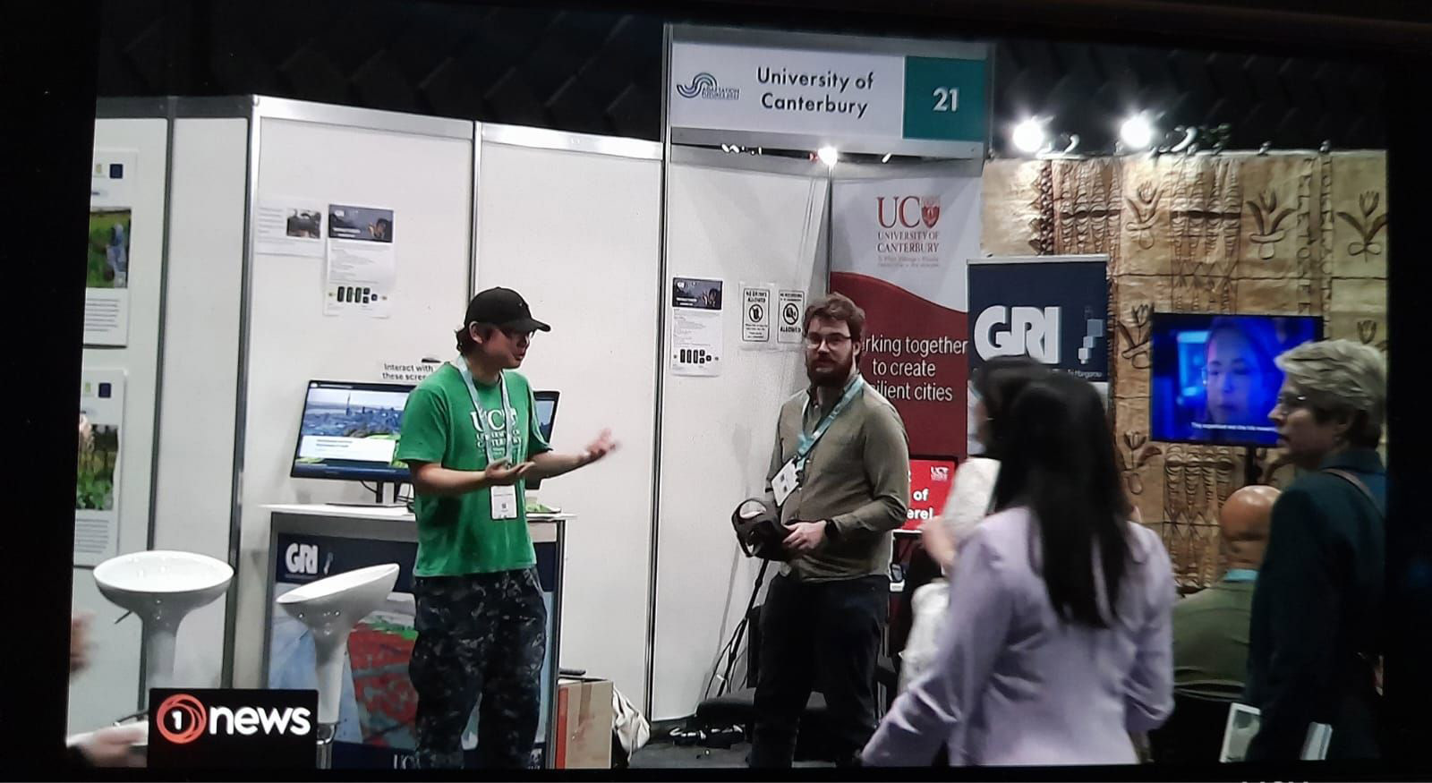
We even made it onto the TVNZ 6 PM news (for about a second!).
Photos:
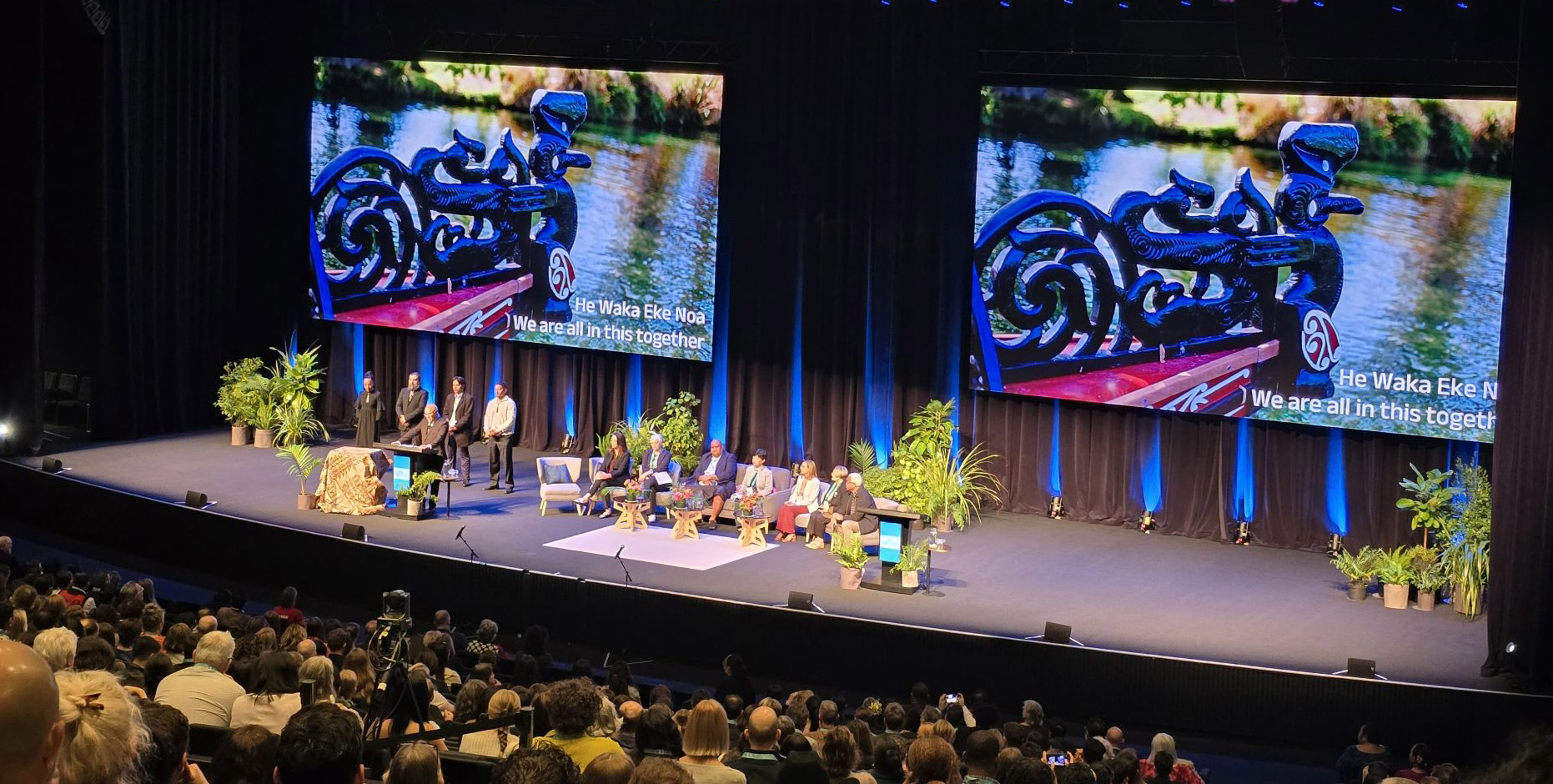
1. The hashtag#AF2025 opening ceremony set the scene powerfully – He waka eke noa: we are all in this together.
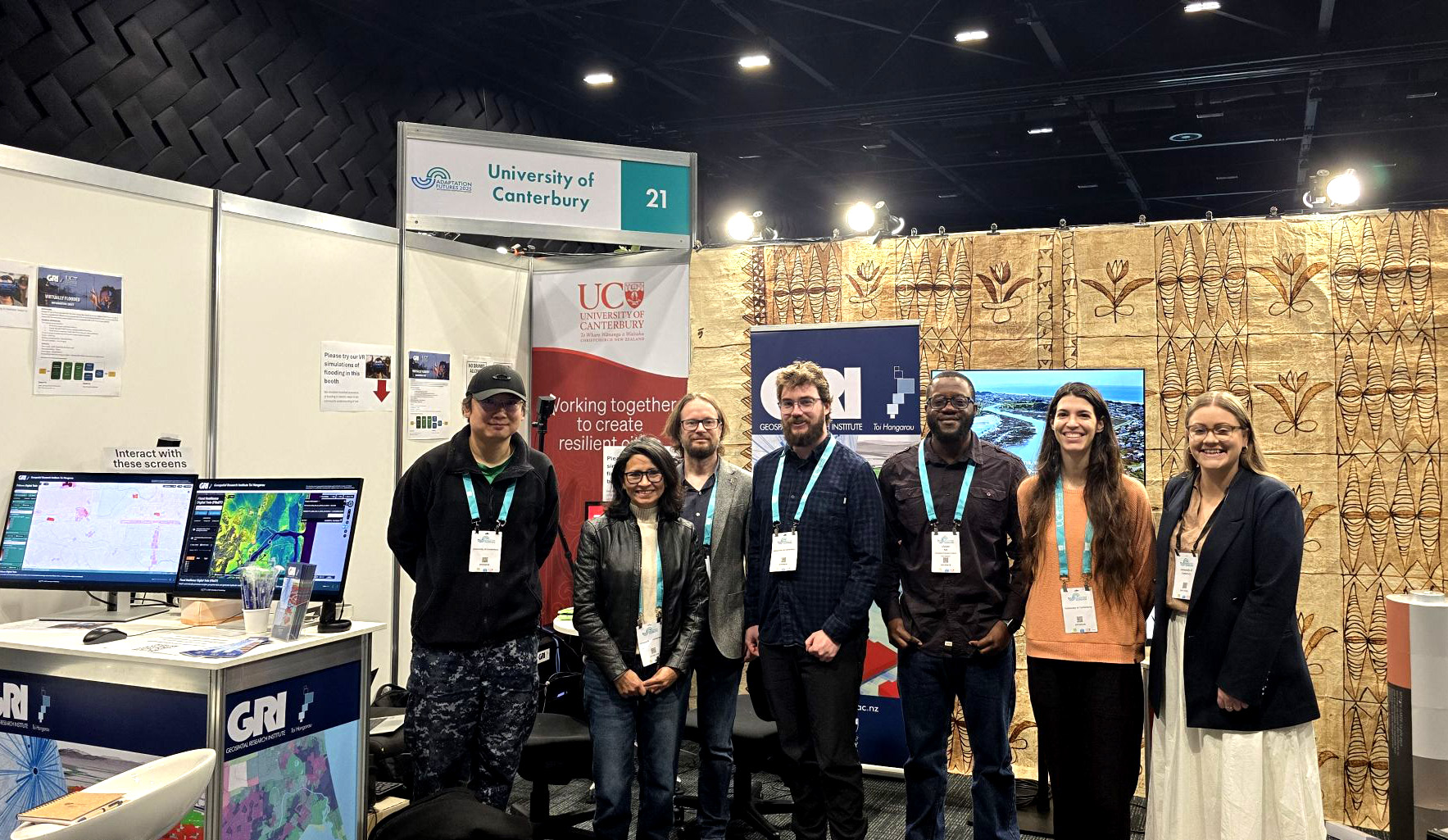
2. The UC team including the EPECentre (Electric Power Engineering Centre) and Hamish Avery (with a cool waka simulation for power generation)
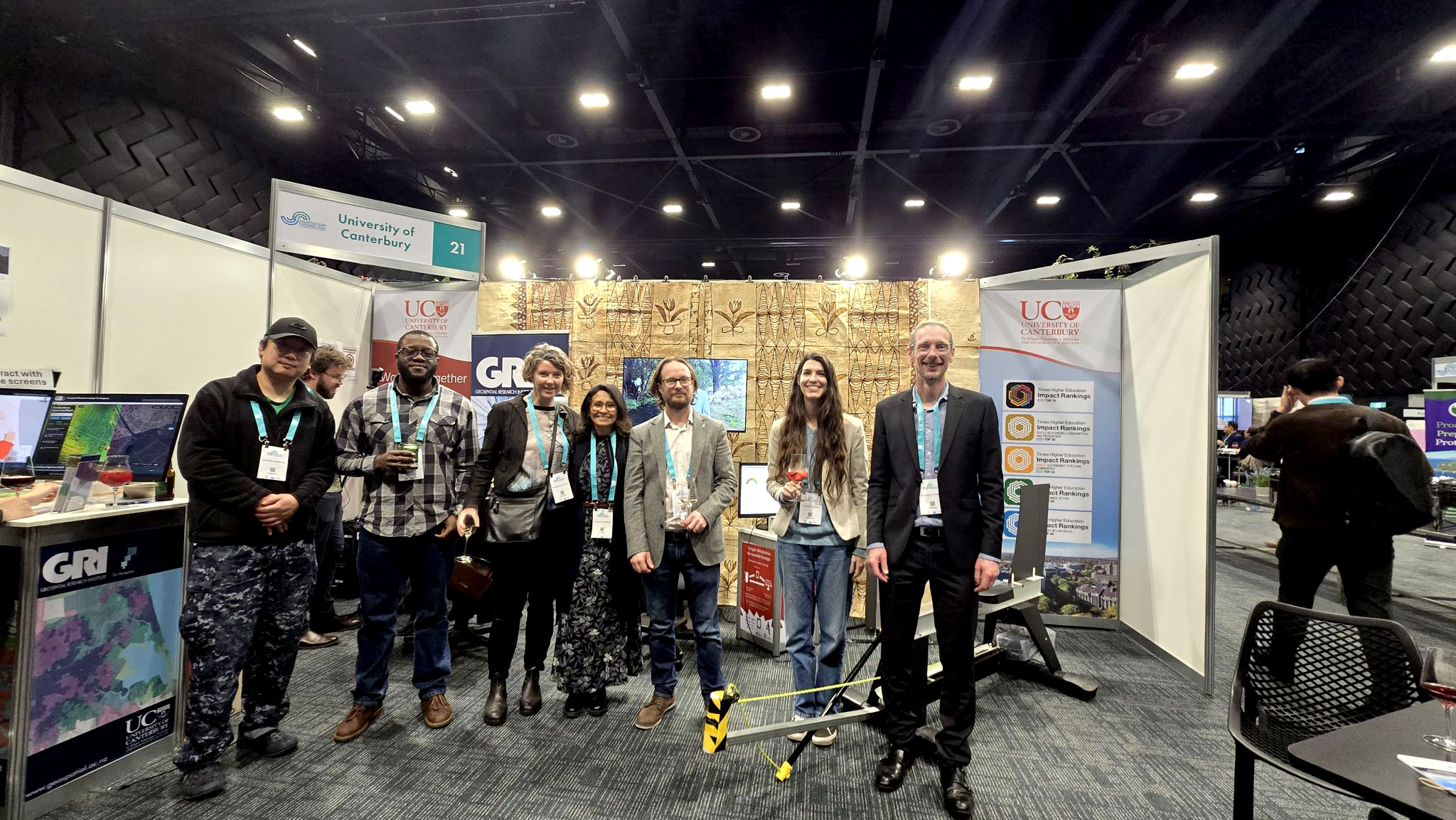
3. Team GRI
4. Mike Taitoko and Tasman Gillies try out the hashtag#VR. Looking good 🙂
5. Our brief moment of fame on 1News.

