
Second IEEE GRSS NZ Radar Remote Sensing School 2026 (NZRRSS)
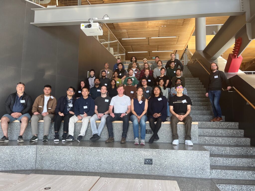
We had a fantastic turnout to the Second IEEE GRSS NZ Radar Remote Sensing School 2026 (NZRRSS). The event was held here at the University of Canterbury (UoC) from 15 to 17 April 2026, organised by the Geoscience and Remote Sensing Society (GRSS) New Zealand Chapter and the Geospatial Research Institute (GRI), supported by the […]
Current Trends in Synthetic Aperture Radar Imaging Techniques
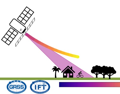
The talk outlines the principles of Synthetic Aperture Radar and provides an overview of the underlying radar instrument designs and imaging techniques. It then details a specific imaging mode known as f-STEC which explores the SAR trade-space in an unusual way by time compressing the return echo. It is demonstrated how the f-STEC imaging mode can be utilised by both aforementioned trends.
Polarimetric and Interferometric SAR for 3D Applications
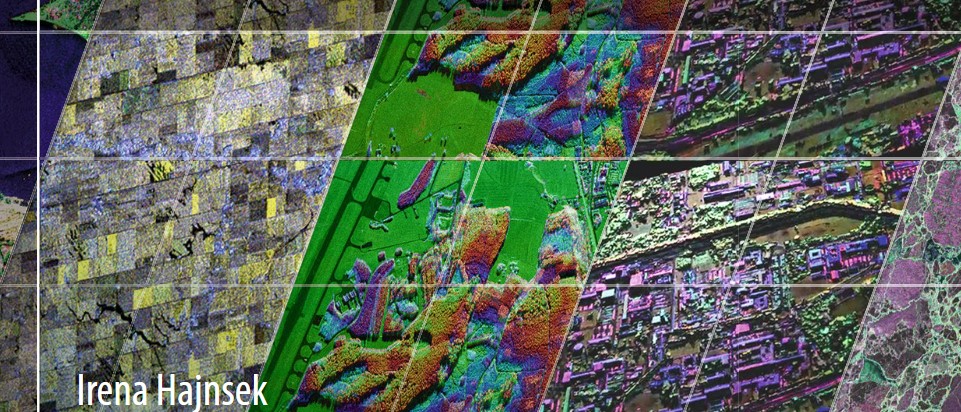
In this seminar, this presentation will focus on polarimetric and interferometric Synthetic Aperture Radar techniques for environmental parameter estimation within the forest, agriculture and snow/ice domain.