
GRI Director, Matt Wilson presents at IGARSS Greece
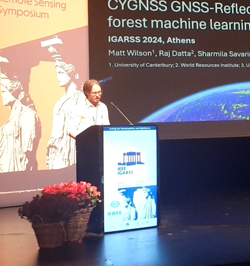
Matt Wilson presented on July 10, 2024 at the 44th annual International Geoscience and Remote Sensing Symposium in Athens, Greece. His talk was titled: “Prediction of soil moisture from near-global CYGNSS GNSS-Reflectometry using a random forest machine learning model”.
Earth Science in an Age of Change
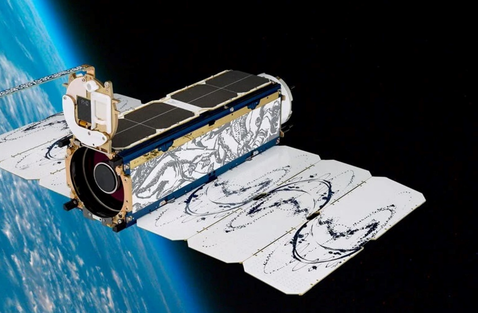
Planet (a public benefit corporation) is imaging the land surface of the Earth on a near-daily basis, with multispectral sensors at ~3.7m per pixel we operate the largest fleet of earth observation satellites in history with a constellation of 19 high-resolution SkySats, capable of 0.5m multispectral imaging. e change, terrestrial an aquatic ecosystems, wildlife biology and agriculture.
Video recording available at:
https://www.youtube.com/watch?v=Dv37CHZct2o&list=PLJymSfBIuEWKYLJbi6LzyiRXKtAQBbcH3&index=7&t=15s
Penguins from Space: Using satellite imagery to monitor emperor penguins in their struggle against a warming Antarctica.
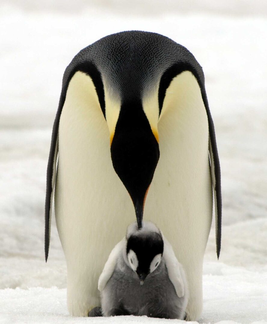
In Antarctica emperor penguins are the species most at risk from climate change. Up until a decade ago our understanding of the species was hindered by the logistical challenges of studying a species which lives in one of the harshest places on earth. But since then advances in our use of satellite imagery has enabled us to find, count and monitor the birds, transforming it from one of the least studied species in Antarctica to one of the best.
Sensing Water: The Rongowai airborne remote sensing mission for GNSS-Reflectometry across New Zealand
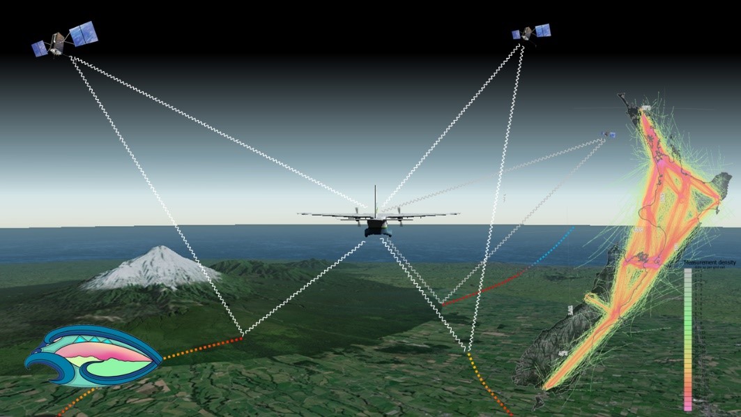
The Global Navigation Satellite System (GNSS), emit radio signals in the L-band to enable precise positioning on the Earth’s surface. GNSS has become ubiquitous in our everyday lives, underpinning location-based technologies from traffic routing to precision agriculture. These GNSS “signals of opportunity” have been used in novel space borne missions such as CyGNSS (Cyclone GNSS), which is primarily designed to observe the ocean surface under tropical cyclone systems. However, signals reflected from the land surface have been found to sensitive to soil moisture and surface water, providing a valuable additional source of data.