
Research team
Matthew Wilson (University of Canterbury)
Iain Gover (Te Rūnanga o Ngāi Tahu)
Xander Cai (University of Canterbury)
Luke Parkinson (University of Canterbury)
Funding
The Natural Hazards Commission
Project summary
Flood inundation is a frequent, widespread, and impactful hazard, which regularly causes
damage to housing and infrastructure along with disruption to whanau, communities,
and businesses. Flood risk is expected to increase in future because of climate change
through increased storminess coupled with rapid growth of urban areas. To manage flood
risk efficiently and effectively, now and in future, communication of risk assessments
for multiple scenarios needs to be targeted with the right method for the right audience.
However, there is limited information on what works best, why, and for whom. This has been
particularly highlighted following Cyclone Gabrielle in February 2023, with its unprecedented
impacts which were not well understood beforehand.
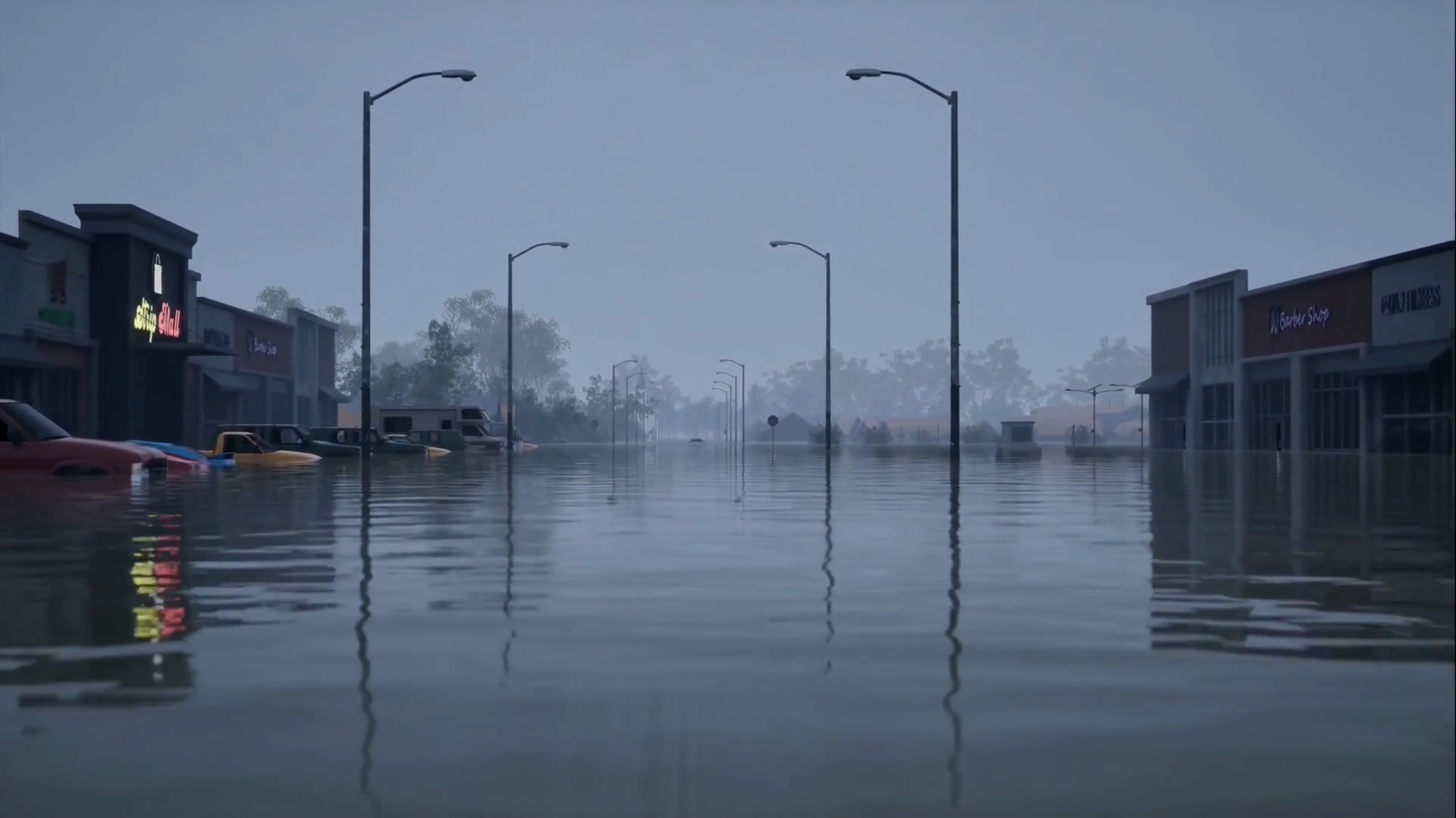
Flood risks are generally poorly understood by the public, with flood events taking
communities by surprise even if risk assessments have been completed. Further, traditional
two-dimensional risk maps are limited by interpretability challenges. Three-dimension
AI visualisations and immersive Virtual Reality (VR) technology have been found to be
more intuitive due to their increased realism. This research will design and test advanced
visualisations of flood risk using VR, with the aim to improve awareness of flood risk in
Aotearoa.
Building from our existing prototype system for the automated generation of flood
scenarios, we will co-design and develop advanced visualisations of future flood scenarios
with Te Ngāi Tūāhuriri Rūnanga and the Te Rūnanga o Ngai Tahu (TRONT) geospatial and
transformation teams, and facilitated by the Ngāi Tahu Centre, University of Canterbury. The
primary focus of this project is to develop and test high resolution, dynamic visualisations
which are needed to improve the communication of the potential impacts of flooding under
various scenarios, enabling communities and decision-makers with the information they
need to adapt to their changing flood risks.
We will work with the Te Ngāi Tūāhuriri Rūnanga to test the improvements made to the
communications process for flood risk, and the associated decision-making processes at
multiple levels. The scenarios developed will situate people in communities with what the
flood risk was like, is like, and might be like in future. Our work will lead to an increased
understanding of flooding, particularly when accounting for climate change and potential
strategies for mitigation, and the provision of the tools needed to communicate and address
the complex nuances of changing risks.

