Research team
Dr Kiri Joy Wallace (University of Waikato)
Dr John Reid (J D Reid LTD)
Matthew Wilson (University of Canterbury)
Ngāti Pikiao (Tainu and Ngai Tahu Research Centre, University of Canterbury)
Nathaniel Calhoun (Code Innovation)
Kevan Cote (Moose Engineering & Design)
Karen Denyer (Papawera Consulting Ltd)
Saif Khan (University of Canterbury)
Length of Project: 2022-2024
Funding
New Zealand National Science Challenge
Eco-index Research Programme project summary
The Eco-index programme is funded through the New Zealand’s National Science Challenge “New Zealand’s Biological Heritage – Ngā Koiora Tuku Iho”. Through this initiative, the Eco-index programme has set a long-term National Biodiversity Vision ‘protected, restored and connected by 2121’. The Protect-Tiaki entails maintaining current native biodiversity by abating threats. The Restore – Whakahou is based on a land cover target for native ecosystems in every catchment to be restored to a minimum of 15% of their original extent. The connect- tūhono means connecting native ecosystems from the mountain to the sea.
The work developed in the GRI has been focused on acquisition, integration and analysis of spatial data as well as the implementation of methods (including machine learning) to achieve the 3 main project’s objectives. Thus, in order to know the current biodiversity status to help planning for future maintenance, the broader Eco-index team, developed an analytical framework.
In this way, we have developed two main outputs: The Expected Natural Ecosystem Range (ENR), which encompasses three main data types currently available land cover, native vegetation (potential) and wetland areas, and the Eco-index catchments layer which has been develop to calculate the shortfalls to reach 15% of the original native ecosystem types by catchment (Figure 1).
As a digital public good, the reconstruction maps can be visualised via web (https://eco-index.nz/ecosystem-reconstruction-map), and associated geospatial data is available at https://eco-index.koordinates.com/
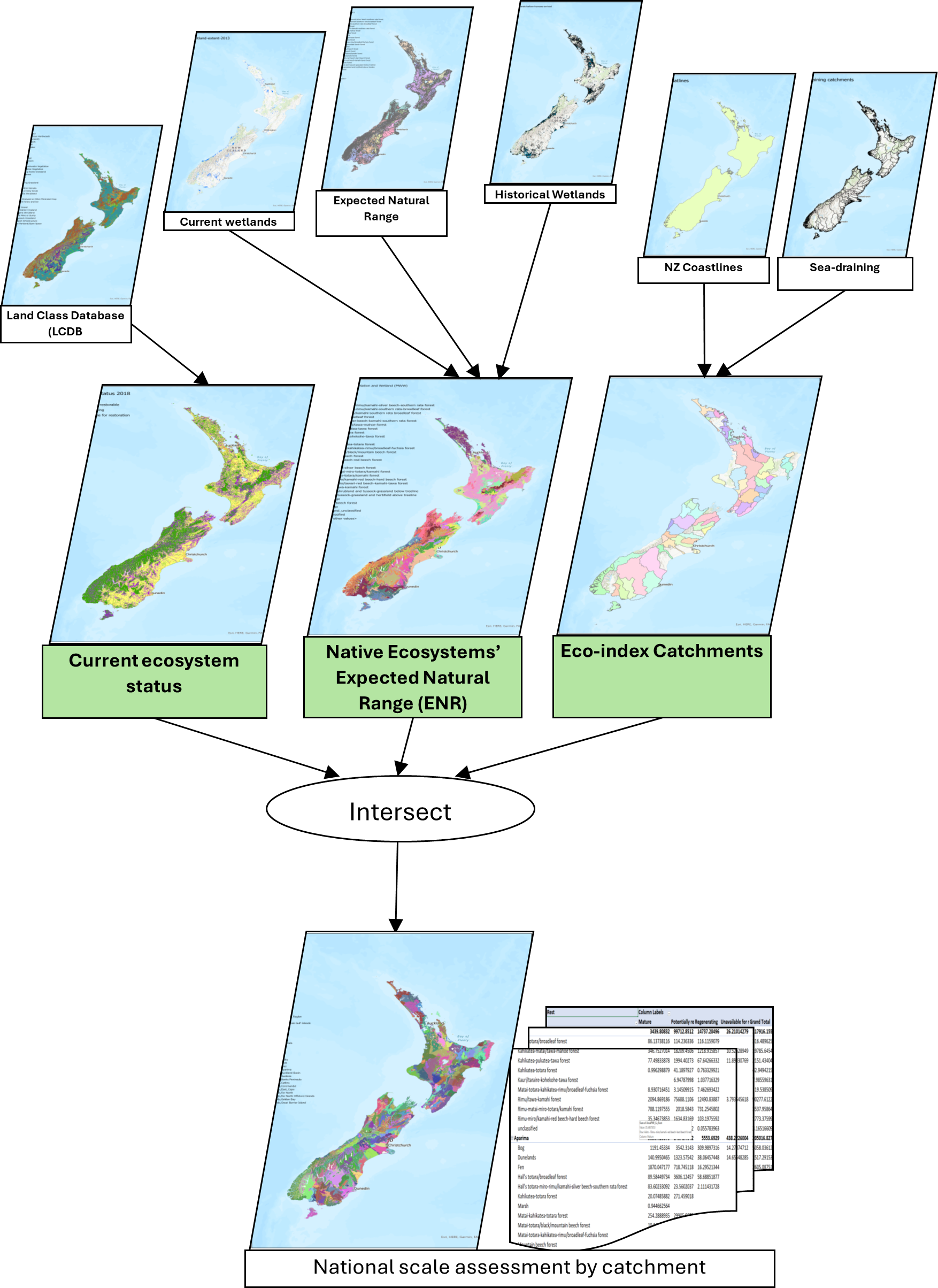
Figure 1. Geospatial analytical framework and dashboard for Eco-index programme
The Ecosystem Detector sub project summary
Another main component under development in the Eco-index programme is the ecosystem detector. The Ecosystem Detector algorithm has been developed using remote sensing data i.e. multi-spectral data obtained from different remote sensing sources (e.g. Sentinel and Planet) and bio-physical data (e.g. soil moisture and elevation) together with machine learning. Using these data machine learning algorithms were developed to discriminate signatures for prioritised native ecosystems and vegetated wetlands.
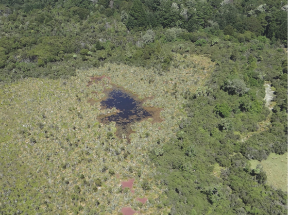
A model for detecting eight Aotearoa wetland types has already been developed and is undergoing evaluation via ground-truth data available from different sources, including regional councils and crown research institutes.
Together with ongoing projects being developed by the GRI team, such as ‘Rongowai’ and large scale LiDAR data procession, there is highly technical capability to continue developing cutting-edge research in this area.
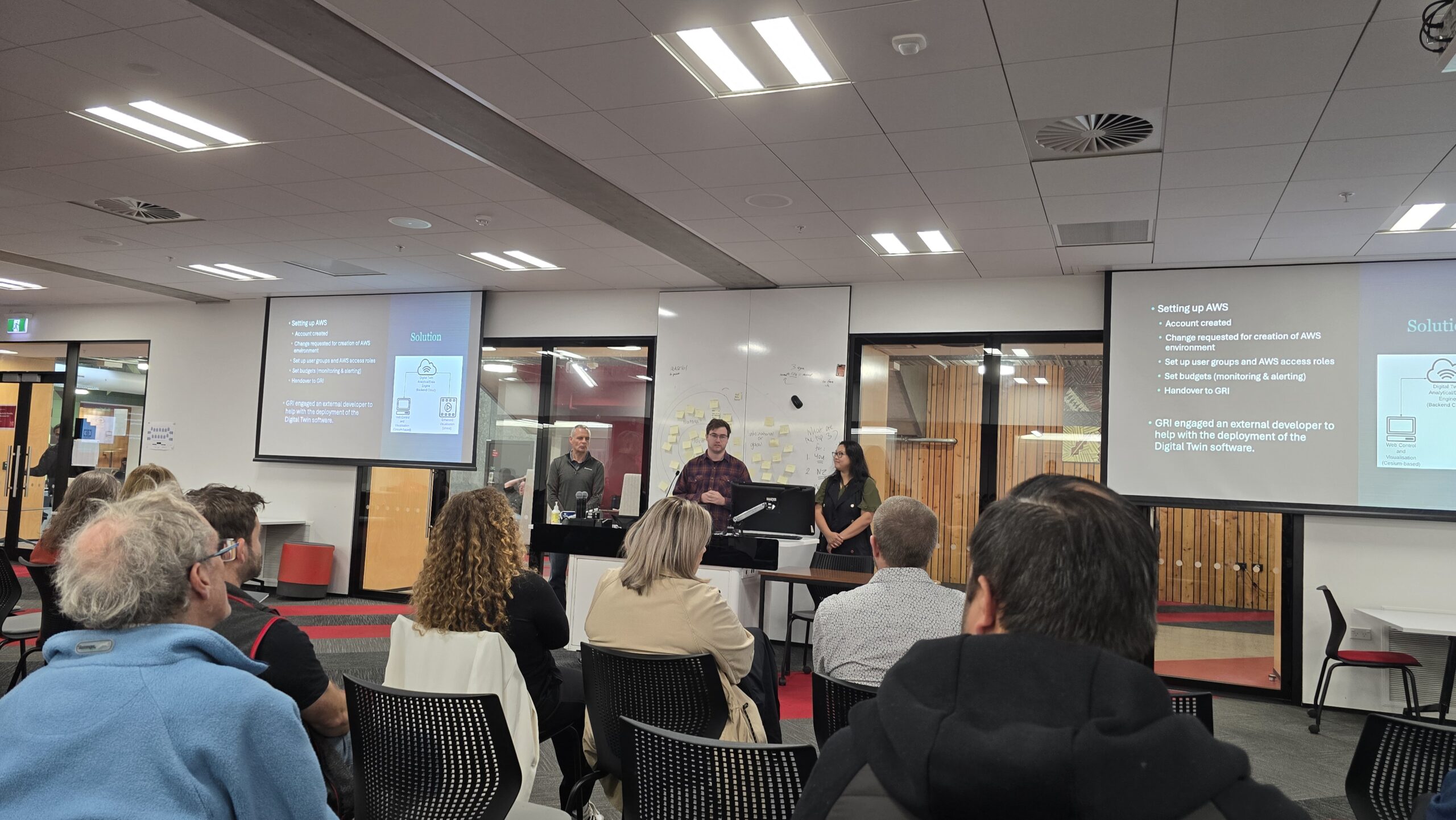
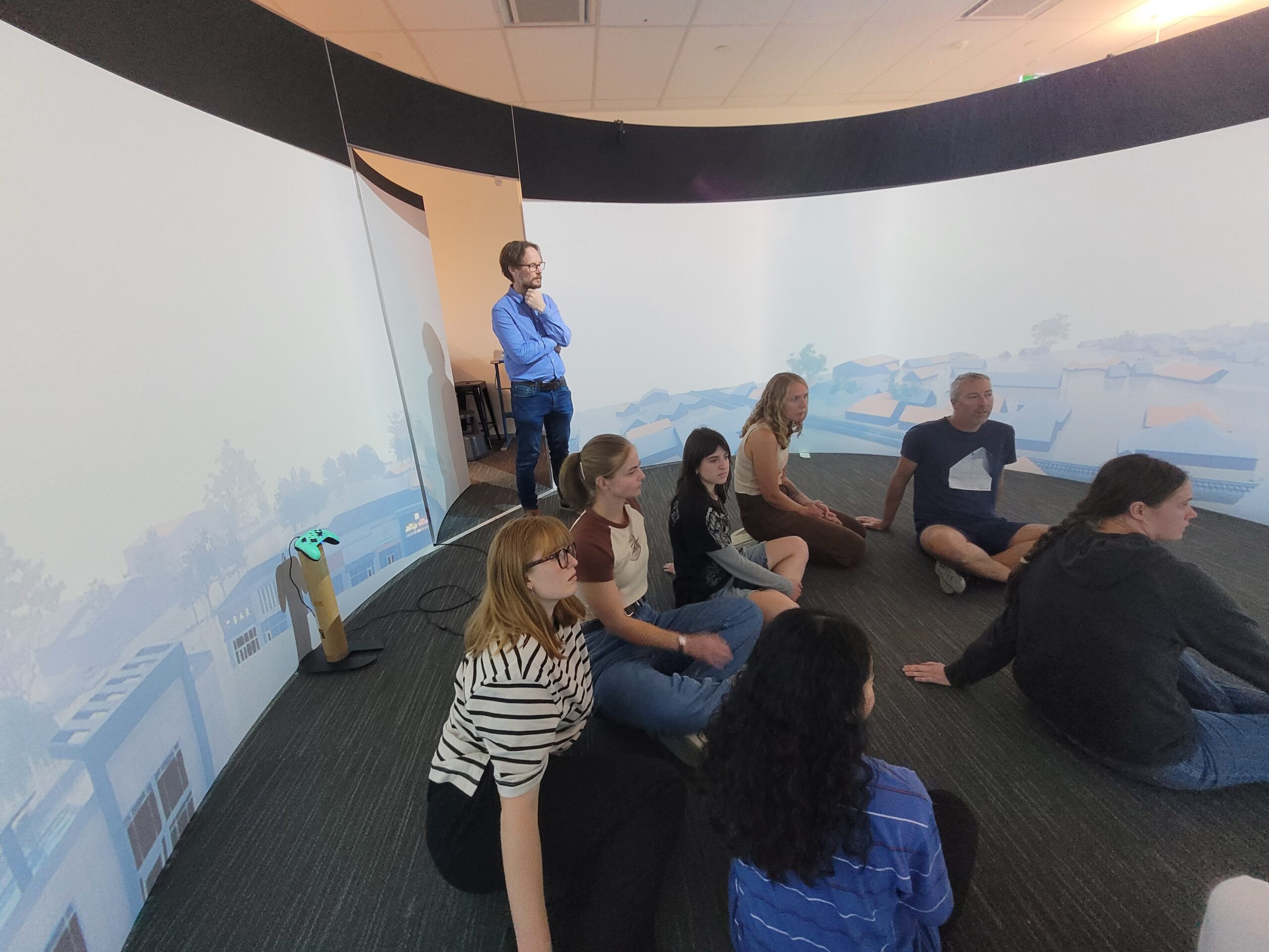
A GRI goal is to develop an ‘environmental digital twin’ to facilitate data-informed decision-making for managers and policymakers in biodiversity space under different management and climate change scenarios.
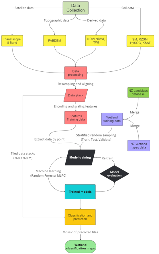
Figure 2. Process diagram of machine learning-based ecosystem detection model development using satellite images
Outputs
Kahn, S. Detecting Vegetated Wetlands of New Zealand through Satellite Imagery and Machine Learning, MIGARS, April 8-10, 2024, Wellington, New Zealand.
Kahn, S. Leveraging Aerial RGB Imagery and Machine Learning for Monitoring Vegetation Encroachment in Dynamic Braided River Ecosystems of New Zealand, ForestSat, Sept 10-12, 2024, Rotorua, New Zealand.