Speaker:
Professor Irena Hajnsek
Professor of
Earth Observation at the Swiss Federal Institute of Technology &
Head of
Polarimetric SAR Interferometry Research Group at
the German Aerospace Centre
Irena Hajnsek’s main research interests are in the electromagnetic propagation and scattering theory, radar polarimetry, SAR and interferometric SAR data processing techniques. In 2024 she was awarded with an Honorary Doctoral Degree from the University of Oslo for outstanding contributions to science, including the development of algorithms using innovative radar techniques for environmental parameter estimation and setting requirements for the design of future radar missions application areas such as permafrost, glaciers, disaster management, agriculture, and climate change impacts.
Seminar Summary:
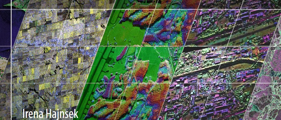
The Earth surface has a strong dynamic component and we need innovative remote sensing techniques to capture the changes occurring in our environment. The presentation will focus on polarimetric and interferometric Synthetic Aperture Radar techniques for environmental parameter estimation within the forest, agriculture and snow/ice domain. Most of the examples are either from the German Aerospace Centers airborne system F-SAR or from the satellite mission TanDEM-X. Both systems comprising innovative imaging technologies where out of if innovative data processing algorithms have been developed for the derivation of environmental products. The presentation will give an overview of the recent developed techniques and will provide an outlook where the technology is heading to.
30th July 2025
Ernest Rutherford 263 | University of Canterbury
- Refreshments & Networking: 1:15-2:00 pm
- Seminar: 2:00-3:00 pm