
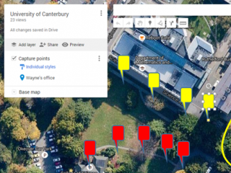
[dropcaps style=’square1′ background_color=”]T[/dropcaps]he Geospatial Research Institute Toi Hangarau worked with a group of Secondary School Geography Teachers today, providing some tips and tools for easily deployed spatial data capture using freely available online resources. The day was a success with the rain holding off long enough for all participants to get outside and collect some data before returning to the workshop to view and manipulate the results.

Current Trends in Synthetic Aperture Radar Imaging Techniques
This talk will report on results from a 5-year MBIE-funded Endeavour Programme, Mā te Haumaru o te Wai on the development of a semi-automated workflow to consistently model flood hazard and risk over all of Aotearoa for current and future climates, and show results from this work that are being made available on our flood hazard and risk viewing platform to help ensure there is consistent information available.
