Data-Driven Space
Assoc. Prof. Tony Moore – School of Surveying, University of Otago, Dunedin
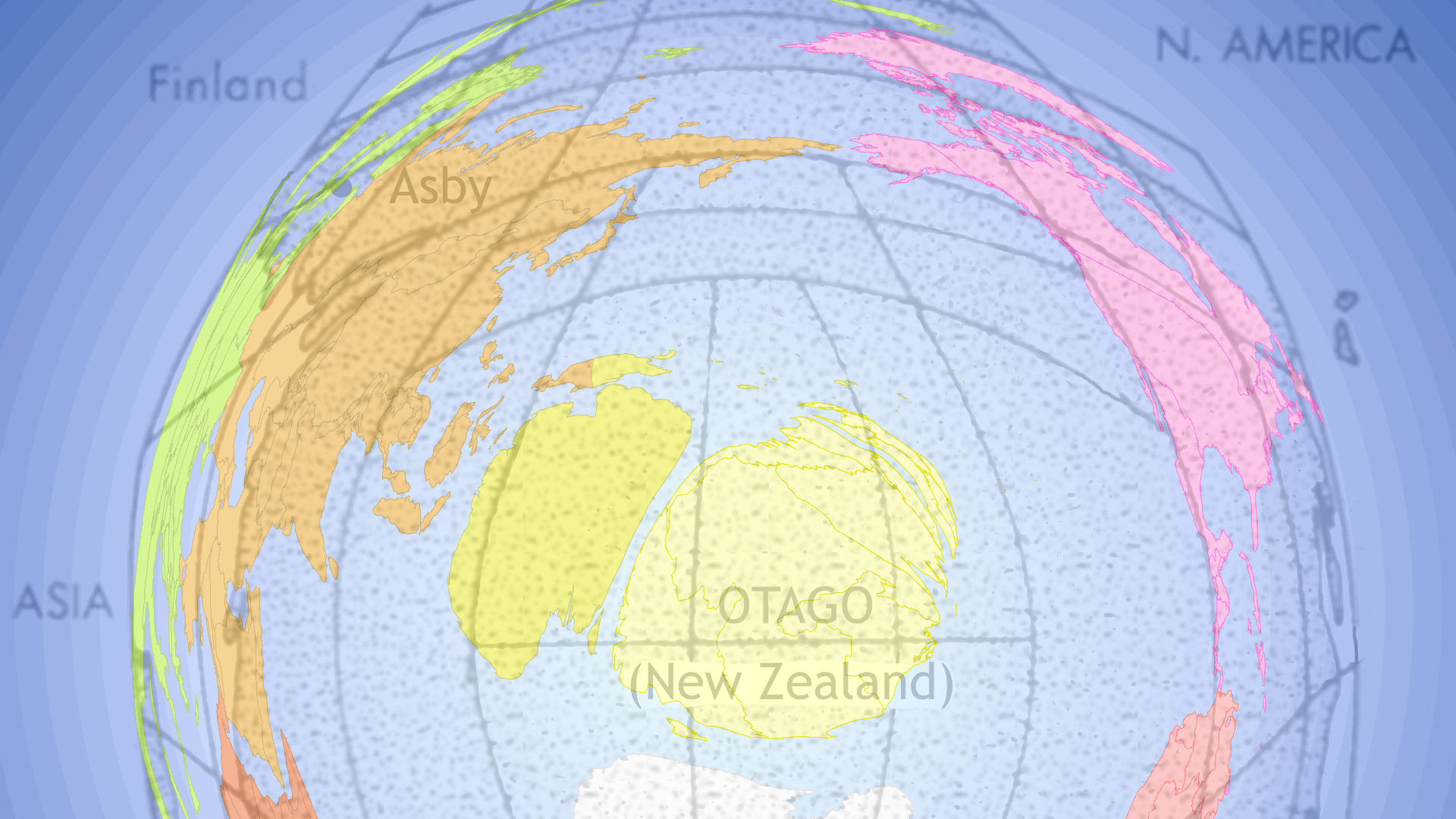
The spatial data that underpin the maps we see are often compromised by the limited space for them in the map. For example, a large amount of features have to be mapped in cities but there is comparatively less area to contain them relative to the feature-poor rural areas. We usually apply generalisation processes to select, emphasise and simplify representations of data in the map so that it “fits”. We introduce an alternative data-driven approach to allocating map space, where cartogram techniques expand or contract space to accommodate more or less data. The method will be illustrated with examples from exercise science, academic networks and the creation of maps of non-spatial work project data (spatialisation).
Room 263, Ernest Rutherford Building
Join us for a networking lunch from 12:30 PM; Tony’s talk will begin at 1:00 PM.
All are welcome.