Geospatial Research in Industry

Geospatial Research Seminar Series (GRISS)


Speaker:

Peter Shaw

Engineering Director,

Cloud (Geospatial)

Trimble Inc.

Peter is an Engineering Director at Trimble, coming from a background of software development and engineering science. He is currently responsible for Trimble Geospatial’s Cloud Software delivery.


Seminar Summary:

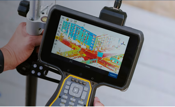
In this seminar, Peter Shaw will be giving an overview of areas of interest at Trimble, particularly, their ongoing pursuit of increased accuracy, reliability, and efficiency in positioning techniques (including mitigation against space weather/ionospheric effects) and the application of AI to Geospatial problems.


Thursday  26th October 2023
Ernest Rutherford 263 | University of Canterbury or Online via Zoom

  • Refreshments & Networking:  12:30-1:00 pm
  • Seminar:   1:00-2:00 pm


All are welcome!


Share the Post:

Related Posts

Nationally Consistent Flood Hazard and Risk Information for Aotearoa

This talk will report on results from a 5-year MBIE-funded Endeavour Programme, Mā te Haumaru o te Wai on the development of a semi-automated workflow to consistently model flood hazard and risk over all of Aotearoa for current and future climates, and show results from this work that are being made available on our flood hazard and risk  viewing platform to help ensure there is consistent information available.

Read More

Sixth Spatial Data Science Symposium

We invite the Geospatial community to attend or present geospatial work at the upcoming Sixth Spatial Data Science Symposium. SDSS2025 is a distributed/online symposium. Participants are welcome to join one of the symposium hubs distributed around the world. Groups of

Read More