The BERTHA Big Data Centre for Environment & Health: Opportunities & Challenges
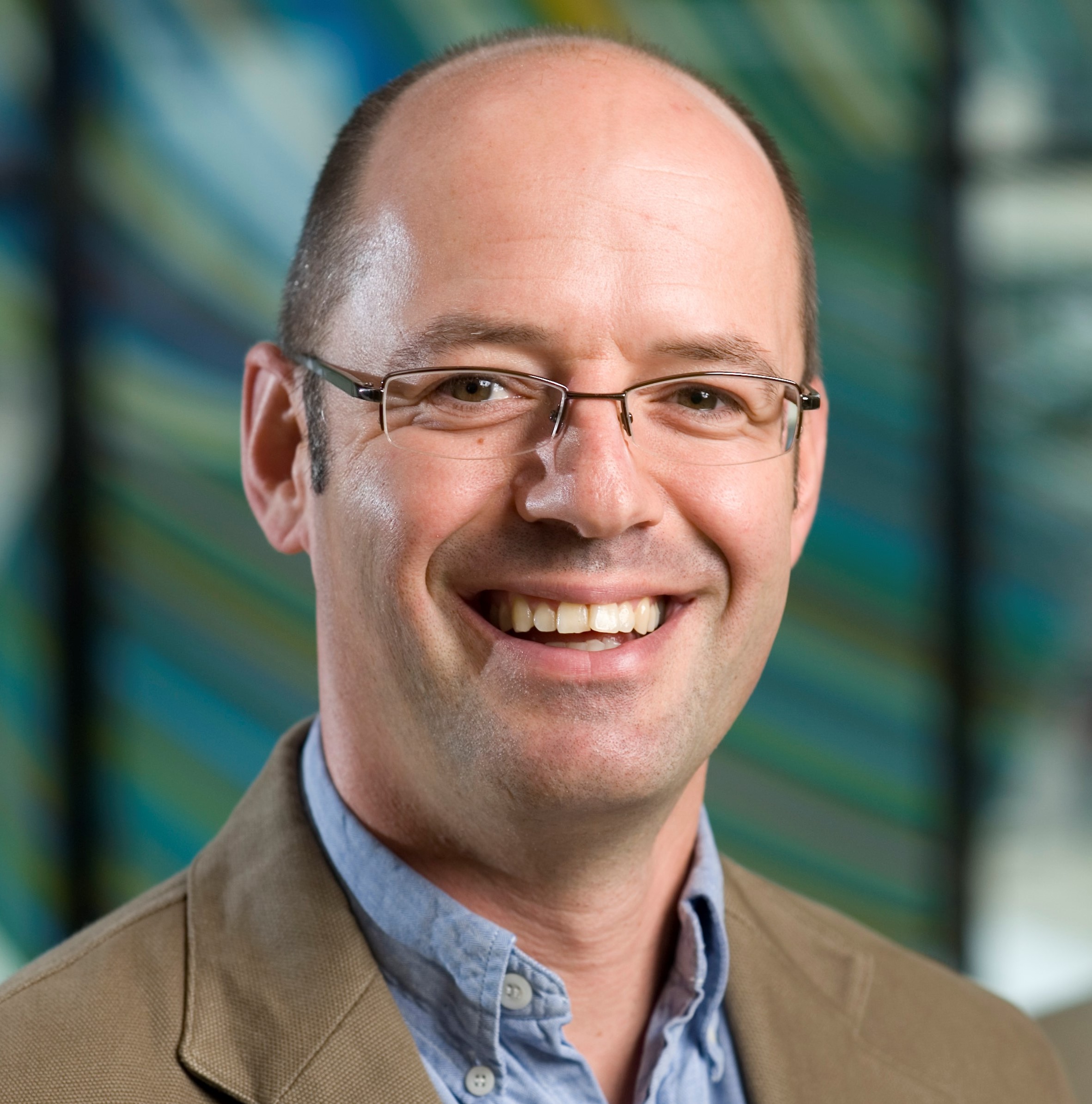
Prof. Clive Sabel, Aarhus University, Denmark. Currently UC Erskine Fellow
Prof Sabel is a spatial data scientist working in the nexus between health and spatial data informatics. He is Director, BERTHA – Big Data Centre for Environment and Health at Aarhus University, but previously worked at the University of Canterbury, Department of Geography as a GISc lecturer.
The BERTHA Big Data Centre for Environment and Health at Aarhus University, Denmark, aims to muster the huge potential opportunities from the Big Data revolution to help us understand the complex interactions between environmental pollutants and human health. Spatial lifecourse epidemiology and the exposome, are seminal concepts that underpin the centre, as we aim to recreate the lifecourses of the entire Danish population.
Key to this overarching aim is Spatial Data Science, rich (Big) datasets, developing algorithms and intelligent data analytics, applied to our specific health outcomes that include cardiorespiratory and mental health.
Significant computational challenges include Big Data collection and linkage from diverse data sources that vary over space and time. Data sources include national health registries, nationwide environmental exposures at fine spatial and temporal resolution; social media; personalised sensors; and individual biomarkers from blood bank, cardiac and physical activity cohorts. A further challenge involves developing Big Data analytics to extract pattern or trends from this complex set of data, a truly Big Data mining initiative.
Flyer for download/print: GRISS Prof. Clive Sabel
IMPORTANT NOTE
The seminar will run online via zoom, as well as in-person depending on the lastest covid-19 updates and regulations. Please watch this space for updates closer to the time. Under covid-19 levels 2-4, the seminar will be held online only.
Light refreshments and networking from 12.30 pm; the seminar will start at 1 pm.
Venue: