Research team
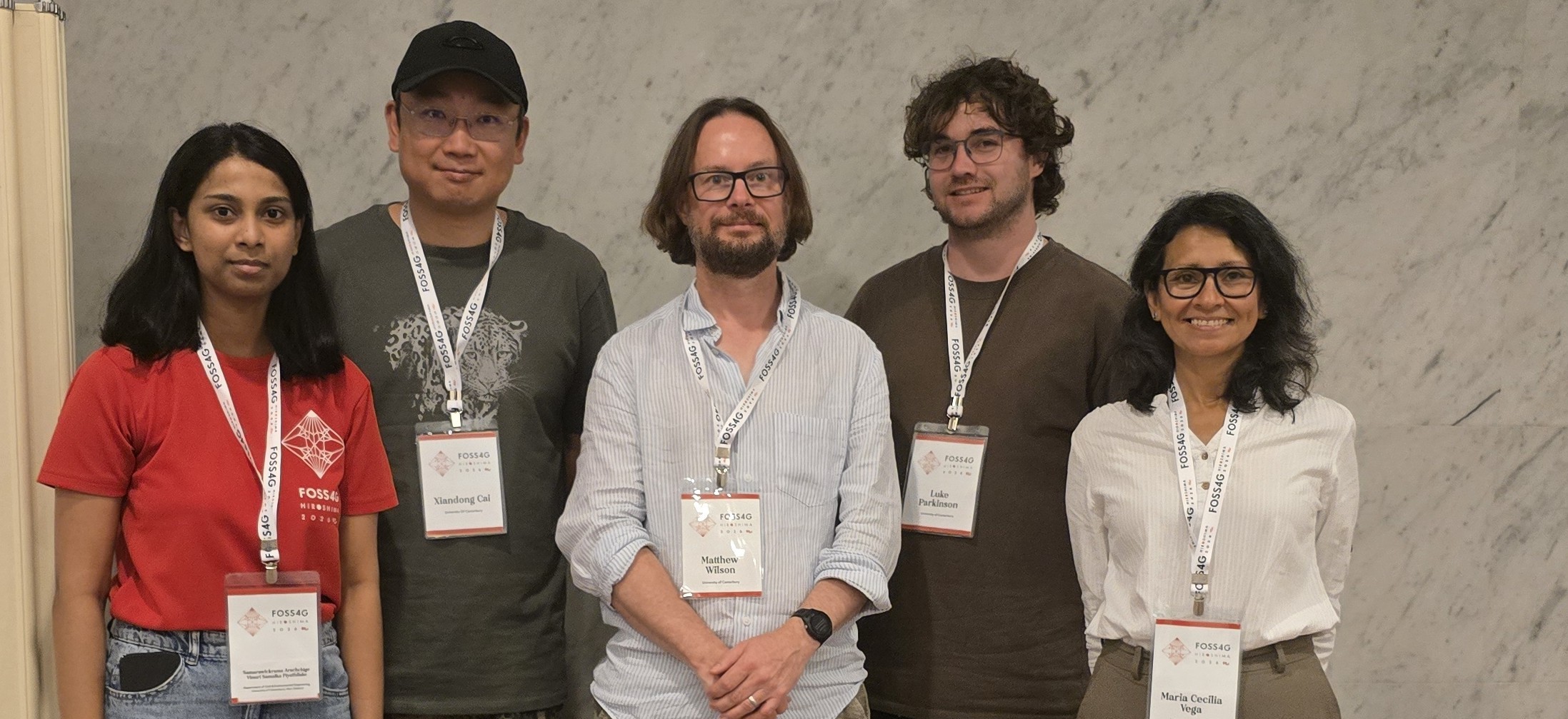
Matthew Wilson (University of Canterbury)
Iain Gover (Te Rūnanga o Ngāi Tahu)
Xander Cai (University of Canterbury)
Luke Parkinson (University of Canterbury)
Funding
The Natural Hazards Commission
Project summary
Flood inundation is a frequent, widespread, and impactful hazard that regularly causes damage to housing and infrastructure while disrupting whānau, communities, and businesses. Flood risk is expected to increase as a result of climate change, driven by more intense storm events and continued urban growth. To effectively manage flood risk now and in the future, risk assessments for multiple scenarios must be communicated using methods that are appropriate for different audiences. However, there is limited understanding of which communication approaches are most effective, why they work, and for whom. This challenge has been particularly evident since Cyclone Gabrielle in February 2023, which caused unprecedented impacts that were not fully anticipated or understood beforehand.
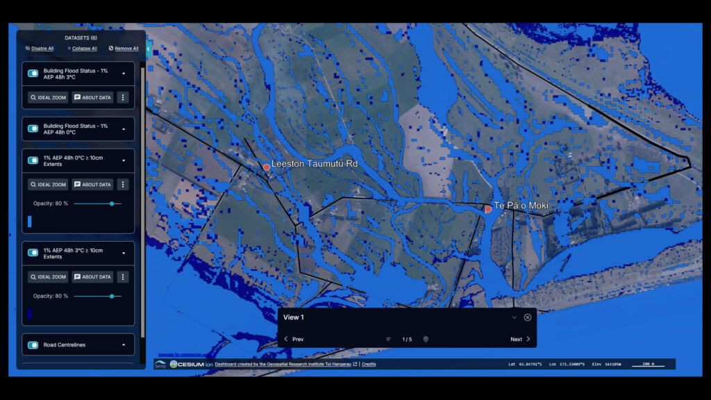
Flood risks are generally poorly understood by the public, with flood events taking communities by surprise even if risk assessments have been completed. Further, traditional two-dimensional risk maps are limited by interpretability challenges. Three-dimension AI visualisations and immersive Virtual Reality (VR) technology have been found to be
more intuitive due to their increased realism. This research will design and test advanced visualisations of flood risk using VR, with the aim to improve awareness of flood risk in Aotearoa.
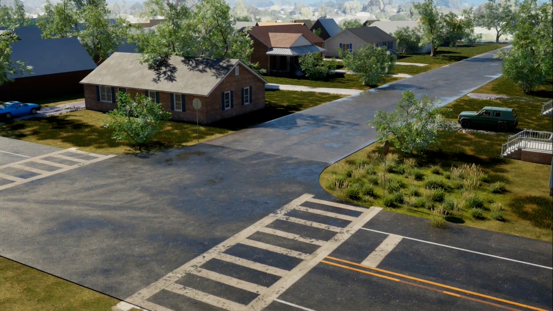
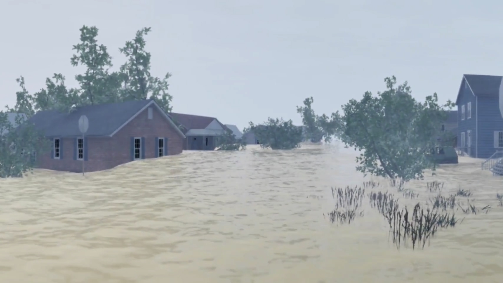
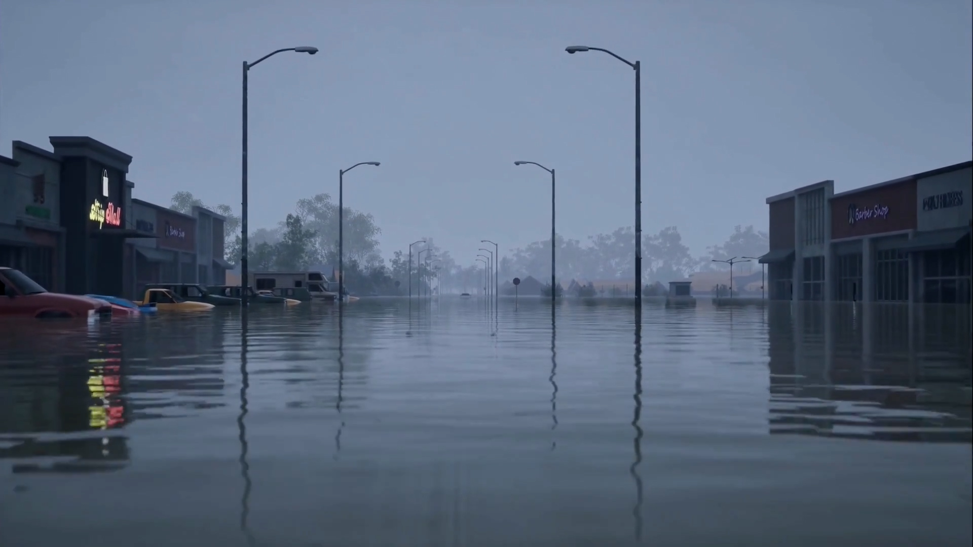
To support a better understanding of flood hazards and strengthen risk awareness, the project developed a suite of advanced flood-risk visualisations. Innovative technologies were used to create tailored approaches for communicating flood risk effectively to a range of audiences. The project focused on developing and testing high-resolution, realistic, and dynamic visualisations that demonstrate the potential impacts of flooding under different scenarios. These tools provide communities and decision-makers with reliable and accessible information about current and future flood risks.
Building on our existing prototype system for the automated generation of flood scenarios, the project team co-designed and developed advanced visualisations of future flood scenarios. We have actively engaged with Rūnanga of a Māori community, with the help and support of Te Rūnanga o Ngāi Tahu (TRoNT) geospatial and transformation teams as well as the Ngāi Tahu Centre, University of Canterbury. The scenarios developed will allow end users to be situated within a virtual visualisation of how the flood risk was like, is like, and might be like in future.
As part of this project, the effectiveness of this method to communicate risk and improve awareness will be compared to traditional two-dimensional maps of flood scenarios for each location. The findings will help identify the most effective approaches for increasing public understanding of flood risk and supporting informed decision-making.
Together with existing computer model outputs we used geospatial data to create digital replicas of real locations.
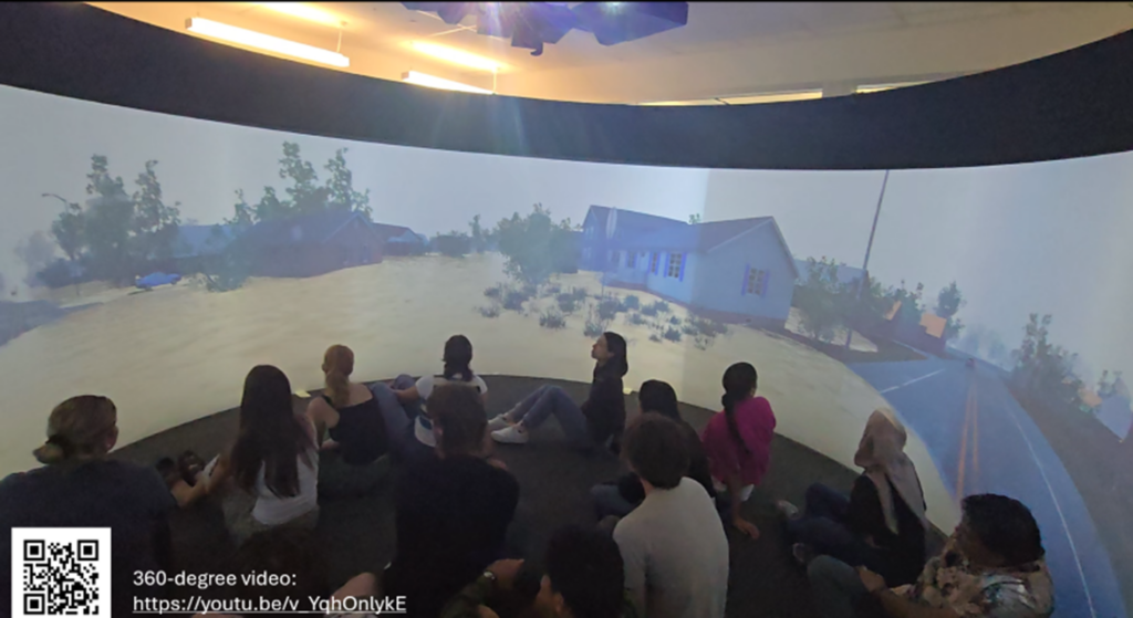
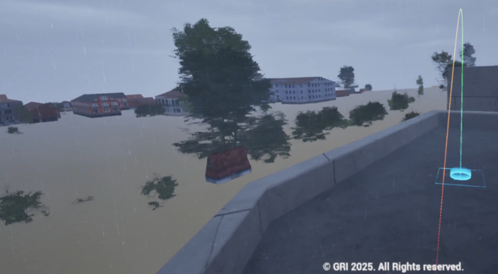
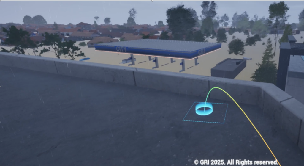
We developed methods to produce three types of advanced visualisations of flood risk scenarios:
- Interactive 3D visualisation tool.
- 360° video and
- Virtual Reality (VR)