 Speaker:
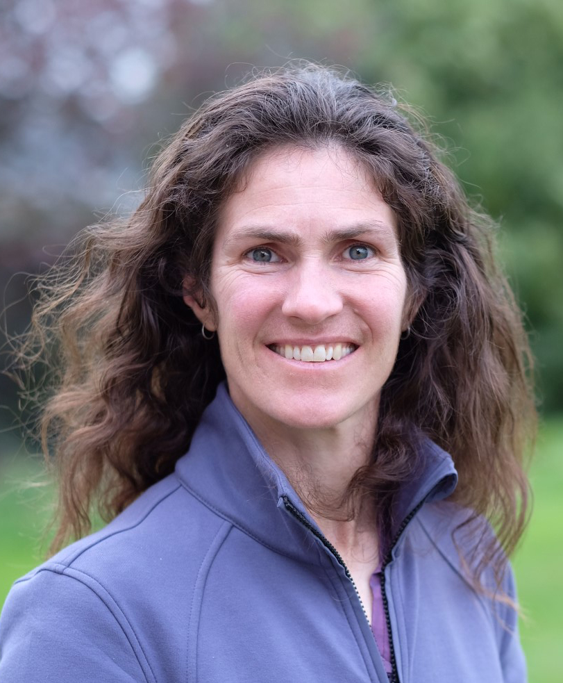
Dr Emily M Lane
Principal Scientist
Earth Sciences New Zealand
(formally NIWA)
Dr Emily M Lane is a Principal Scientist in natural hazards and hydrodynamics at Earth Sciences New Zealand (formerly of NIWA) as well as the Flagship Programme Leader in Hazards. Her background is hydrodynamic modelling with a specific focus on inundation due to tsunamis, storm surge and fluvial and pluvial flooding. She is leading an Endeavour Programme to increase Aotearoa’s resilience to flooding by bringing together nationally consistent information on the flood hazard and risk. She is a member of the Tsunami Expert Panel who provide expert advice to Civil Defence during tsunami alerts. Her background is applied mathematics and she has a PhD in applied mathematics with a geoscience minor from the University of Arizona. She has been working at NIWA since 2006.
Seminar Summary:
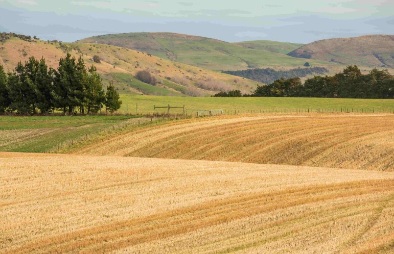
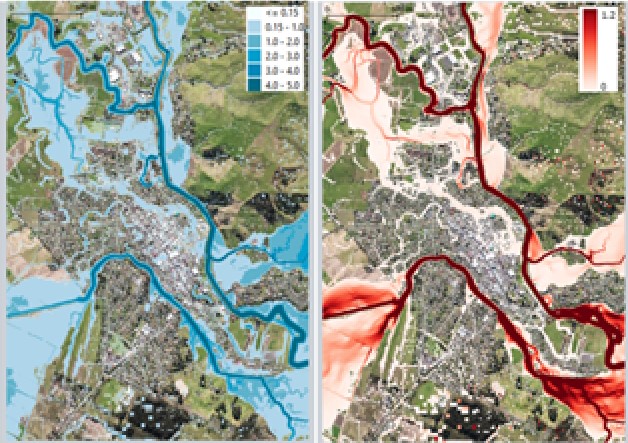
Flooding is Aotearoa’s most frequent and one of its costliest natural hazards. Yet information on flood hazard is generally produced at a regional and local level with little consistency on the severity of the flooding modelled, the methodology used or whether climate change effects are included. This talk will report on results from a 5-year MBIE-funded Endeavour Programme, Mā te Haumaru o te Wai on the development of a semi-automated workflow to consistently model flood hazard and risk over all of Aotearoa for current and future climates, and show results from this work that are being made available on our flood hazard and risk viewing platform to help ensure there is consistent information available. It will also report on other aspects of the programme to better understand what can be done to help communities become more resilient to future flooding including three case study locations where complex systems maps were used understand all the interacting social aspects to flood resilience in addition to the physical and work with Wairewa Rūnanga to understand flooding from a hapū perspective.
27th November 2025
Ernest Rutherford 263 | University of Canterbury or Online via Zoom
- Refreshments & Networking: 12:30-1:00 pm
- Seminar: 1:00-2:00 pm
- Register for free at HUMANITIX: https://events.humanitix.com/floodhazardandrisk
Join on Zoom:
Join Zoom Meeting at 1pm November 27, 2025
https://canterbury.zoom.us/j/93379897824?pwd=Vwy7aundjocoP005uHyBrUbo7ngo08.1
Meeting ID: 933 7989 7824
Passcode: 526479